
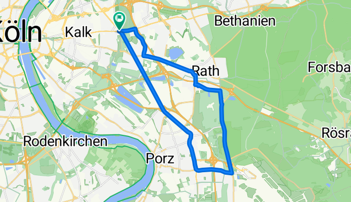
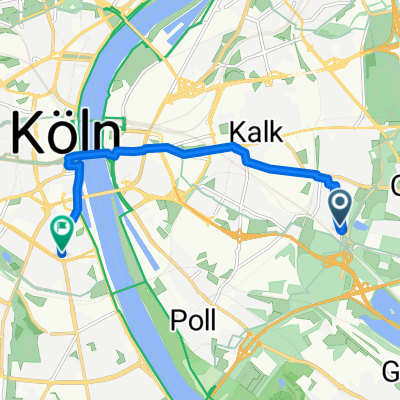
20 kilometer in köln
A cycling route starting in Höhenberg, North Rhine-Westphalia, Germany.
Overview
About this route
köln flughafen 20 kilometer
- -:--
- Duration
- 20 km
- Distance
- 28 m
- Ascent
- 29 m
- Descent
- ---
- Avg. speed
- 68 m
- Avg. speed
Route quality
Waytypes & surfaces along the route
Waytypes
Path
8 km
(40 %)
Busy road
7.3 km
(37 %)
Surfaces
Paved
15.8 km
(79 %)
Unpaved
0.2 km
(<1 %)
Asphalt
15.3 km
(76 %)
Paved (undefined)
0.4 km
(2 %)
Continue with Bikemap
Use, edit, or download this cycling route
You would like to ride 20 kilometer in köln or customize it for your own trip? Here is what you can do with this Bikemap route:
Free features
- Save this route as favorite or in collections
- Copy & plan your own version of this route
- Sync your route with Garmin or Wahoo
Premium features
Free trial for 3 days, or one-time payment. More about Bikemap Premium.
- Navigate this route on iOS & Android
- Export a GPX / KML file of this route
- Create your custom printout (try it for free)
- Download this route for offline navigation
Discover more Premium features.
Get Bikemap PremiumFrom our community
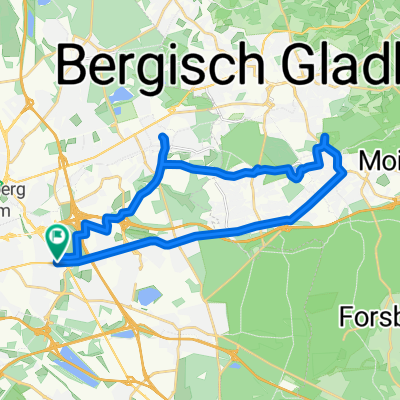
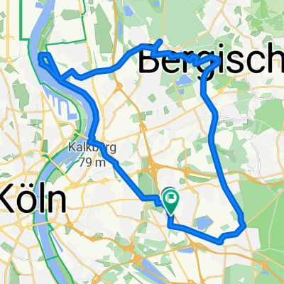
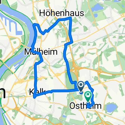
Other popular routes starting in Höhenberg
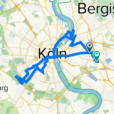 Quer durch Köln
- Distance
- 37.1 km
- Ascent
- 91 m
- Descent
- 90 m
- Location
- Höhenberg, North Rhine-Westphalia, Germany
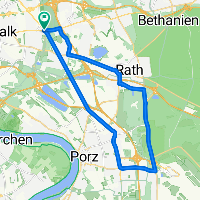 20 kilometer in köln
- Distance
- 20 km
- Ascent
- 28 m
- Descent
- 29 m
- Location
- Höhenberg, North Rhine-Westphalia, Germany
 Trainingsrunde um Lohmar
- Distance
- 72.8 km
- Ascent
- 472 m
- Descent
- 472 m
- Location
- Höhenberg, North Rhine-Westphalia, Germany
 Kuthstraße, Köln nach Severinstraße, Köln
- Distance
- 18 km
- Ascent
- 237 m
- Descent
- 188 m
- Location
- Höhenberg, North Rhine-Westphalia, Germany
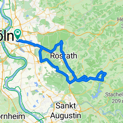
 Runde über Bensberger Baugrube
- Distance
- 25.5 km
- Ascent
- 120 m
- Descent
- 123 m
- Location
- Höhenberg, North Rhine-Westphalia, Germany
 Ostheim Mülheim Stammhein Rath Heumar
- Distance
- 34.2 km
- Ascent
- 0 m
- Descent
- 0 m
- Location
- Höhenberg, North Rhine-Westphalia, Germany
 Kuthstraße, Köln nach Mühlenbach, Köln
- Distance
- 6.3 km
- Ascent
- 68 m
- Descent
- 19 m
- Location
- Höhenberg, North Rhine-Westphalia, Germany
 Radru21.08.2017
- Distance
- 20 km
- Ascent
- 48 m
- Descent
- 47 m
- Location
- Höhenberg, North Rhine-Westphalia, Germany
Open it in the app