
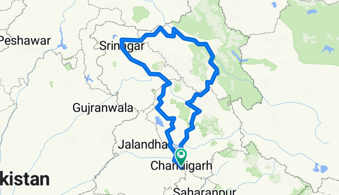
chandigarh to leh and back via kilar
A cycling route starting in Chandigarh, Chandigarh, India.
Overview
About this route
- -:--
- Duration
- 2,064.7 km
- Distance
- 14,493 m
- Ascent
- 14,493 m
- Descent
- ---
- Avg. speed
- ---
- Avg. speed
Continue with Bikemap
Use, edit, or download this cycling route
You would like to ride chandigarh to leh and back via kilar or customize it for your own trip? Here is what you can do with this Bikemap route:
Free features
- Save this route as favorite or in collections
- Copy & plan your own version of this route
- Sync your route with Garmin or Wahoo
Premium features
Free trial for 3 days, or one-time payment. More about Bikemap Premium.
- Navigate this route on iOS & Android
- Export a GPX / KML file of this route
- Create your custom printout (try it for free)
- Download this route for offline navigation
Discover more Premium features.
Get Bikemap PremiumFrom our community
Other popular routes starting in Chandigarh
 cm2c's First ride after upgrade
- Distance
- 25.2 km
- Ascent
- 368 m
- Descent
- 377 m
- Location
- Chandigarh, Chandigarh, India
 Panchkula to Baddi
- Distance
- 54.1 km
- Ascent
- 1,083 m
- Descent
- 1,014 m
- Location
- Chandigarh, Chandigarh, India
 Day 5: Chandigarh-Solan
- Distance
- 66.2 km
- Ascent
- 1,590 m
- Descent
- 384 m
- Location
- Chandigarh, Chandigarh, India
 Sukhna lake 8 Nov
- Distance
- 28.4 km
- Ascent
- 155 m
- Descent
- 169 m
- Location
- Chandigarh, Chandigarh, India
 Panchkula to Dera Bassi
- Distance
- 17 km
- Ascent
- 207 m
- Descent
- 235 m
- Location
- Chandigarh, Chandigarh, India
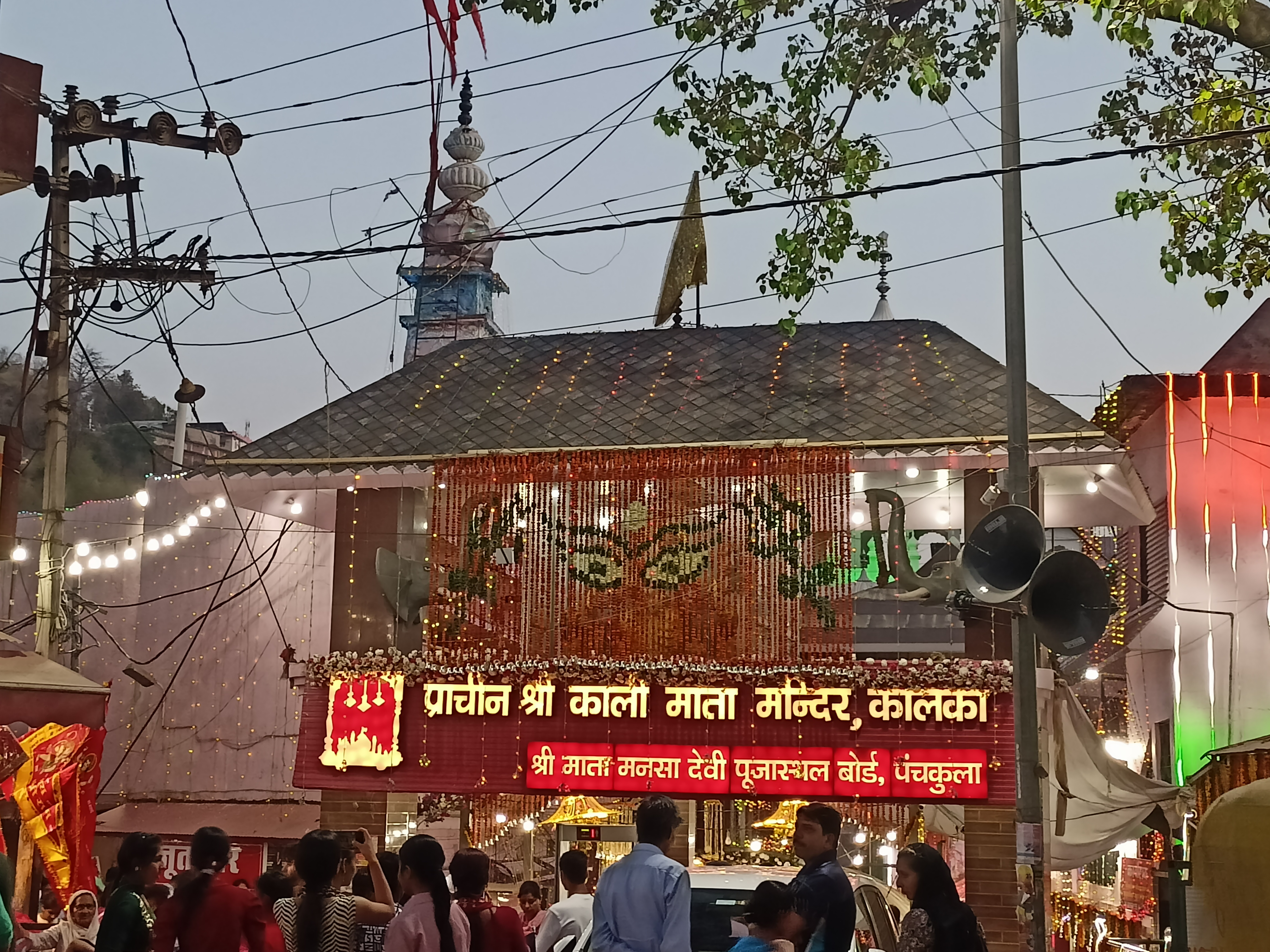 Panchkula to Kalka Temple
- Distance
- 19.2 km
- Ascent
- 678 m
- Descent
- 300 m
- Location
- Chandigarh, Chandigarh, India
 Recovered Route
- Distance
- 12.9 km
- Ascent
- 72 m
- Descent
- 71 m
- Location
- Chandigarh, Chandigarh, India
 Slow ride in Sahibzada Ajit Singh Nagar
- Distance
- 13.4 km
- Ascent
- 23 m
- Descent
- 48 m
- Location
- Chandigarh, Chandigarh, India
Open it in the app