

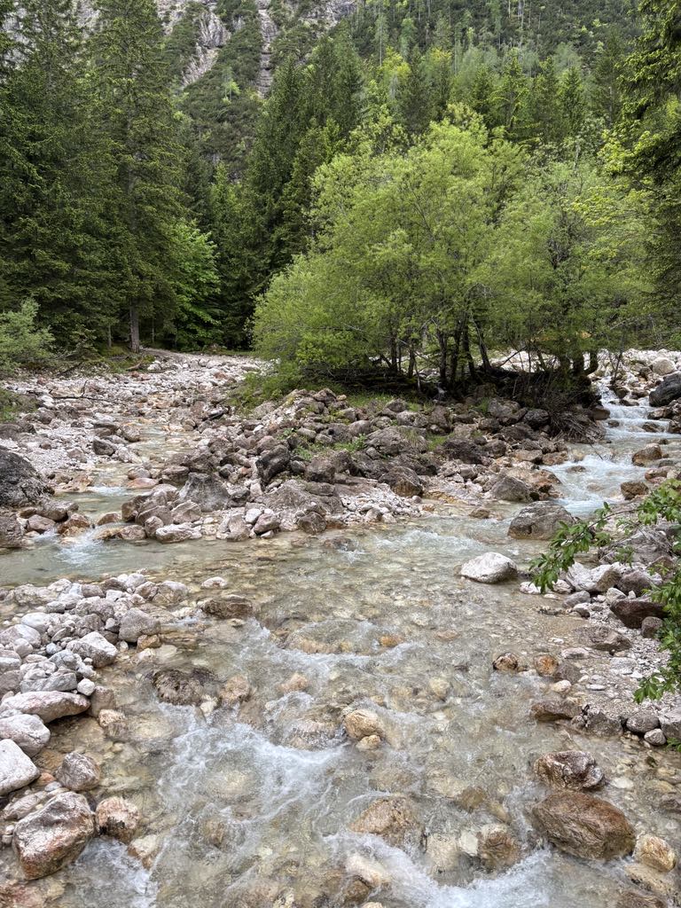
Túra a Soca-folyó mentén
A cycling route starting in Kranjska Gora, Kranjska Gora, Slovenia.
Overview
About this route
Körtúra Kranjska Gora-ból, majd a Soca-folyó mentén Szlovénia legmagasabban fekvő sípályáig a Bovecig, ezt követően Tarvisio, majd a Monarchia kerékpárúton vissza Kranjska Gora-ba.
- -:--
- Duration
- 88.8 km
- Distance
- 1,723 m
- Ascent
- 1,721 m
- Descent
- ---
- Avg. speed
- ---
- Avg. speed

Route quality
Waytypes & surfaces along the route
Waytypes
Busy road
68.9 km
(78 %)
Quiet road
9 km
(10 %)
Surfaces
Paved
84.4 km
(95 %)
Unpaved
0.7 km
(<1 %)
Asphalt
77.7 km
(88 %)
Paved (undefined)
6.6 km
(7 %)
Continue with Bikemap
Use, edit, or download this cycling route
You would like to ride Túra a Soca-folyó mentén or customize it for your own trip? Here is what you can do with this Bikemap route:
Free features
- Save this route as favorite or in collections
- Copy & plan your own version of this route
- Sync your route with Garmin or Wahoo
Premium features
Free trial for 3 days, or one-time payment. More about Bikemap Premium.
- Navigate this route on iOS & Android
- Export a GPX / KML file of this route
- Create your custom printout (try it for free)
- Download this route for offline navigation
Discover more Premium features.
Get Bikemap PremiumFrom our community
Other popular routes starting in Kranjska Gora
 Okruh z Trenty
- Distance
- 111 km
- Ascent
- 3,684 m
- Descent
- 3,339 m
- Location
- Kranjska Gora, Kranjska Gora, Slovenia
 Zoza 3.Tag VM Kranjska Gora - Dom na Vrsicu - Bohinj-
- Distance
- 12.8 km
- Ascent
- 1,035 m
- Descent
- 349 m
- Location
- Kranjska Gora, Kranjska Gora, Slovenia
 Bleder See
- Distance
- 65.9 km
- Ascent
- 643 m
- Descent
- 643 m
- Location
- Kranjska Gora, Kranjska Gora, Slovenia
 TDL 2009 Tag 2 Var x
- Distance
- 34.7 km
- Ascent
- 1,887 m
- Descent
- 1,961 m
- Location
- Kranjska Gora, Kranjska Gora, Slovenia
 Vitranška ulica 10b nach Via Laghi
- Distance
- 10.8 km
- Ascent
- 274 m
- Descent
- 149 m
- Location
- Kranjska Gora, Kranjska Gora, Slovenia
 Kranjska Gora - Belopeška - Valbruna
- Distance
- 59.8 km
- Ascent
- 1,178 m
- Descent
- 1,177 m
- Location
- Kranjska Gora, Kranjska Gora, Slovenia
 Kranjska Gora - Bovec Etappe 1
- Distance
- 13.9 km
- Ascent
- 1,137 m
- Descent
- 368 m
- Location
- Kranjska Gora, Kranjska Gora, Slovenia
 Nassfeld - Podkoren
- Distance
- 128.2 km
- Ascent
- 1,722 m
- Descent
- 1,718 m
- Location
- Kranjska Gora, Kranjska Gora, Slovenia
Open it in the app