

Radtraining Telz
A cycling route starting in Lichtenrade, Land Berlin, Germany.
Overview
About this route
Diese Trainingsstrecke führt vom Stadtrand Berlin-Lichtenrade u.a. über Mittenwalde, Telz, Dabendorf und Blankenfelde wieder zurück zum Ausgangspunkt.
Die Strecke ordnet sich von ihrer Länge zwischen den Trainingsstrecken Ragow und Kallinchen ein und hat auf dem Stück nach Telz einen stärkeren Anstieg als die anderen Strecken mit dabei.
Bei der Ortsdurchfahrt Mittenwalde gibt es leider eine "richtige" Ampel und eine Fußgängerampel. Kurz vor Dabendorf muss die viel befahrene B96 überquert werden. In Dabendorf wird ein beschrankter Bahnübergang überquert. In Blankenfelde gibt es neben Kopfsteinpflaster auch eine Ampel. In Glasow gibt es ein Stop-Schild.Somit ist die Chance auf wenig verkehrsbedingte Einschränkungen nicht so gut wie auf den anderen Trainingsstrecken.
- -:--
- Duration
- 56.9 km
- Distance
- 108 m
- Ascent
- 105 m
- Descent
- ---
- Avg. speed
- ---
- Avg. speed
Route quality
Waytypes & surfaces along the route
Waytypes
Path
19.3 km
(34 %)
Quiet road
14.7 km
(26 %)
Surfaces
Paved
55.6 km
(98 %)
Unpaved
0.3 km
(<1 %)
Asphalt
52.9 km
(93 %)
Paving stones
2.6 km
(5 %)
Continue with Bikemap
Use, edit, or download this cycling route
You would like to ride Radtraining Telz or customize it for your own trip? Here is what you can do with this Bikemap route:
Free features
- Save this route as favorite or in collections
- Copy & plan your own version of this route
- Sync your route with Garmin or Wahoo
Premium features
Free trial for 3 days, or one-time payment. More about Bikemap Premium.
- Navigate this route on iOS & Android
- Export a GPX / KML file of this route
- Create your custom printout (try it for free)
- Download this route for offline navigation
Discover more Premium features.
Get Bikemap PremiumFrom our community
Other popular routes starting in Lichtenrade
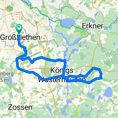
 Lichtenrade - Großziethen
- Distance
- 15.9 km
- Ascent
- 19 m
- Descent
- 19 m
- Location
- Lichtenrade, Land Berlin, Germany
 perm Wenzlow
- Distance
- 82.9 km
- Ascent
- 179 m
- Descent
- 179 m
- Location
- Lichtenrade, Land Berlin, Germany
 Vatertag 2020
- Distance
- 49.2 km
- Ascent
- 88 m
- Descent
- 90 m
- Location
- Lichtenrade, Land Berlin, Germany
 Mahlow Waßmansdorf Rudow
- Distance
- 23.2 km
- Ascent
- 34 m
- Descent
- 32 m
- Location
- Lichtenrade, Land Berlin, Germany
 Lichtenrade-Kienitz
- Distance
- 31.1 km
- Ascent
- 42 m
- Descent
- 45 m
- Location
- Lichtenrade, Land Berlin, Germany
 From Blankenfelde-Mahlow to Berlin
- Distance
- 65.5 km
- Ascent
- 269 m
- Descent
- 266 m
- Location
- Lichtenrade, Land Berlin, Germany
 From Blankenfelde-Mahlow to Berlin
- Distance
- 65.5 km
- Ascent
- 269 m
- Descent
- 266 m
- Location
- Lichtenrade, Land Berlin, Germany
 Meine kleine Südrunde
- Distance
- 17.1 km
- Ascent
- 37 m
- Descent
- 41 m
- Location
- Lichtenrade, Land Berlin, Germany
Open it in the app