

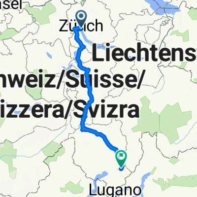
Part 6 Zurich to Mainz
A cycling route starting in Zürich (Kreis 1), Canton of Zurich, Switzerland.
Overview
About this route
Following the Euro Velo 15: Rhine Route.
This route I have created to follow the Rhine on the Eastern side of the river, until Karlsrhe, and then it follows the Rhine on the Western side of the river. About 99% of the route follows bike paths, with some small sections following
- -:--
- Duration
- 497.7 km
- Distance
- 102 m
- Ascent
- 424 m
- Descent
- ---
- Avg. speed
- ---
- Avg. speed
Route quality
Waytypes & surfaces along the route
Waytypes
Track
226.2 km
(45 %)
Quiet road
84.8 km
(17 %)
Surfaces
Paved
325.3 km
(65 %)
Unpaved
157 km
(32 %)
Asphalt
303.3 km
(61 %)
Gravel
118.8 km
(24 %)
Continue with Bikemap
Use, edit, or download this cycling route
You would like to ride Part 6 Zurich to Mainz or customize it for your own trip? Here is what you can do with this Bikemap route:
Free features
- Save this route as favorite or in collections
- Copy & plan your own version of this route
- Sync your route with Garmin or Wahoo
Premium features
Free trial for 3 days, or one-time payment. More about Bikemap Premium.
- Navigate this route on iOS & Android
- Export a GPX / KML file of this route
- Create your custom printout (try it for free)
- Download this route for offline navigation
Discover more Premium features.
Get Bikemap PremiumFrom our community
Other popular routes starting in Zürich (Kreis 1)
 Zürich - Rom, 1. Etappe
- Distance
- 197.7 km
- Ascent
- 2,137 m
- Descent
- 2,312 m
- Location
- Zürich (Kreis 1), Canton of Zurich, Switzerland
 Zürichsee
- Distance
- 94.8 km
- Ascent
- 319 m
- Descent
- 309 m
- Location
- Zürich (Kreis 1), Canton of Zurich, Switzerland
 Bellevue - Albis - Buchenegg - Bellevue
- Distance
- 33.8 km
- Ascent
- 643 m
- Descent
- 615 m
- Location
- Zürich (Kreis 1), Canton of Zurich, Switzerland
 Day 1 - Zug
- Distance
- 69.9 km
- Ascent
- 870 m
- Descent
- 863 m
- Location
- Zürich (Kreis 1), Canton of Zurich, Switzerland
 Zürich-Pragelpass-Schwyz-Zug
- Distance
- 134.2 km
- Ascent
- 1,375 m
- Descent
- 1,350 m
- Location
- Zürich (Kreis 1), Canton of Zurich, Switzerland
 Zürich-Lachen-Wägitalersee-Sattelegg-Einsiedeln-Richtersil
- Distance
- 96.9 km
- Ascent
- 1,766 m
- Descent
- 1,341 m
- Location
- Zürich (Kreis 1), Canton of Zurich, Switzerland
 Zeppelin_bici_archibike_Basilea_Zurigo_Lucerna_2015
- Distance
- 384.1 km
- Ascent
- 1,324 m
- Descent
- 1,294 m
- Location
- Zürich (Kreis 1), Canton of Zurich, Switzerland
 Schweizergrenze 1:5_Entwurf_2
- Distance
- 303.4 km
- Ascent
- 2,698 m
- Descent
- 2,697 m
- Location
- Zürich (Kreis 1), Canton of Zurich, Switzerland
Open it in the app