

Bird's Hill Park, Road Route
A cycling route starting in Winnipeg, Manitoba, Canada.
Overview
About this route
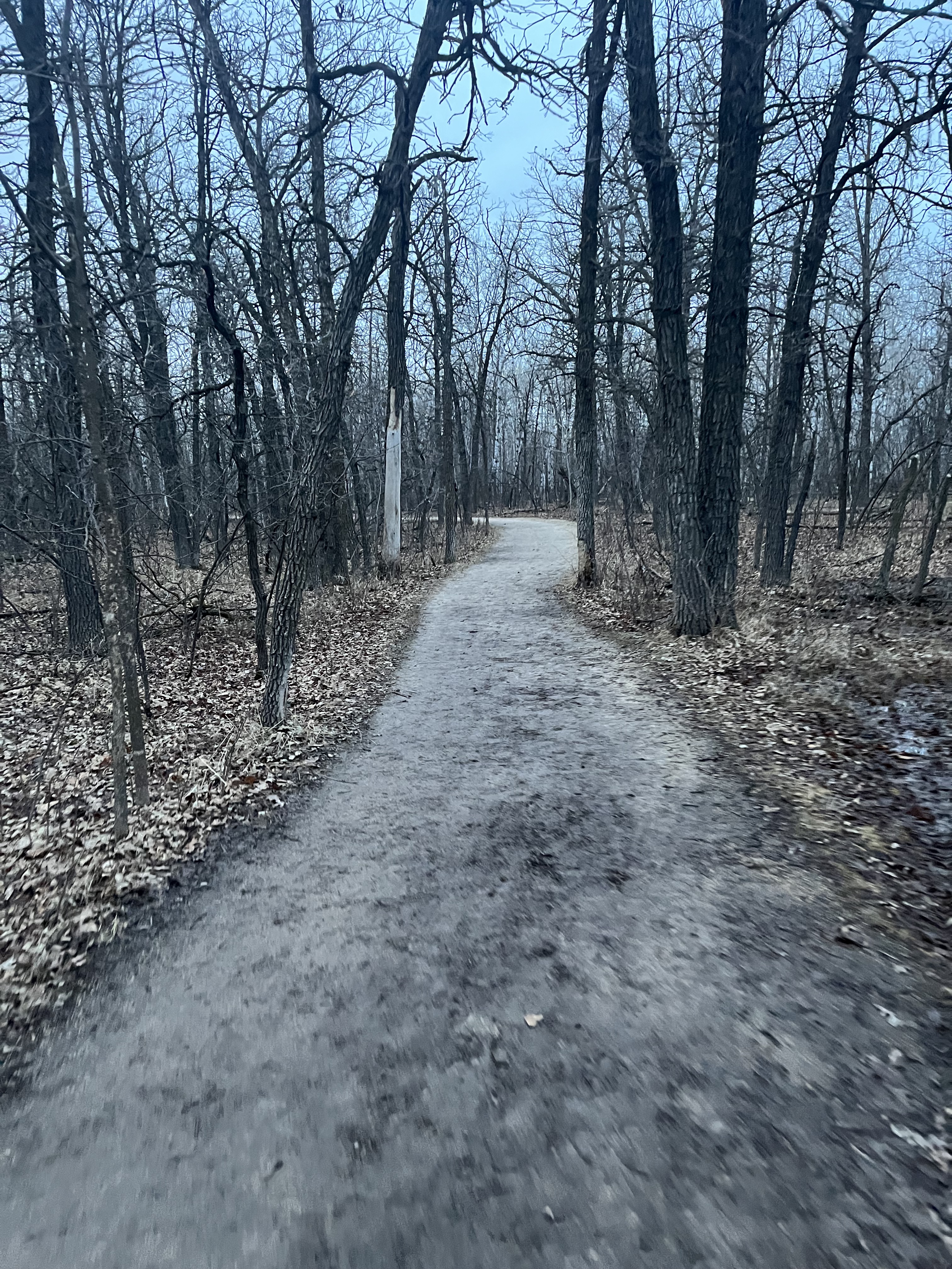
Paved route. The floodway crossing near the park is gravel, but my road bike has survived. Raleigh St. near the perimeter is undergoing construction, so there should be a Lagimodiere bypass by fall 2018.
- -:--
- Duration
- 29 km
- Distance
- 36 m
- Ascent
- 30 m
- Descent
- ---
- Avg. speed
- ---
- Avg. speed
Route quality
Waytypes & surfaces along the route
Waytypes
Road
9.9 km
(34 %)
Cycleway
9.1 km
(31 %)
Surfaces
Paved
11.4 km
(39 %)
Unpaved
1.1 km
(4 %)
Asphalt
7.1 km
(24 %)
Concrete
2.9 km
(10 %)
Continue with Bikemap
Use, edit, or download this cycling route
You would like to ride Bird's Hill Park, Road Route or customize it for your own trip? Here is what you can do with this Bikemap route:
Free features
- Save this route as favorite or in collections
- Copy & plan your own version of this route
- Sync your route with Garmin or Wahoo
Premium features
Free trial for 3 days, or one-time payment. More about Bikemap Premium.
- Navigate this route on iOS & Android
- Export a GPX / KML file of this route
- Create your custom printout (try it for free)
- Download this route for offline navigation
Discover more Premium features.
Get Bikemap PremiumFrom our community
Other popular routes starting in Winnipeg
 Eaglewood Dr, Winnipeg a St Vital Park, Winnipeg
- Distance
- 10.7 km
- Ascent
- 370 m
- Descent
- 381 m
- Location
- Winnipeg, Manitoba, Canada
 Wolseley ride
- Distance
- 15.4 km
- Ascent
- 16 m
- Descent
- 18 m
- Location
- Winnipeg, Manitoba, Canada
 Gateway - Peguis - Scotia
- Distance
- 26.8 km
- Ascent
- 26 m
- Descent
- 27 m
- Location
- Winnipeg, Manitoba, Canada
 Riverview/Lord Roberts Community Garden Tour
- Distance
- 6.7 km
- Ascent
- 15 m
- Descent
- 15 m
- Location
- Winnipeg, Manitoba, Canada
 South St. Vital Loop
- Distance
- 14.8 km
- Ascent
- 18 m
- Descent
- 16 m
- Location
- Winnipeg, Manitoba, Canada
 Bourkevale/St Matthews Route
- Distance
- 8.7 km
- Ascent
- 8 m
- Descent
- 4 m
- Location
- Winnipeg, Manitoba, Canada
 Forks Route
- Distance
- 9.6 km
- Ascent
- 45 m
- Descent
- 44 m
- Location
- Winnipeg, Manitoba, Canada
 I fell 💪
- Distance
- 15.9 km
- Ascent
- 420 m
- Descent
- 230 m
- Location
- Winnipeg, Manitoba, Canada
Open it in the app