Premium Badge Download on the App Store Get it on Google Play Turn-by-turn Navigation Offline Maps Bike Type Optimized Routing Premium Maps Custom Bike Computer Export Routes Route Previews Fall Detection Premium Support

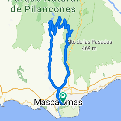
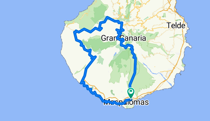
Cycling Route in Maspalomas, Canary Islands, Spain

Tal der Tränen

2
Open this route in the Bikemap app

Open this route in the Bikemap app

Open this route in Bikemap Web

Open this route in Bikemap Web

147 km
Distance
2433 m
Ascent
2433 m
Descent
-:-- h
Duration
-- km/h
Avg. Speed
--- m
Max. Elevation

About This Route

Heftige Tour! Aber super schön zum Fahren - Zuerst entlang der Küstenstrasse, dann von Mogan ca. 15 KM Bergauf - dann runter nach S.Nicolai und dann ab ins Tal der Tränen - 25 KM Anstieg - es folgt das Gschuppfte und dann 90 min Abfahrt nach Maspalomas! ca. 3.350 HM

This cycling route is ideal for: Road bike

You will cycle on the following surfaces: Paved

Customize this cycling route with the Bikemap route planner.

Make it yours!

Did you know? You can use this route as a template in our cycling route planner if you don't wish to start from scratch. Customize it based on your needs to plan your perfect cycling tour.

Open it in the app