
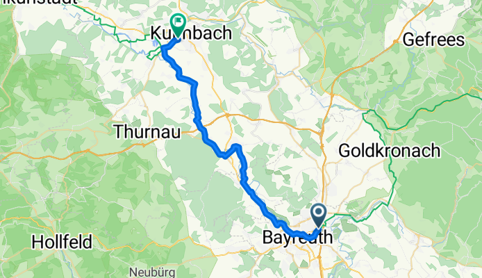
Bayreuth - Kulmbach
A cycling route starting in Bayreuth, Bavaria, Germany.
Overview
About this route
- -:--
- Duration
- 29 km
- Distance
- 100 m
- Ascent
- 131 m
- Descent
- ---
- Avg. speed
- ---
- Avg. speed
Route quality
Waytypes & surfaces along the route
Waytypes
Quiet road
11 km
(38 %)
Road
8.2 km
(28 %)
Surfaces
Paved
26.9 km
(93 %)
Unpaved
0.3 km
(1 %)
Asphalt
26.3 km
(91 %)
Paving stones
0.5 km
(2 %)
Continue with Bikemap
Use, edit, or download this cycling route
You would like to ride Bayreuth - Kulmbach or customize it for your own trip? Here is what you can do with this Bikemap route:
Free features
- Save this route as favorite or in collections
- Copy & plan your own version of this route
- Sync your route with Garmin or Wahoo
Premium features
Free trial for 3 days, or one-time payment. More about Bikemap Premium.
- Navigate this route on iOS & Android
- Export a GPX / KML file of this route
- Create your custom printout (try it for free)
- Download this route for offline navigation
Discover more Premium features.
Get Bikemap PremiumFrom our community
Other popular routes starting in Bayreuth
 Bayreuth - Behringersmühle - Pottenstein - Bayreuth
- Distance
- 64.2 km
- Ascent
- 650 m
- Descent
- 650 m
- Location
- Bayreuth, Bavaria, Germany
 Rund um Bayreuth
- Distance
- 37.7 km
- Ascent
- 240 m
- Descent
- 249 m
- Location
- Bayreuth, Bavaria, Germany
 Oschenberg inkl. Arschkerbe
- Distance
- 24.8 km
- Ascent
- 306 m
- Descent
- 307 m
- Location
- Bayreuth, Bavaria, Germany
 Tennenlohe
- Distance
- 87.4 km
- Ascent
- 742 m
- Descent
- 830 m
- Location
- Bayreuth, Bavaria, Germany
 Entspannende Route in Bayreuth
- Distance
- 13.2 km
- Ascent
- 120 m
- Descent
- 123 m
- Location
- Bayreuth, Bavaria, Germany
 Main-Radweg – aus Trekkingbike 5/2012 - editiert 2
- Distance
- 519.1 km
- Ascent
- 167 m
- Descent
- 411 m
- Location
- Bayreuth, Bavaria, Germany
 RoterMainQuelle (kurz)
- Distance
- 30.9 km
- Ascent
- 345 m
- Descent
- 346 m
- Location
- Bayreuth, Bavaria, Germany
 3-Landkreis-Tour
- Distance
- 101.4 km
- Ascent
- 694 m
- Descent
- 691 m
- Location
- Bayreuth, Bavaria, Germany
Open it in the app