

Laa/ Thaya - Lednice - Brno
A cycling route starting in Laa an der Thaya, Lower Austria, Austria.
Overview
About this route
I rode this route within two days while spending a night in Lednice. Riding the route is not too complicated as you can follow the signs of European and Czech bike routes during some parts of your journey. But in any case I would take maps with me!
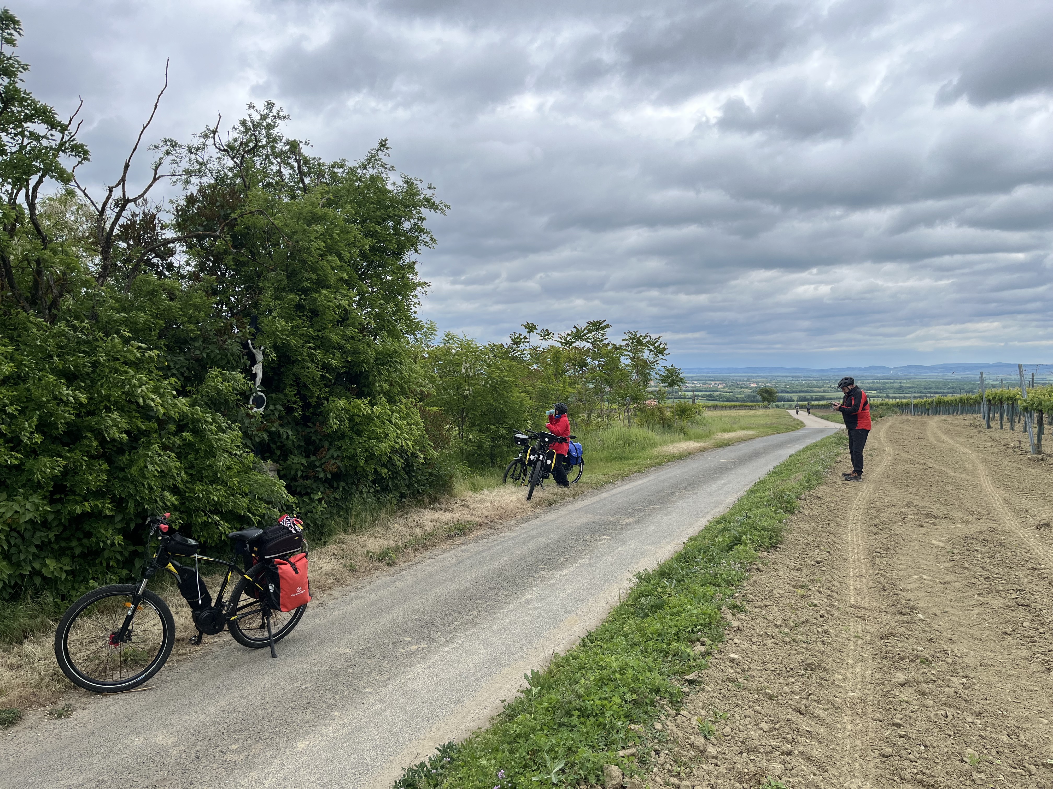
Ladscapes are heterogenious: between Laa until Mikulov there is mostly agricultural land (not much shadow or forests), followed by vine yards, a beautiful national park until Lednice. The castles and towns of Mikulov and Lednice are worth a visit!
The bike paths are in different conditions: from supreme asphalt to such bad condition that you can hardly ride there. I would recommend a mountain bike or solid trekking bike.
The landscape of the second part of the route after Lednice is also dominated by small villages and towns, vineyards and land in agricultural use. The route alongside the Novy Mlyny Lakes is beautiful but bike paths are in bad condition, between Ivan and Rajhrad you mostly ride by the street that is also used by car traffic (there is not too much traffic, so it seems safe). In Rajhradice you can have a break at the monastery. After Rajhrad you can mostly take the bike lane by the riverside that takes you quickly to Brno.
- -:--
- Duration
- 114.8 km
- Distance
- 225 m
- Ascent
- 186 m
- Descent
- ---
- Avg. speed
- ---
- Avg. speed

Route quality
Waytypes & surfaces along the route
Waytypes
Road
32.4 km
(28 %)
Cycleway
30.6 km
(27 %)
Surfaces
Paved
98.6 km
(86 %)
Unpaved
6.4 km
(6 %)
Asphalt
95.6 km
(83 %)
Ground
2.6 km
(2 %)
Continue with Bikemap
Use, edit, or download this cycling route
You would like to ride Laa/ Thaya - Lednice - Brno or customize it for your own trip? Here is what you can do with this Bikemap route:
Free features
- Save this route as favorite or in collections
- Copy & plan your own version of this route
- Sync your route with Garmin or Wahoo
Premium features
Free trial for 3 days, or one-time payment. More about Bikemap Premium.
- Navigate this route on iOS & Android
- Export a GPX / KML file of this route
- Create your custom printout (try it for free)
- Download this route for offline navigation
Discover more Premium features.
Get Bikemap PremiumFrom our community
Other popular routes starting in Laa an der Thaya
 Laa an der Thaya nach Ferdinand-Kurz-Gasse, Horn
- Distance
- 121.6 km
- Ascent
- 1,145 m
- Descent
- 1,009 m
- Location
- Laa an der Thaya, Lower Austria, Austria
 Moderate Route in Laa an der Thaya groß
- Distance
- 10.9 km
- Ascent
- 183 m
- Descent
- 180 m
- Location
- Laa an der Thaya, Lower Austria, Austria
 Veltliner Radtour
- Distance
- 85.7 km
- Ascent
- 888 m
- Descent
- 889 m
- Location
- Laa an der Thaya, Lower Austria, Austria
 Laa a.d. Thaya -Pasohlávky- Bavory - Mikulov & Laa an der Thaya 🚴🇦🇹&🇨🇿🌞👌
- Distance
- 92.9 km
- Ascent
- 400 m
- Descent
- 403 m
- Location
- Laa an der Thaya, Lower Austria, Austria
 Naturjuwelenradweg - große Runde
- Distance
- 56.6 km
- Ascent
- 191 m
- Descent
- 190 m
- Location
- Laa an der Thaya, Lower Austria, Austria
 EV13 Etappe 8: Laa - Valtice
- Distance
- 49.2 km
- Ascent
- 313 m
- Descent
- 288 m
- Location
- Laa an der Thaya, Lower Austria, Austria
 Hallo Nachbar
- Distance
- 58.6 km
- Ascent
- 204 m
- Descent
- 202 m
- Location
- Laa an der Thaya, Lower Austria, Austria
 Dresden W12 E3
- Distance
- 13.2 km
- Ascent
- 12 m
- Descent
- 14 m
- Location
- Laa an der Thaya, Lower Austria, Austria
Open it in the app