

Steyrtal Runde
A cycling route starting in Waldneukirchen, Upper Austria, Austria.
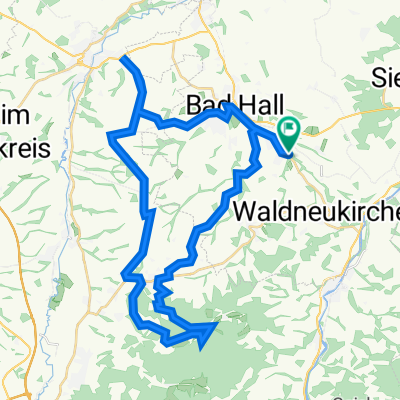
Overview
About this route
(R8) Sommerhuber Mühle - Grünburg - bis zur Pyrnpass Straße.
(R10) Micheldorf - Kirchdorf - Schlierbach - Kremsmünster.
(K) Gusterberg - Pfarrkirchen - Bad Hall
(R12) Mühlgrub - Steinersdorf - Sommerhuber Mühle
Ausgangspunkt: Zughaltestelle Sommerhuber Mühle
Strecke: Bis zur Pyrnpass Straße verlaüft der R8 teils auf der alten Bahntrasse.
Laut Komoot: 1,5km loser & 1,5km unbekannter Untergrund. Sollte also fürs RR ab 25'er Reifen mit 6,5-7 Bar kein Problem sein!
- -:--
- Duration
- 75.2 km
- Distance
- 457 m
- Ascent
- 457 m
- Descent
- ---
- Avg. speed
- ---
- Avg. speed

Route quality
Waytypes & surfaces along the route
Waytypes
Quiet road
36.6 km
(49 %)
Cycleway
16.6 km
(22 %)
Surfaces
Paved
24.8 km
(33 %)
Unpaved
2.2 km
(3 %)
Asphalt
17.3 km
(23 %)
Paved (undefined)
7.4 km
(10 %)
Continue with Bikemap
Use, edit, or download this cycling route
You would like to ride Steyrtal Runde or customize it for your own trip? Here is what you can do with this Bikemap route:
Free features
- Save this route as favorite or in collections
- Copy & plan your own version of this route
- Sync your route with Garmin or Wahoo
Premium features
Free trial for 3 days, or one-time payment. More about Bikemap Premium.
- Navigate this route on iOS & Android
- Export a GPX / KML file of this route
- Create your custom printout (try it for free)
- Download this route for offline navigation
Discover more Premium features.
Get Bikemap PremiumFrom our community
Other popular routes starting in Waldneukirchen
 Waldneukirchen - Sierning (Ortszentren, Umgehung von Hauptverkehrsstraßen)
- Distance
- 7.6 km
- Ascent
- 43 m
- Descent
- 120 m
- Location
- Waldneukirchen, Upper Austria, Austria
 Etappe9
- Distance
- 21.6 km
- Ascent
- 159 m
- Descent
- 266 m
- Location
- Waldneukirchen, Upper Austria, Austria
 2023_11_04_Bad Haller-Auf´s Weiss´n
- Distance
- 44 km
- Ascent
- 742 m
- Descent
- 741 m
- Location
- Waldneukirchen, Upper Austria, Austria
 2023_10_21_Bad Haller-Tassilorunde
- Distance
- 52.8 km
- Ascent
- 616 m
- Descent
- 616 m
- Location
- Waldneukirchen, Upper Austria, Austria
 Waldneukirchen - Aschach an der Steyr (Ortszentren, Umgehung von Hauptverkehrsstraßen)
- Distance
- 8.9 km
- Ascent
- 131 m
- Descent
- 143 m
- Location
- Waldneukirchen, Upper Austria, Austria
 Waldneukirchen - Salzburg - Waldneukirchen
- Distance
- 245 km
- Ascent
- 1,078 m
- Descent
- 1,078 m
- Location
- Waldneukirchen, Upper Austria, Austria
 Von Laichberger nach St. Nikola über Ramsau
- Distance
- 48.4 km
- Ascent
- 740 m
- Descent
- 739 m
- Location
- Waldneukirchen, Upper Austria, Austria
 Grünburg Trattenbach Grünburgerhütte
- Distance
- 55.9 km
- Ascent
- 1,536 m
- Descent
- 1,536 m
- Location
- Waldneukirchen, Upper Austria, Austria
Open it in the app