Premium Badge Download on the App Store Get it on Google Play Turn-by-turn Navigation Offline Maps Bike Type Optimized Routing Premium Maps Custom Bike Computer Export Routes Route Previews Fall Detection Premium Support

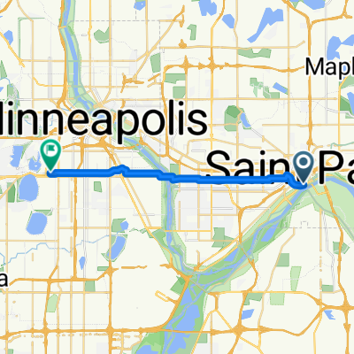
Cycling Route in Saint Paul, Minnesota, United States of America

B2B00294 55102>55344viaSummit/Miss/FordBridge/MhahaPkwy/54th/66thSt/ValleyVwRd

0
Open this route in the Bikemap app

Open this route in the Bikemap app

Open this route in Bikemap Web

Open this route in Bikemap Web

29 km
Distance
149 m
Ascent
165 m
Descent
-:-- h
Duration
-- km/h
Avg. Speed
291 m
Max. Elevation

About This Route

Take Summit Avenue west to Mississippi River Blvd. Turn left and go south to the Ford Bridge.

Cross the Ford Bridge and turn left at 46th St. to Godfrey Rd. Turn right and continue through Minnehaha Park around the round-about to E. M'haha Pkwy. Take M'haha Pkwy. either on the paths or in the road to Lyndale Avenue. Turn left on Lyndale and go to W. 54th Street. Take W. 54th to Xerxes and turn left on Xerxes. Follow Xerxes south to W. 66th Street. Turn right at 66th Street and continue west past Southdale and on past Lake Cornelia. Turn right at Ridgeview Drive. Keep to the left and turn at Valley Lane. Follow Valley Lane to Valley View Road. Trun left at Valley View Rd. Take Valley View past Edina High School and continue down through Indian Hills. The road curves around to the right until you reach McCauley Trail. Turn left at McCauley where it again becomes Valley View Road. Turn right and continue on Valley View as it becomes Golden Triangle Drive. Turn left at W. 76th Street and your destination.

This cycling route is ideal for: City bike

You will cycle on the following surfaces: Paved

Customize this cycling route with the Bikemap route planner.

Make it yours!

Did you know? You can use this route as a template in our cycling route planner if you don't wish to start from scratch. Customize it based on your needs to plan your perfect cycling tour.

Open it in the app