

Sapporo - Hell Valley - Hakodate
A cycling route starting in Sapporo, Hokkaido, Japan.
Overview
About this route
Sapporo
Lake Shikotsu
Hell valley
Lake Toya
Hakodate
- -:--
- Duration
- 333 km
- Distance
- 1,754 m
- Ascent
- 1,775 m
- Descent
- ---
- Avg. speed
- ---
- Avg. speed

Continue with Bikemap
Use, edit, or download this cycling route
You would like to ride Sapporo - Hell Valley - Hakodate or customize it for your own trip? Here is what you can do with this Bikemap route:
Free features
- Save this route as favorite or in collections
- Copy & plan your own version of this route
- Sync your route with Garmin or Wahoo
Premium features
Free trial for 3 days, or one-time payment. More about Bikemap Premium.
- Navigate this route on iOS & Android
- Export a GPX / KML file of this route
- Create your custom printout (try it for free)
- Download this route for offline navigation
Discover more Premium features.
Get Bikemap PremiumFrom our community
Other popular routes starting in Sapporo
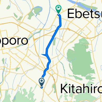
 3-chōme 1, Sapporo to 2-chōme 12, Otaru
- Distance
- 36.1 km
- Ascent
- 248 m
- Descent
- 220 m
- Location
- Sapporo, Hokkaido, Japan
 toyohira towards the sea
- Distance
- 29.7 km
- Ascent
- 43 m
- Descent
- 57 m
- Location
- Sapporo, Hokkaido, Japan
 7丁目 2, 札幌市 まで7丁目 2, 札幌市
- Distance
- 20.8 km
- Ascent
- 92 m
- Descent
- 124 m
- Location
- Sapporo, Hokkaido, Japan
 Hokkido trip
- Distance
- 529.9 km
- Ascent
- 2,618 m
- Descent
- 2,617 m
- Location
- Sapporo, Hokkaido, Japan
 ripple
- Distance
- 86.7 km
- Ascent
- 240 m
- Descent
- 246 m
- Location
- Sapporo, Hokkaido, Japan
 Hokkaido
- Distance
- 2,125.8 km
- Ascent
- 1,636 m
- Descent
- 1,632 m
- Location
- Sapporo, Hokkaido, Japan
 Sapporo to Abashiri
- Distance
- 696.2 km
- Ascent
- 1,066 m
- Descent
- 1,091 m
- Location
- Sapporo, Hokkaido, Japan
 atsubetsu river
- Distance
- 14.5 km
- Ascent
- 0 m
- Descent
- 33 m
- Location
- Sapporo, Hokkaido, Japan
Open it in the app