

Wkra Wkre mija
A cycling route starting in Żyrardów, Masovian Voivodeship, Poland.
Overview
About this route
- -:--
- Duration
- 167.5 km
- Distance
- 175 m
- Ascent
- 167 m
- Descent
- ---
- Avg. speed
- ---
- Avg. speed
Route highlights
Points of interest along the route
Accommodation after 114.1 km
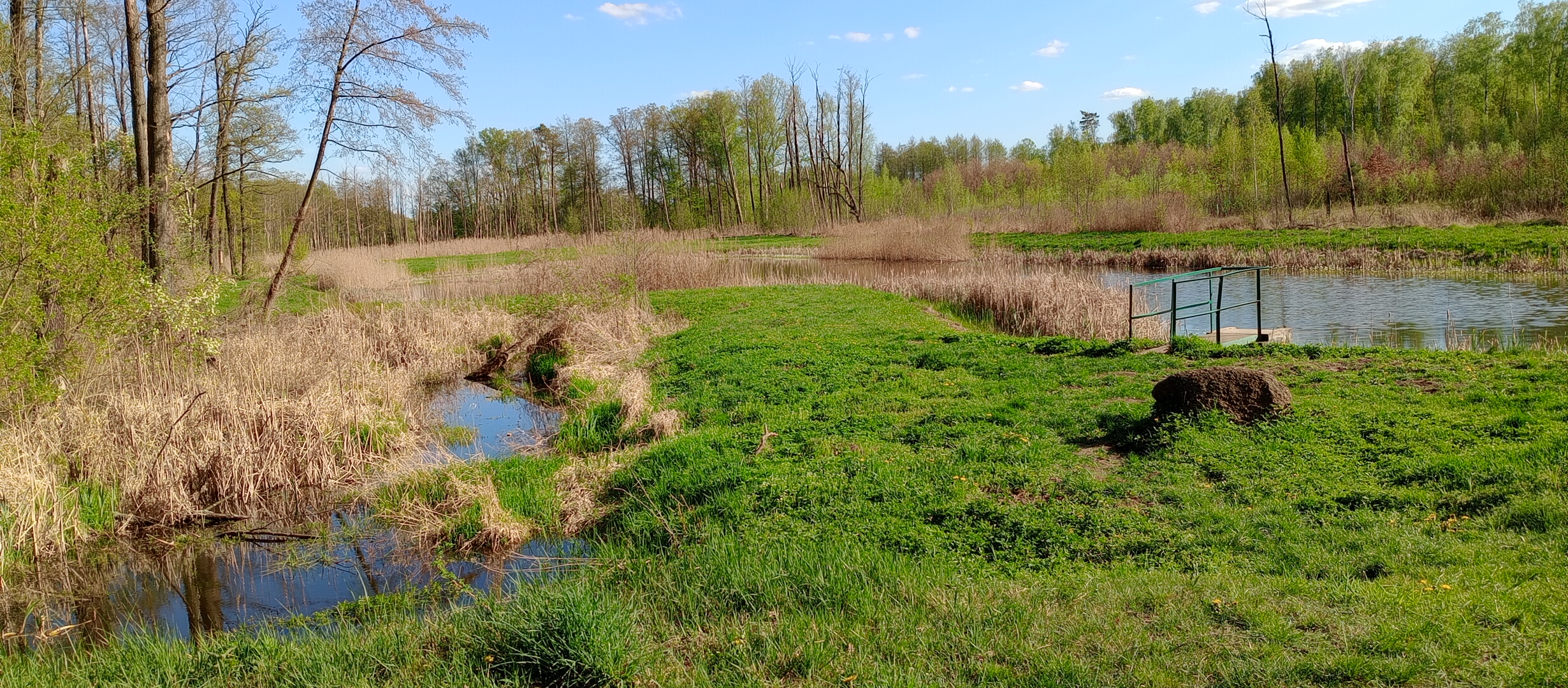
Nocleg w krzakach i grzybach
Continue with Bikemap
Use, edit, or download this cycling route
You would like to ride Wkra Wkre mija or customize it for your own trip? Here is what you can do with this Bikemap route:
Free features
- Save this route as favorite or in collections
- Copy & plan your own version of this route
- Sync your route with Garmin or Wahoo
Premium features
Free trial for 3 days, or one-time payment. More about Bikemap Premium.
- Navigate this route on iOS & Android
- Export a GPX / KML file of this route
- Create your custom printout (try it for free)
- Download this route for offline navigation
Discover more Premium features.
Get Bikemap PremiumFrom our community
Other popular routes starting in Żyrardów
 Bike VI
- Distance
- 57.8 km
- Ascent
- 53 m
- Descent
- 55 m
- Location
- Żyrardów, Masovian Voivodeship, Poland
 Wokół Żyrardowa
- Distance
- 74.8 km
- Ascent
- 54 m
- Descent
- 61 m
- Location
- Żyrardów, Masovian Voivodeship, Poland
 11 Listopada 15, Żyrardów do 11 Listopada 18, Żyrardów
- Distance
- 27.1 km
- Ascent
- 214 m
- Descent
- 241 m
- Location
- Żyrardów, Masovian Voivodeship, Poland
 Piastowska 15, Żyrardów do 11 Listopada 18, Żyrardów
- Distance
- 6.4 km
- Ascent
- 63 m
- Descent
- 84 m
- Location
- Żyrardów, Masovian Voivodeship, Poland
 Okolice Żyrardowwa
- Distance
- 53.3 km
- Ascent
- 106 m
- Descent
- 108 m
- Location
- Żyrardów, Masovian Voivodeship, Poland
 Szczecińska 12, Żyrardów do Szczecińska 12A, Żyrardów
- Distance
- 40.2 km
- Ascent
- 160 m
- Descent
- 158 m
- Location
- Żyrardów, Masovian Voivodeship, Poland
 Żyrardów traska 2 (z neta)
- Distance
- 85.4 km
- Ascent
- 134 m
- Descent
- 133 m
- Location
- Żyrardów, Masovian Voivodeship, Poland
 Żyrardów + Grodzisk Mazowiecki
- Distance
- 28.3 km
- Ascent
- 16 m
- Descent
- 31 m
- Location
- Żyrardów, Masovian Voivodeship, Poland
Open it in the app