

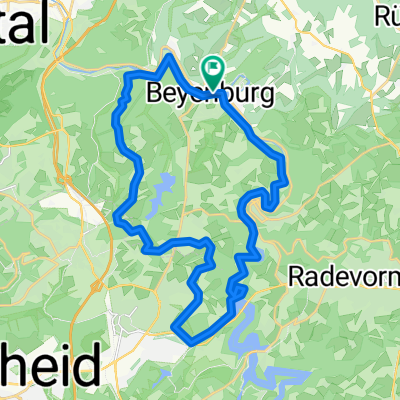
Langerfeld - Beyenburg "Beyenburger Stausee" und retour
A cycling route starting in Schwelm, North Rhine-Westphalia, Germany.
Overview
About this route
1ste Runde mit neuem Rad
um überhaupt mal wieder ins fahren herein zu kommen und ein wenig Kondition aufzubauen, eine relativ flache Strecke.
Am Anfang lässt es sich durch W-Langerfeld nicht unbedingt vermeiden direkt auf der Straße zu fahren. Allerdings, vorausgesetzt man hat ein wenig Ortskenntnis, läßt sich die Hauptstraße vermeiden.
*Kleines Teilstück Unbefestigter Weg, der Rest überwiegend Asphalt.
*ca. 80-85% Radweg
*für Einsteiger, Familie mit Kind(er), geeignet
*Wochenends, viel Betrieb
- -:--
- Duration
- 21 km
- Distance
- 275 m
- Ascent
- 304 m
- Descent
- ---
- Avg. speed
- 277 m
- Avg. speed

Route quality
Waytypes & surfaces along the route
Waytypes
Busy road
8.3 km
(40 %)
Quiet road
6.5 km
(31 %)
Surfaces
Paved
19.4 km
(92 %)
Unpaved
1.3 km
(6 %)
Asphalt
18.8 km
(89 %)
Gravel
1 km
(5 %)
Route highlights
Points of interest along the route
Point of interest after 0.9 km
Mittlerweile steht an diesem Ort eine städtische Grundschule. (Umzug der "Fritz-Harkot-Schule-Schule", "In der Fleute")
Point of interest after 2.5 km
Ab hier von der Straße auf den Radweg. Im Sommer sind hier mitunter viele Radfahrer sowie Inliner unterwegs.
Point of interest after 6.4 km
An der Tennishalle rechts abbiegen
Point of interest after 6.6 km
An der Weggabelung links, die direkt im Anschluss kommende ebenfalls links. Ab hier endet in Richtung Beyenburg der asphaltierte Teil.
Point of interest after 7 km
In diesem Bereich nicht ewig verweilen! So interpretiere ich zumindest das (beschossene) Schild. Rechts Oberhalb, befindet sich eine Mülldeponie.
Point of interest after 7.5 km
Asphalt in Richtung Beyenburg.
Point of interest after 9.2 km
Lust auf ein Eis? Im Sommer, recht gut besucht.
Point of interest after 9.7 km
Beyenburger Stausee
Continue with Bikemap
Use, edit, or download this cycling route
You would like to ride Langerfeld - Beyenburg "Beyenburger Stausee" und retour or customize it for your own trip? Here is what you can do with this Bikemap route:
Free features
- Save this route as favorite or in collections
- Copy & plan your own version of this route
- Sync your route with Garmin or Wahoo
Premium features
Free trial for 3 days, or one-time payment. More about Bikemap Premium.
- Navigate this route on iOS & Android
- Export a GPX / KML file of this route
- Create your custom printout (try it for free)
- Download this route for offline navigation
Discover more Premium features.
Get Bikemap PremiumFrom our community
Other popular routes starting in Schwelm
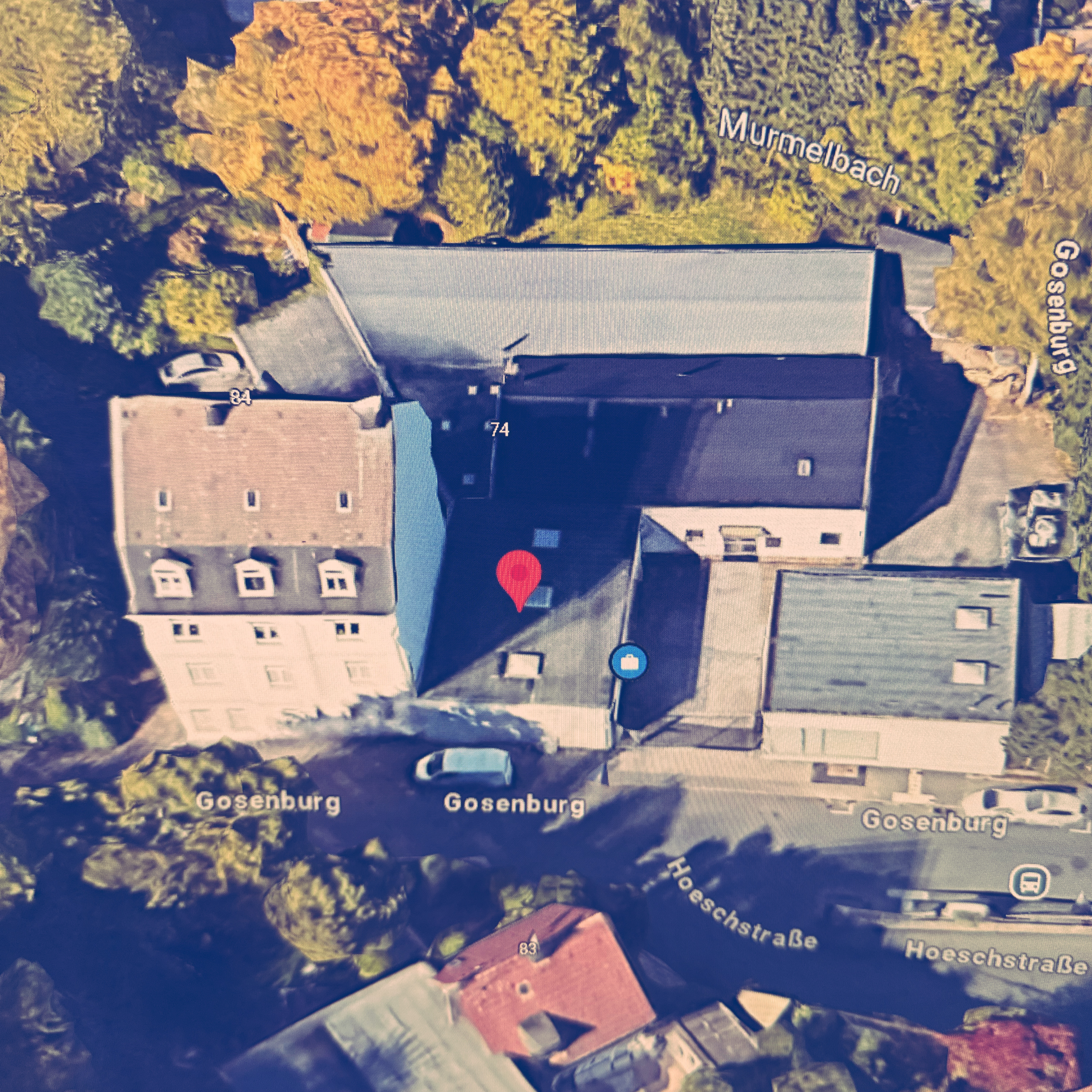 Henkelsstraße, Wuppertal nach Gosenburg, Wuppertal
- Distance
- 3.1 km
- Ascent
- 38 m
- Descent
- 57 m
- Location
- Schwelm, North Rhine-Westphalia, Germany
 Schwelm,Königsfeld,Beyenburg,Langerfeld
- Distance
- 24.9 km
- Ascent
- 277 m
- Descent
- 277 m
- Location
- Schwelm, North Rhine-Westphalia, Germany
 Trainingsstrecke 2
- Distance
- 42.4 km
- Ascent
- 383 m
- Descent
- 383 m
- Location
- Schwelm, North Rhine-Westphalia, Germany
 Baldeneysee über Dönberg
- Distance
- 66.9 km
- Ascent
- 989 m
- Descent
- 987 m
- Location
- Schwelm, North Rhine-Westphalia, Germany
 Rundweg2 Mufflon-Wildgehege
- Distance
- 1.7 km
- Ascent
- 54 m
- Descent
- 57 m
- Location
- Schwelm, North Rhine-Westphalia, Germany
 Rundtour Bergischer Panoramaweg, Start in Schwelm
- Distance
- 73.6 km
- Ascent
- 452 m
- Descent
- 455 m
- Location
- Schwelm, North Rhine-Westphalia, Germany
 Werktagsrunde
- Distance
- 47.6 km
- Ascent
- 639 m
- Descent
- 623 m
- Location
- Schwelm, North Rhine-Westphalia, Germany
 Standardrunde von Frank und Frank
- Distance
- 27.5 km
- Ascent
- 531 m
- Descent
- 515 m
- Location
- Schwelm, North Rhine-Westphalia, Germany
Open it in the app