Wandern/ Klettersteig Brünnstein
A cycling route starting in Oberaudorf, Bavaria, Germany.
Overview
About this route
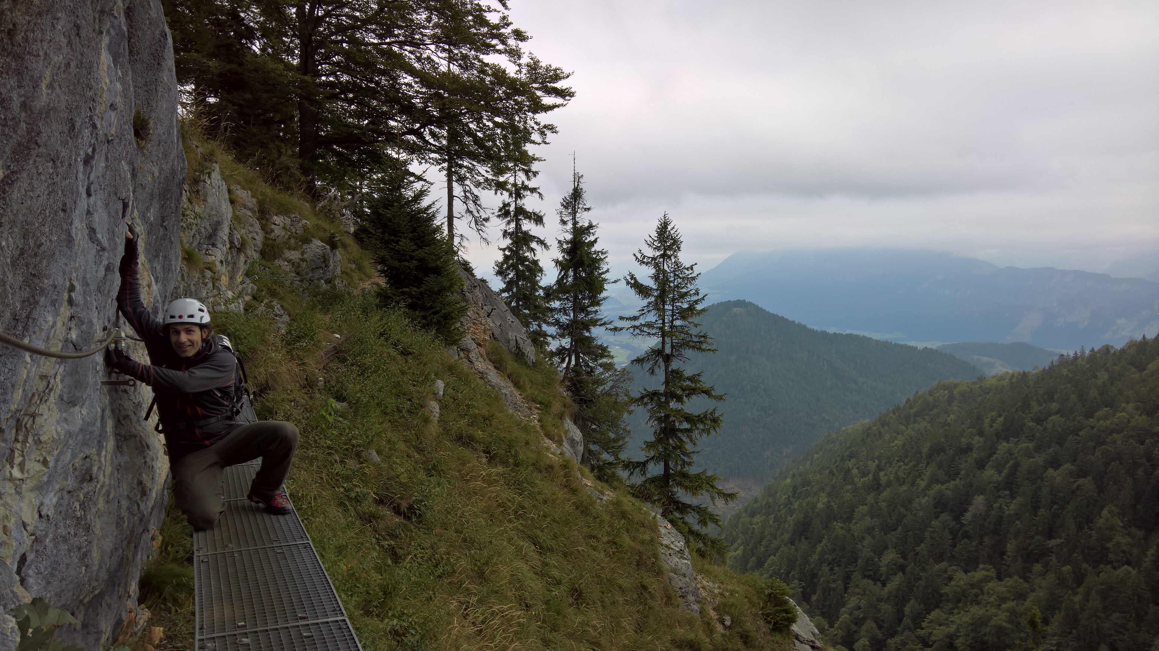
...Wandertour mit kurzen Klettersteig zum Üben. Startpunkt ist eine Bienenhaus vom Bauer, hier zwei Euro für Parkplatz einwerfen und Ende wieder in Buchau, hier wurden wir nach der Tour mit einem Ofenfrischen Schweinsbraten für unsere Mühen belohnt:-) Viel Spass beim Wandern. Euer Martin
- -:--
- Duration
- 10.4 km
- Distance
- 895 m
- Ascent
- 892 m
- Descent
- ---
- Avg. speed
- ---
- Avg. speed
Route highlights
Points of interest along the route

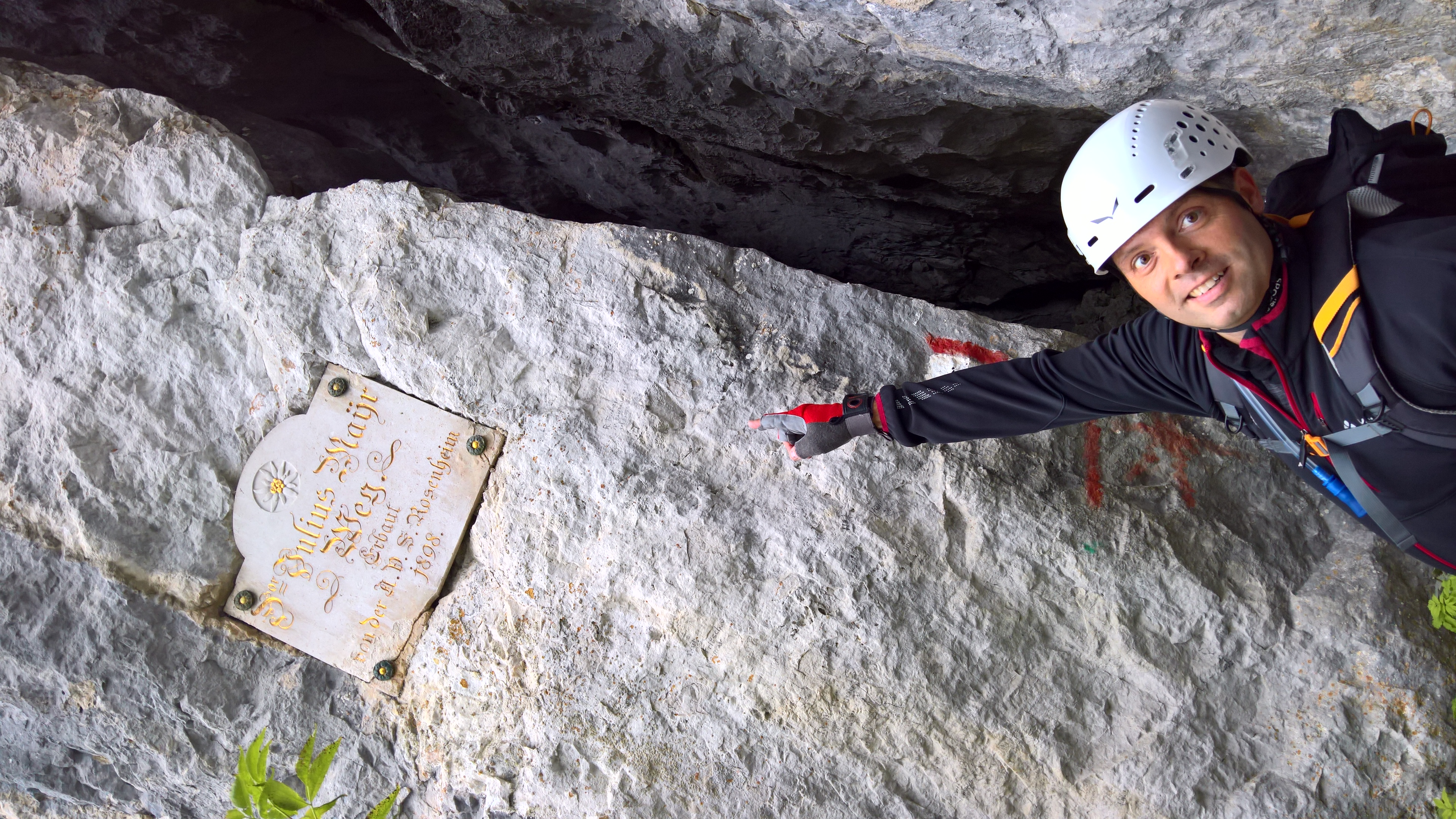
Photo after 3.2 km

Photo after 3.4 km
Gipfel

Drinking water after 4.4 km
...Hütte und Biergarten

Photo after 4.8 km
Continue with Bikemap
Use, edit, or download this cycling route
You would like to ride Wandern/ Klettersteig Brünnstein or customize it for your own trip? Here is what you can do with this Bikemap route:
Free features
- Save this route as favorite or in collections
- Copy & plan your own version of this route
- Sync your route with Garmin or Wahoo
Premium features
Free trial for 3 days, or one-time payment. More about Bikemap Premium.
- Navigate this route on iOS & Android
- Export a GPX / KML file of this route
- Create your custom printout (try it for free)
- Download this route for offline navigation
Discover more Premium features.
Get Bikemap PremiumFrom our community
Other popular routes starting in Oberaudorf
 Abendsonne zum Schluss
- Distance
- 29.8 km
- Ascent
- 329 m
- Descent
- 327 m
- Location
- Oberaudorf, Bavaria, Germany
 MTB Kids & Family Tatzelwurm
- Distance
- 30.9 km
- Ascent
- 1,065 m
- Descent
- 1,046 m
- Location
- Oberaudorf, Bavaria, Germany
 Erl-Trockenbachtal-Goglalm-Erl
- Distance
- 22 km
- Ascent
- 895 m
- Descent
- 896 m
- Location
- Oberaudorf, Bavaria, Germany
 Durch das Inntal und aufs Hocheck
- Distance
- 14.4 km
- Ascent
- 486 m
- Descent
- 486 m
- Location
- Oberaudorf, Bavaria, Germany
 Oberaudorf Tatzelwurm Bichler See
- Distance
- 24.6 km
- Ascent
- 773 m
- Descent
- 773 m
- Location
- Oberaudorf, Bavaria, Germany
 Sudelfeld
- Distance
- 19.2 km
- Ascent
- 1,064 m
- Descent
- 133 m
- Location
- Oberaudorf, Bavaria, Germany
 Oberaudorf-Mitterberg
- Distance
- 27.8 km
- Ascent
- 832 m
- Descent
- 835 m
- Location
- Oberaudorf, Bavaria, Germany
 Fahrt zur Kranzhornalm
- Distance
- 12.7 km
- Ascent
- 784 m
- Descent
- 38 m
- Location
- Oberaudorf, Bavaria, Germany
Open it in the app


