Premium Badge Download on the App Store Get it on Google Play Turn-by-turn Navigation Offline Maps Bike Type Optimized Routing Premium Maps Custom Bike Computer Export Routes Route Previews Fall Detection Premium Support

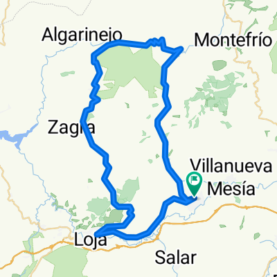
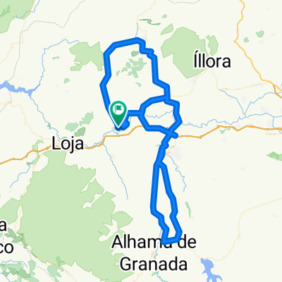
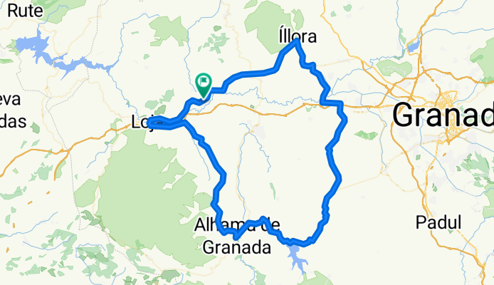
Cycling Route in Huétor-Tájar, Andalusia, Spain

SALIDA 17 JUNIO 2018

0
Open this route in the Bikemap app

Open this route in the Bikemap app

Open this route in Bikemap Web

Open this route in Bikemap Web

125 km
Distance
1283 m
Ascent
1282 m
Descent
-:-- h
Duration
-- km/h
Avg. Speed
--- m
Max. Elevation

About This Route

HUETOR TAJAR - LOJA - SALAR - ALTO DE LA GALLINA - ALHAMA DE GRANADA - ALTO LOS BERMEJALES (AV) - PANTANO LOS BERMEJALES - ALTO EL LUCERO - AGRÓN - VENTAS HUELMA - CHIMENEAS - CIJUELA - LACHAR - ESCOZNAR -OBEILAR -  ILLORA - TOCÓN (REAGRUPAMIENTO) - HUETOR TAJAR 

Customize this cycling route with the Bikemap route planner.

Make it yours!

Did you know? You can use this route as a template in our cycling route planner if you don't wish to start from scratch. Customize it based on your needs to plan your perfect cycling tour.

Open it in the app