

MTB Slavnik, 81 km
A cycling route starting in Kozina, Hrpelje-Kozina, Slovenia.
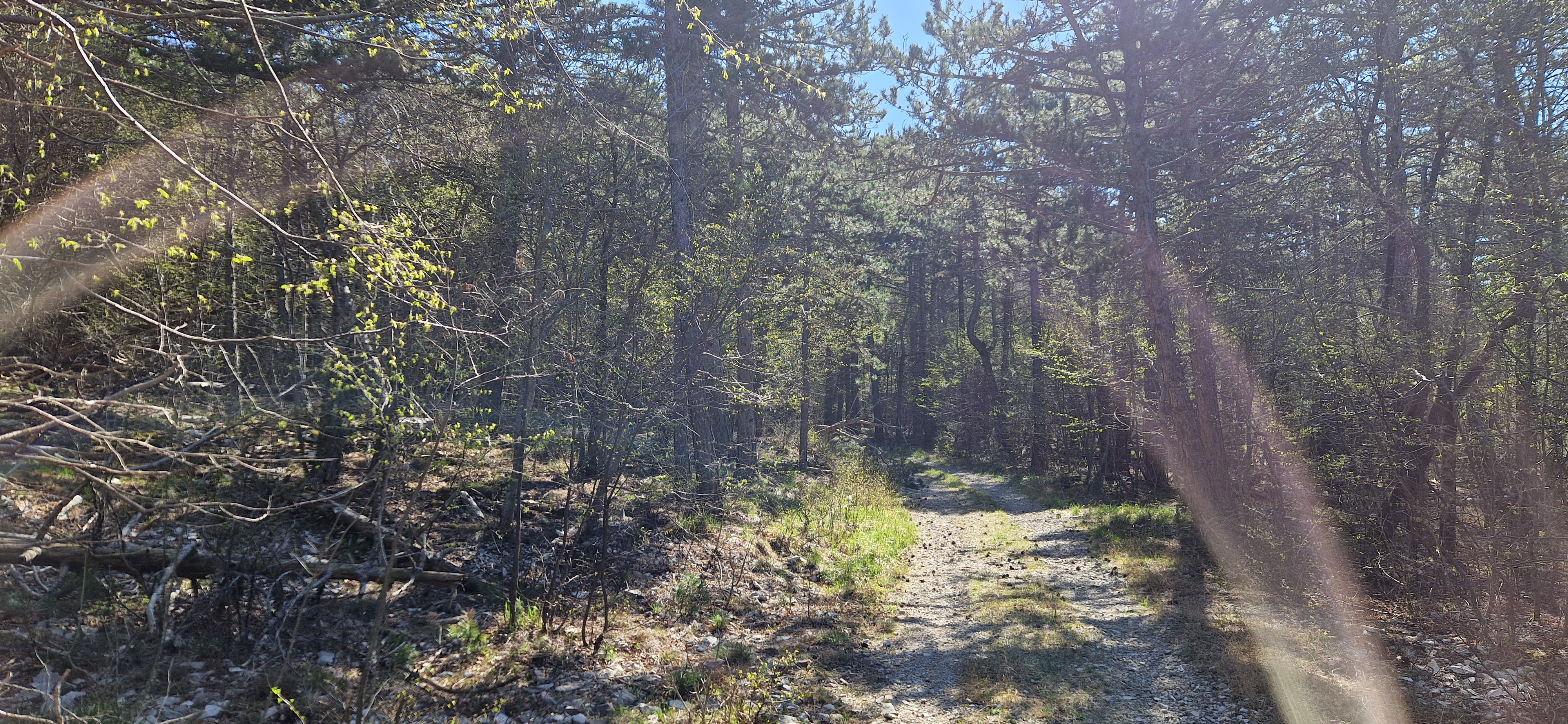
Overview
About this route
Prava izbira za najbolj pripravljene kolesarje, ki si želijo zahtevne MTB tekme. / | Best choice for the most prepared cyclists, which wants to compete in most challenging MTB race /
- -:--
- Duration
- 81.4 km
- Distance
- 1,460 m
- Ascent
- 1,459 m
- Descent
- ---
- Avg. speed
- ---
- Avg. speed
Route highlights
Points of interest along the route

Drinking water after 17.2 km
FEED ZONE

Drinking water after 19.6 km
WATER STATION

Drinking water after 34.4 km
FEED ZONE

Drinking water after 61.4 km
FEED ZONE
Continue with Bikemap
Use, edit, or download this cycling route
You would like to ride MTB Slavnik, 81 km or customize it for your own trip? Here is what you can do with this Bikemap route:
Free features
- Save this route as favorite or in collections
- Copy & plan your own version of this route
- Sync your route with Garmin or Wahoo
Premium features
Free trial for 3 days, or one-time payment. More about Bikemap Premium.
- Navigate this route on iOS & Android
- Export a GPX / KML file of this route
- Create your custom printout (try it for free)
- Download this route for offline navigation
Discover more Premium features.
Get Bikemap PremiumFrom our community
Other popular routes starting in Kozina
 kozina 2023-04-27 speljan
- Distance
- 24.9 km
- Ascent
- 689 m
- Descent
- 690 m
- Location
- Kozina, Hrpelje-Kozina, Slovenia
 Hrpelje-Slavnik-Podgorje-Podpec-Crnotice-ob progi-Presnica-Hreplje
- Distance
- 35.3 km
- Ascent
- 892 m
- Descent
- 893 m
- Location
- Kozina, Hrpelje-Kozina, Slovenia
 Kozina Cycling
- Distance
- 38.1 km
- Ascent
- 926 m
- Descent
- 925 m
- Location
- Kozina, Hrpelje-Kozina, Slovenia
 Kozina-Socerb-Glinscica
- Distance
- 31.5 km
- Ascent
- 512 m
- Descent
- 512 m
- Location
- Kozina, Hrpelje-Kozina, Slovenia
 slavnik
- Distance
- 27.2 km
- Ascent
- 661 m
- Descent
- 677 m
- Location
- Kozina, Hrpelje-Kozina, Slovenia
 Slavnik
- Distance
- 20.9 km
- Ascent
- 598 m
- Descent
- 598 m
- Location
- Kozina, Hrpelje-Kozina, Slovenia
 No borders
- Distance
- 38.3 km
- Ascent
- 877 m
- Descent
- 876 m
- Location
- Kozina, Hrpelje-Kozina, Slovenia
 Hrpelje Kozina-Rimini v dveh etapah
- Distance
- 362.9 km
- Ascent
- 160 m
- Descent
- 653 m
- Location
- Kozina, Hrpelje-Kozina, Slovenia
Open it in the app