

Eisenach: Von der Nesse zur Werra
A cycling route starting in Eisenach, Free State of Thuringia, Germany.
Overview
About this route
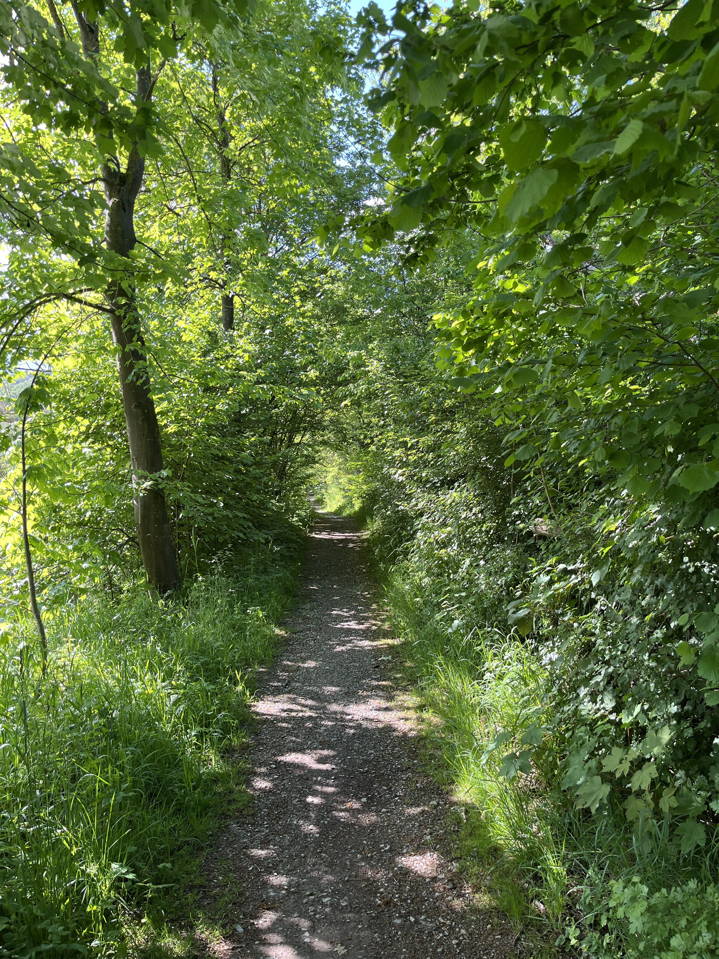
Von Eisenach geht es in mehreren Anstiegen durch mehrere Dörfer nach Ütteroda. Von da an auf schmaler Straße nach Creuzburg und durchs Werratal zurück. Attraktionen: Schöne Ausblicke auf Wartburg Haimich und Inselsberg. Liboriuskapelle und alte Werrabrücke in Creuzburg. Biohof Wilhelmsglücksbrunn mit alten Rinderrassen und Wasserbüffeln.
Gefahren: 500 m Landstraße hinter Neukirchen bei starkem Verkehr (leider gibt es immer noch keinen Radweg!), schmale und kurvige Landstraße hinter Ütteroda, auf Gegenverkehr achten!
Oberfläche: Bis auf 300 m hinter der Liboriuskapelle und den Weg hinter Hörschel durchgehend asphaltiert. Beide Stücke können durch benachbarte Straßen umfahren werden.
- -:--
- Duration
- 34.7 km
- Distance
- 231 m
- Ascent
- 228 m
- Descent
- ---
- Avg. speed
- ---
- Avg. speed
Route quality
Waytypes & surfaces along the route
Waytypes
Quiet road
14.1 km
(41 %)
Access road
9 km
(26 %)
Surfaces
Paved
21.2 km
(61 %)
Unpaved
1.6 km
(5 %)
Asphalt
19 km
(55 %)
Paved (undefined)
1.5 km
(4 %)
Continue with Bikemap
Use, edit, or download this cycling route
You would like to ride Eisenach: Von der Nesse zur Werra or customize it for your own trip? Here is what you can do with this Bikemap route:
Free features
- Save this route as favorite or in collections
- Copy & plan your own version of this route
- Sync your route with Garmin or Wahoo
Premium features
Free trial for 3 days, or one-time payment. More about Bikemap Premium.
- Navigate this route on iOS & Android
- Export a GPX / KML file of this route
- Create your custom printout (try it for free)
- Download this route for offline navigation
Discover more Premium features.
Get Bikemap PremiumFrom our community
Other popular routes starting in Eisenach
 Goethestraße, Eisenach nach Planstraße, Amt Creuzburg
- Distance
- 26.1 km
- Ascent
- 394 m
- Descent
- 431 m
- Location
- Eisenach, Free State of Thuringia, Germany
 Rund um den Hainich_t
- Distance
- 116.4 km
- Ascent
- 1,237 m
- Descent
- 1,239 m
- Location
- Eisenach, Free State of Thuringia, Germany
 07.Wer.Eisen.-Philipst.
- Distance
- 195.8 km
- Ascent
- 2,079 m
- Descent
- 1,479 m
- Location
- Eisenach, Free State of Thuringia, Germany
 Trailschaukel Eisenach
- Distance
- 35.8 km
- Ascent
- 923 m
- Descent
- 923 m
- Location
- Eisenach, Free State of Thuringia, Germany
 Katharinenstraße nach Tugendpfad
- Distance
- 2.7 km
- Ascent
- 192 m
- Descent
- 36 m
- Location
- Eisenach, Free State of Thuringia, Germany
 Wilhelm-Pieck-Straße 18, Eisenach nach Wilhelm-Pieck-Straße 16, Eisenach
- Distance
- 15.7 km
- Ascent
- 228 m
- Descent
- 222 m
- Location
- Eisenach, Free State of Thuringia, Germany
 Westroute Thüringer Wald
- Distance
- 96 km
- Ascent
- 1,150 m
- Descent
- 1,150 m
- Location
- Eisenach, Free State of Thuringia, Germany
 kurze Tour
- Distance
- 17.3 km
- Ascent
- 213 m
- Descent
- 205 m
- Location
- Eisenach, Free State of Thuringia, Germany
Open it in the app