Premium Badge Download on the App Store Get it on Google Play Turn-by-turn Navigation Offline Maps Bike Type Optimized Routing Premium Maps Custom Bike Computer Export Routes Route Previews Fall Detection Premium Support

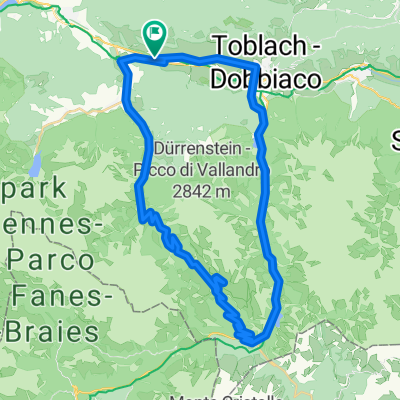
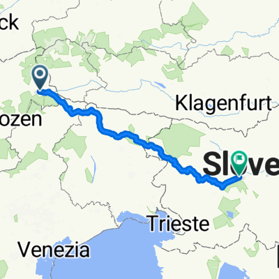
Cycling Route in Niederdorf, Trentino-Alto Adige, Italy

Giro dell'Alto Adige Südtirol 2018 - stage 1

0
Open this route in the Bikemap app

Open this route in the Bikemap app

Open this route in Bikemap Web

Open this route in Bikemap Web

126 km
Distance
2258 m
Ascent
2607 m
Descent
-:-- h
Duration
-- km/h
Avg. Speed
--- m
Max. Elevation

About This Route

Dobbiaco - Carbonin - Cimabanche - Fiames - Cortina d'Ampezzo - Pocol - Passo di Giau - Codalonga - Colle Santa Lucia - SP 251 - Passo di Falzarego - Passo di Valparola - La Villa - Pedraces - San Martino in Badia - San Lorenzo - Brunico

Passo di Cimabanche (1530 m)

Passo di Giau (2236 m)

Passo di Falzarego (2105 m)

Passo di Valparola (2192 m)


Customize this cycling route with the Bikemap route planner.

Make it yours!

Did you know? You can use this route as a template in our cycling route planner if you don't wish to start from scratch. Customize it based on your needs to plan your perfect cycling tour.

Open it in the app