
Ruta1 TZ-Kamenolom-GPodstrana (Izmjena)
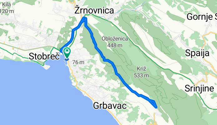
A cycling route starting in Stobreč, Splitsko-Dalmatinska Županija, Croatia.
Overview
About this route
Ruta1
- -:--
- Duration
- 15.9 km
- Distance
- 406 m
- Ascent
- 406 m
- Descent
- ---
- Avg. speed
- ---
- Avg. speed

Route quality
Waytypes & surfaces along the route
Waytypes
Track
8.4 km
(53 %)
Path
2.4 km
(15 %)
Surfaces
Paved
2.4 km
(15 %)
Unpaved
8.1 km
(51 %)
Gravel
8 km
(50 %)
Asphalt
1.8 km
(12 %)
Route highlights
Points of interest along the route
Point of interest after 0.4 km
posebni putokaz prelaz preko D8
Point of interest after 2.4 km
Putokaz 3
Point of interest after 5.6 km
putokaz 5 i 8
Point of interest after 7 km
putokaz 7
Point of interest after 8 km
tabla
Point of interest after 8 km
putokaz 6
Point of interest after 10.9 km
putokaz 9
Point of interest after 13.5 km
putokaz4 i 10
Point of interest after 13.6 km
putokaz 2
Point of interest after 15.4 km
putokaz1 i 10
Continue with Bikemap
Use, edit, or download this cycling route
You would like to ride Ruta1 TZ-Kamenolom-GPodstrana (Izmjena) or customize it for your own trip? Here is what you can do with this Bikemap route:
Free features
- Save this route as favorite or in collections
- Copy & plan your own version of this route
- Sync your route with Garmin or Wahoo
Premium features
Free trial for 3 days, or one-time payment. More about Bikemap Premium.
- Navigate this route on iOS & Android
- Export a GPX / KML file of this route
- Create your custom printout (try it for free)
- Download this route for offline navigation
Discover more Premium features.
Get Bikemap PremiumFrom our community
Other popular routes starting in Stobreč
 Podstrana C1
- Distance
- 97.1 km
- Ascent
- 2,793 m
- Descent
- 2,793 m
- Location
- Stobreč, Splitsko-Dalmatinska Županija, Croatia
 Stobrec-Srinjine-Zakucac-(ruta coasta-Dug Rat-Mali Rat-Stobrec)
- Distance
- 40.7 km
- Ascent
- 383 m
- Descent
- 375 m
- Location
- Stobreč, Splitsko-Dalmatinska Županija, Croatia
 Brdasca
- Distance
- 100.4 km
- Ascent
- 1,549 m
- Descent
- 1,549 m
- Location
- Stobreč, Splitsko-Dalmatinska Županija, Croatia
 Stobreć-Omiš-Podašpilje-Svinišće-Kučići-Kostanje-Gata-Žrnovnica-Stobreć
- Distance
- 74.2 km
- Ascent
- 710 m
- Descent
- 710 m
- Location
- Stobreč, Splitsko-Dalmatinska Županija, Croatia
 Stobreč Cycling
- Distance
- 55.6 km
- Ascent
- 468 m
- Descent
- 315 m
- Location
- Stobreč, Splitsko-Dalmatinska Županija, Croatia
 Bozicna
- Distance
- 99.2 km
- Ascent
- 1,008 m
- Descent
- 1,008 m
- Location
- Stobreč, Splitsko-Dalmatinska Županija, Croatia
 Podstrana-Split (Marjan hill) route
- Distance
- 25.2 km
- Ascent
- 193 m
- Descent
- 218 m
- Location
- Stobreč, Splitsko-Dalmatinska Županija, Croatia
 Vrulja
- Distance
- 86 km
- Ascent
- 686 m
- Descent
- 686 m
- Location
- Stobreč, Splitsko-Dalmatinska Županija, Croatia
Open it in the app