

Grandcamp-Maisy - St.Vaast- 76km 5h
A cycling route starting in Grandcamp-Maisy, Normandy, France.
Overview
About this route
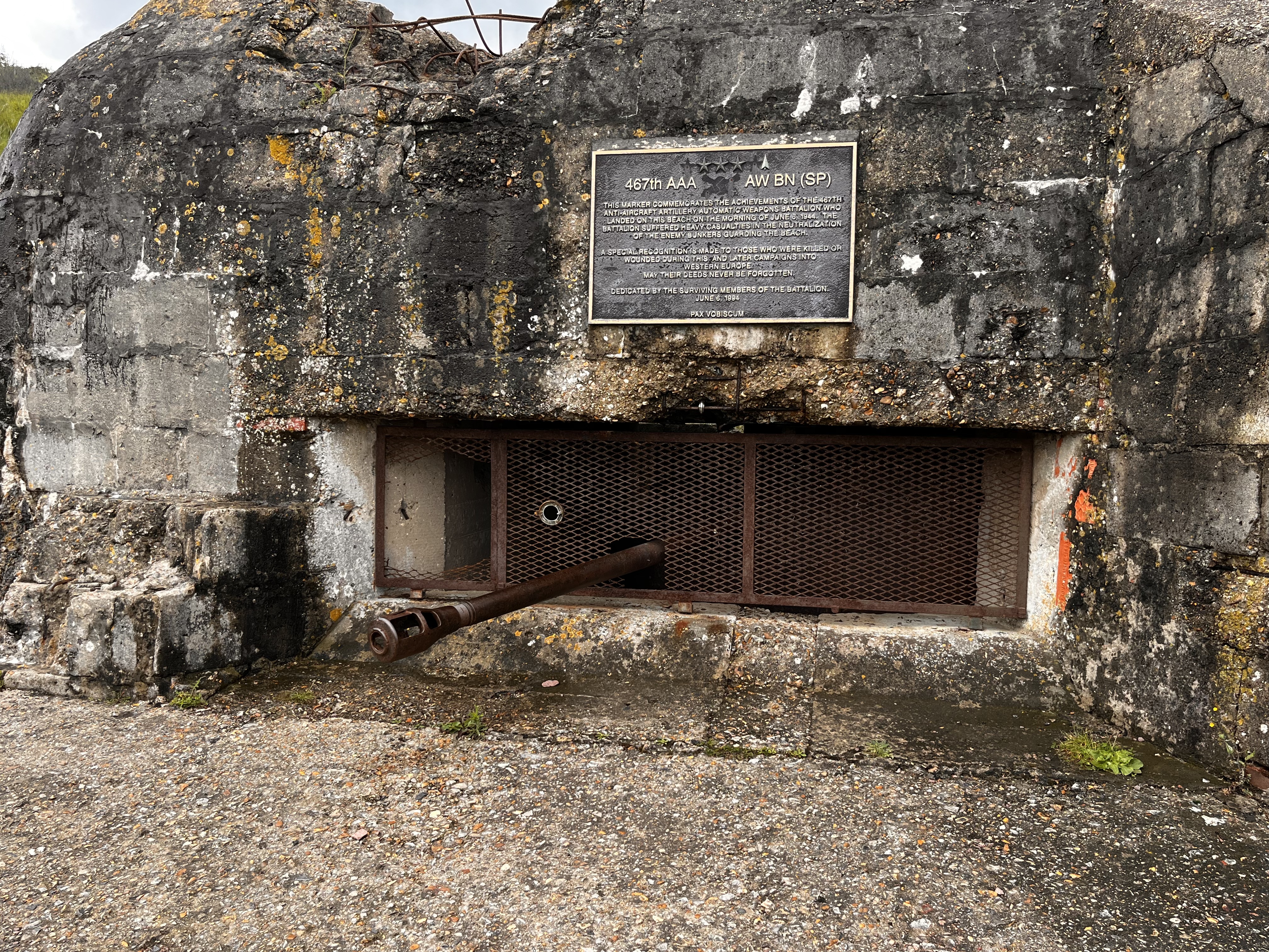
Grandcamp-Maisy - (mit Word-peace memorial, rekonstuiertem Amphitheater) -Maisy - Gefosse-Fontenay (mit Dünen bei Ebbe) - Fontenay - St.Clement - (umfahren von Osmanville) - Isigny-s.M. - (Kirche & Rathaus ,Fischereihafen) - St. Hiliaire Pettitville (1500Einw. mit Leehrpfad im Sumpf-Schutzgebiet entlang des Canal de Vire et Taute) - Carentan- (6000 Einw. mit Rathaus, Kathedrale, Arcaden der ehemaligen Handelsstadt, Deutsch-Allierte Schlacht am 8.-15.6.44 im Hinterland des Strandabschnittes UTAH, Schlüsselstellung der deutschen Verteidigung der Normandie) - le Grand Vey (Vogelparadies, Sumpfgebiet) - Utah-Beach mit Museum (Mit B-26 Bomber, Video soll gut sein ) - le Grand Hameau-des- Dunes - (Riesiger Strand mit Strandsegler) - Quineville mit Musee de liberte(stellt mehr das Leben unter der Besatzung dar) - Quttehou - ST.VAAST-LE-HOUGUE (Austernzucht, Insel Tatihou,Inseln St. Marcouf ;2 Türme Vauban, Unesco-Erbe)
- -:--
- Duration
- 76.2 km
- Distance
- 95 m
- Ascent
- 102 m
- Descent
- ---
- Avg. speed
- ---
- Avg. speed
Route quality
Waytypes & surfaces along the route
Waytypes
Busy road
29.2 km
(38 %)
Road
21 km
(28 %)
Surfaces
Paved
50.1 km
(66 %)
Unpaved
2.8 km
(4 %)
Asphalt
50.1 km
(66 %)
Loose gravel
2.1 km
(3 %)
Continue with Bikemap
Use, edit, or download this cycling route
You would like to ride Grandcamp-Maisy - St.Vaast- 76km 5h or customize it for your own trip? Here is what you can do with this Bikemap route:
Free features
- Save this route as favorite or in collections
- Copy & plan your own version of this route
- Sync your route with Garmin or Wahoo
Premium features
Free trial for 3 days, or one-time payment. More about Bikemap Premium.
- Navigate this route on iOS & Android
- Export a GPX / KML file of this route
- Create your custom printout (try it for free)
- Download this route for offline navigation
Discover more Premium features.
Get Bikemap PremiumFrom our community
Other popular routes starting in Grandcamp-Maisy
 Rue de la Hérode, Vierville-sur-Mer to Rue des Chemins de la Liberté, Colleville-sur-Mer
- Distance
- 8.9 km
- Ascent
- 85 m
- Descent
- 61 m
- Location
- Grandcamp-Maisy, Normandy, France
 12 - Vierville sur Mer nach Carentan
- Distance
- 48.1 km
- Ascent
- 93 m
- Descent
- 132 m
- Location
- Grandcamp-Maisy, Normandy, France
 Grandcamp- Hermannville
- Distance
- 78.9 km
- Ascent
- 297 m
- Descent
- 307 m
- Location
- Grandcamp-Maisy, Normandy, France
 From Grandcamp Maisy
- Distance
- 30.4 km
- Ascent
- 159 m
- Descent
- 133 m
- Location
- Grandcamp-Maisy, Normandy, France
 Normandie / Etape 2
- Distance
- 126 km
- Ascent
- 226 m
- Descent
- 247 m
- Location
- Grandcamp-Maisy, Normandy, France
 Grandcamp-Maisy - Flower Camping Le HautDick, Carentan-les-Marais
- Distance
- 29.4 km
- Ascent
- 71 m
- Descent
- 89 m
- Location
- Grandcamp-Maisy, Normandy, France
 DAY 3 Grandcamp-Maisy to Domaine Airborne
- Distance
- 32.6 km
- Ascent
- 79 m
- Descent
- 78 m
- Location
- Grandcamp-Maisy, Normandy, France
 Normandie 3, Saint-Lô - Isigny-sur-Mer
- Distance
- 77.3 km
- Ascent
- 451 m
- Descent
- 451 m
- Location
- Grandcamp-Maisy, Normandy, France
Open it in the app