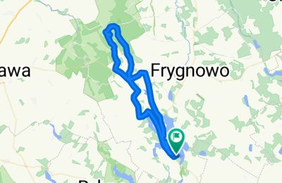
Premium Badge Download on the App Store Get it on Google Play Turn-by-turn Navigation Offline Maps Bike Type Optimized Routing Premium Maps Custom Bike Computer Export Routes Route Previews Fall Detection Premium Support

Cycling Route in D膮br贸wno, Warmian-Masurian Voivodeship, Poland

Dylewska G贸ra (312 m) z D膮br贸wna

2
Open this route in the Bikemap app

Open this route in the Bikemap app

Open this route in Bikemap Web

Open this route in Bikemap Web

44 km
Distance
191 m
Ascent
193 m
Descent
-:-- h
Duration
-- km/h
Avg. Speed
--- m
Max. Elevation

About This Route

Trasa na najwy偶sze wzniesienie WiM. Z wie偶y widokowej na szczycie rozleg艂a panorama Mazur Zachodnich. Oko艂o po艂owy trasy stanowi膮 drogi gruntowe.

This cycling route is ideal for: MTB

Route Photos

Customize this cycling route with the Bikemap route planner.

Make it yours!

Did you know? You can use this route as a template in our cycling route planner if you don't wish to start from scratch. Customize it based on your needs to plan your perfect cycling tour.

Open it in the app