

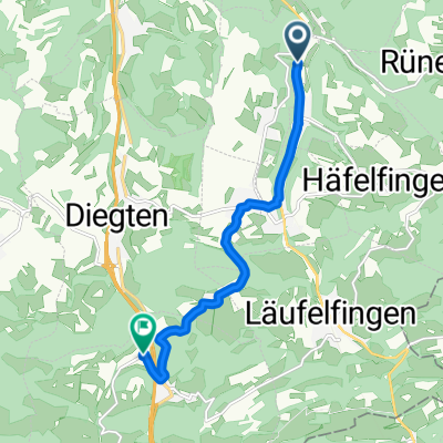
BL Buckten-Buckten Chriesi
A cycling route starting in Känerkinden, Basel-Landschaft, Switzerland.
Overview
About this route
- -:--
- Duration
- 67 km
- Distance
- 1,097 m
- Ascent
- 1,097 m
- Descent
- ---
- Avg. speed
- ---
- Avg. speed

Route quality
Waytypes & surfaces along the route
Waytypes
Road
32 km
(48 %)
Quiet road
23.1 km
(35 %)
Surfaces
Paved
51.9 km
(78 %)
Unpaved
1.2 km
(2 %)
Asphalt
45.9 km
(69 %)
Paved (undefined)
6 km
(9 %)
Continue with Bikemap
Use, edit, or download this cycling route
You would like to ride BL Buckten-Buckten Chriesi or customize it for your own trip? Here is what you can do with this Bikemap route:
Free features
- Save this route as favorite or in collections
- Copy & plan your own version of this route
- Sync your route with Garmin or Wahoo
Premium features
Free trial for 3 days, or one-time payment. More about Bikemap Premium.
- Navigate this route on iOS & Android
- Export a GPX / KML file of this route
- Create your custom printout (try it for free)
- Download this route for offline navigation
Discover more Premium features.
Get Bikemap PremiumFrom our community
Other popular routes starting in Känerkinden
 Buckten bis Kaiserstuhl| Etappe 7 | RadTour nach Rom
- Distance
- 100.9 km
- Ascent
- 829 m
- Descent
- 631 m
- Location
- Känerkinden, Basel-Landschaft, Switzerland
 Allmendstrasse 85, Rünenberg nach Allmendstrasse 85, Rünenberg
- Distance
- 7.6 km
- Ascent
- 107 m
- Descent
- 106 m
- Location
- Känerkinden, Basel-Landschaft, Switzerland
 Gemütliche Route in Oltingen
- Distance
- 9.6 km
- Ascent
- 419 m
- Descent
- 186 m
- Location
- Känerkinden, Basel-Landschaft, Switzerland
 Mörderische Fahrt in
- Distance
- 15.9 km
- Ascent
- 466 m
- Descent
- 469 m
- Location
- Känerkinden, Basel-Landschaft, Switzerland
 Einfache Fahrt in Eptingen
- Distance
- 7.7 km
- Ascent
- 300 m
- Descent
- 201 m
- Location
- Känerkinden, Basel-Landschaft, Switzerland
 Recovered Route
- Distance
- 18.2 km
- Ascent
- 519 m
- Descent
- 616 m
- Location
- Känerkinden, Basel-Landschaft, Switzerland
 Wittinsburg-Ittigen
- Distance
- 82.3 km
- Ascent
- 1,679 m
- Descent
- 1,729 m
- Location
- Känerkinden, Basel-Landschaft, Switzerland
 Moderate Route in Eptingen
- Distance
- 12.5 km
- Ascent
- 414 m
- Descent
- 489 m
- Location
- Känerkinden, Basel-Landschaft, Switzerland