
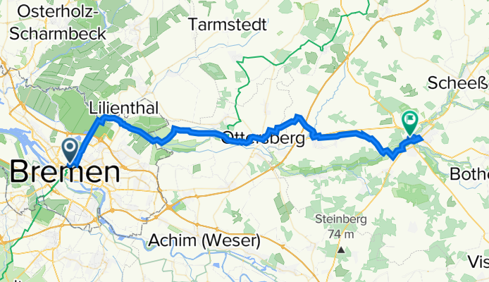
Wümmeradweg Bremen Hbf bis Rotenburg Bhf
A cycling route starting in Bremen, Bremen, Germany.
Overview
About this route
Durch die Wümmewiesen mit Halt in Fischerhude und City Row. Viel Natur und Ruhe vor Autos.
Feste Wege mit kleinen Unterbrechungen Schotter
- -:--
- Duration
- 54 km
- Distance
- 50 m
- Ascent
- 35 m
- Descent
- ---
- Avg. speed
- ---
- Avg. speed

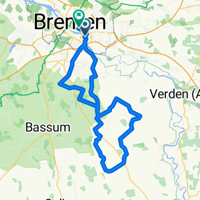
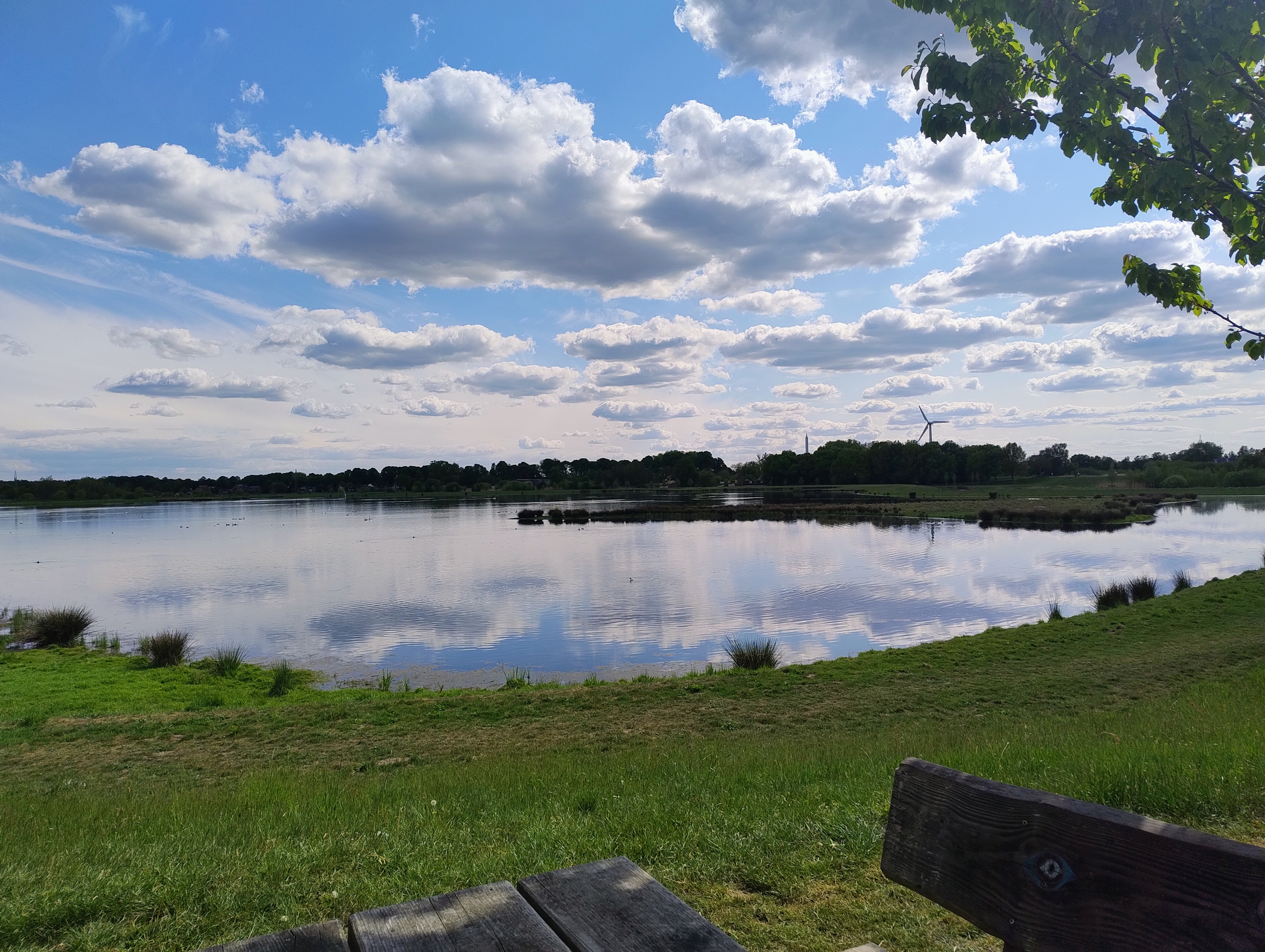
Route photos


Route quality
Waytypes & surfaces along the route
Waytypes
Quiet road
25 km
(46 %)
Track
11.6 km
(21 %)
Surfaces
Paved
35.7 km
(66 %)
Unpaved
7.9 km
(15 %)
Asphalt
25.3 km
(47 %)
Gravel
5.6 km
(10 %)
Continue with Bikemap
Use, edit, or download this cycling route
You would like to ride Wümmeradweg Bremen Hbf bis Rotenburg Bhf or customize it for your own trip? Here is what you can do with this Bikemap route:
Free features
- Save this route as favorite or in collections
- Copy & plan your own version of this route
- Sync your route with Garmin or Wahoo
Premium features
Free trial for 3 days, or one-time payment. More about Bikemap Premium.
- Navigate this route on iOS & Android
- Export a GPX / KML file of this route
- Create your custom printout (try it for free)
- Download this route for offline navigation
Discover more Premium features.
Get Bikemap PremiumFrom our community
Other popular routes starting in Bremen
 Einzelzeitfahren Bremen Deutschlandtour 2008
- Distance
- 34 km
- Ascent
- 18 m
- Descent
- 23 m
- Location
- Bremen, Bremen, Germany
 Autobahntrail
- Distance
- 32.7 km
- Ascent
- 18 m
- Descent
- 17 m
- Location
- Bremen, Bremen, Germany
 Runde im Bremer Süden
- Distance
- 109.2 km
- Ascent
- 204 m
- Descent
- 206 m
- Location
- Bremen, Bremen, Germany
 Bremen - Achim - Bremen
- Distance
- 51 km
- Ascent
- 34 m
- Descent
- 26 m
- Location
- Bremen, Bremen, Germany
 Bremen 27km Borgfeld Lilienthal
- Distance
- 27 km
- Ascent
- 22 m
- Descent
- 9 m
- Location
- Bremen, Bremen, Germany
 Skoda Timetrail Bremen
- Distance
- 38.3 km
- Ascent
- 37 m
- Descent
- 37 m
- Location
- Bremen, Bremen, Germany
 Sonntagsrunde Bremenfred
- Distance
- 112.2 km
- Ascent
- 90 m
- Descent
- 85 m
- Location
- Bremen, Bremen, Germany
 Munte-Blockland-Osterh-Scharmb.-TietjensHütte-TruperDeich-Kuhsiel-Munte
- Distance
- 42.7 km
- Ascent
- 10 m
- Descent
- 13 m
- Location
- Bremen, Bremen, Germany
Open it in the app