

Haus Sonntag (T100): Leustetten - Pfullingen
A cycling route starting in Heiligenberg, Baden-Württemberg, Germany.
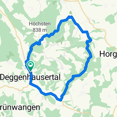
Overview
About this route
Mit dem Rennrad von Frickingen-Leustetten über Heiligenberg, Pfullendorf, an Sigmaringen vorbei, Gammertingen, Engstingen nach Pfullingen
- -:--
- Duration
- 100.7 km
- Distance
- 665 m
- Ascent
- 755 m
- Descent
- ---
- Avg. speed
- ---
- Avg. speed

Route quality
Waytypes & surfaces along the route
Waytypes
Busy road
49.3 km
(49 %)
Road
18.8 km
(19 %)
Surfaces
Paved
84.3 km
(84 %)
Unpaved
1.7 km
(2 %)
Asphalt
83.4 km
(83 %)
Gravel
1.3 km
(1 %)
Continue with Bikemap
Use, edit, or download this cycling route
You would like to ride Haus Sonntag (T100): Leustetten - Pfullingen or customize it for your own trip? Here is what you can do with this Bikemap route:
Free features
- Save this route as favorite or in collections
- Copy & plan your own version of this route
- Sync your route with Garmin or Wahoo
Premium features
Free trial for 3 days, or one-time payment. More about Bikemap Premium.
- Navigate this route on iOS & Android
- Export a GPX / KML file of this route
- Create your custom printout (try it for free)
- Download this route for offline navigation
Discover more Premium features.
Get Bikemap PremiumFrom our community
Other popular routes starting in Heiligenberg
 D-Tal - Markdorf - Hagnau - Bermatingen - D-Tal
- Distance
- 40.3 km
- Ascent
- 532 m
- Descent
- 533 m
- Location
- Heiligenberg, Baden-Württemberg, Germany
 Wilhelsdorf, Höchsten
- Distance
- 45.5 km
- Ascent
- 556 m
- Descent
- 556 m
- Location
- Heiligenberg, Baden-Württemberg, Germany
 D-Tal - Höchsten - (fast Hasenweiler) - Rotach - (fast) Urnau - D-Tal
- Distance
- 23.7 km
- Ascent
- 321 m
- Descent
- 321 m
- Location
- Heiligenberg, Baden-Württemberg, Germany
 BeurenHöchstenBeuren
- Distance
- 46.9 km
- Ascent
- 875 m
- Descent
- 880 m
- Location
- Heiligenberg, Baden-Württemberg, Germany
 Fitnessrunde rund ums Haus Sonntag
- Distance
- 11.1 km
- Ascent
- 305 m
- Descent
- 304 m
- Location
- Heiligenberg, Baden-Württemberg, Germany
 Salemertal - Meersburg - Uhldingen
- Distance
- 40.4 km
- Ascent
- 358 m
- Descent
- 370 m
- Location
- Heiligenberg, Baden-Württemberg, Germany
 radwege betenbrunn
- Distance
- 30.1 km
- Ascent
- 628 m
- Descent
- 650 m
- Location
- Heiligenberg, Baden-Württemberg, Germany
 Owingen, Taisersdorf
- Distance
- 35.5 km
- Ascent
- 444 m
- Descent
- 444 m
- Location
- Heiligenberg, Baden-Württemberg, Germany
Open it in the app