
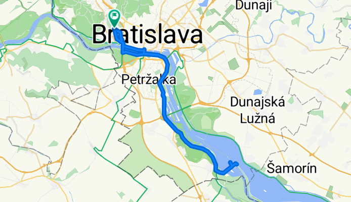
K hrádzi a naspäť
A cycling route starting in Bratislava, Bratislavský kraj, Slovak Republic.
Overview
About this route
- -:--
- Duration
- 52.7 km
- Distance
- 78 m
- Ascent
- 79 m
- Descent
- ---
- Avg. speed
- ---
- Avg. speed

Route quality
Waytypes & surfaces along the route
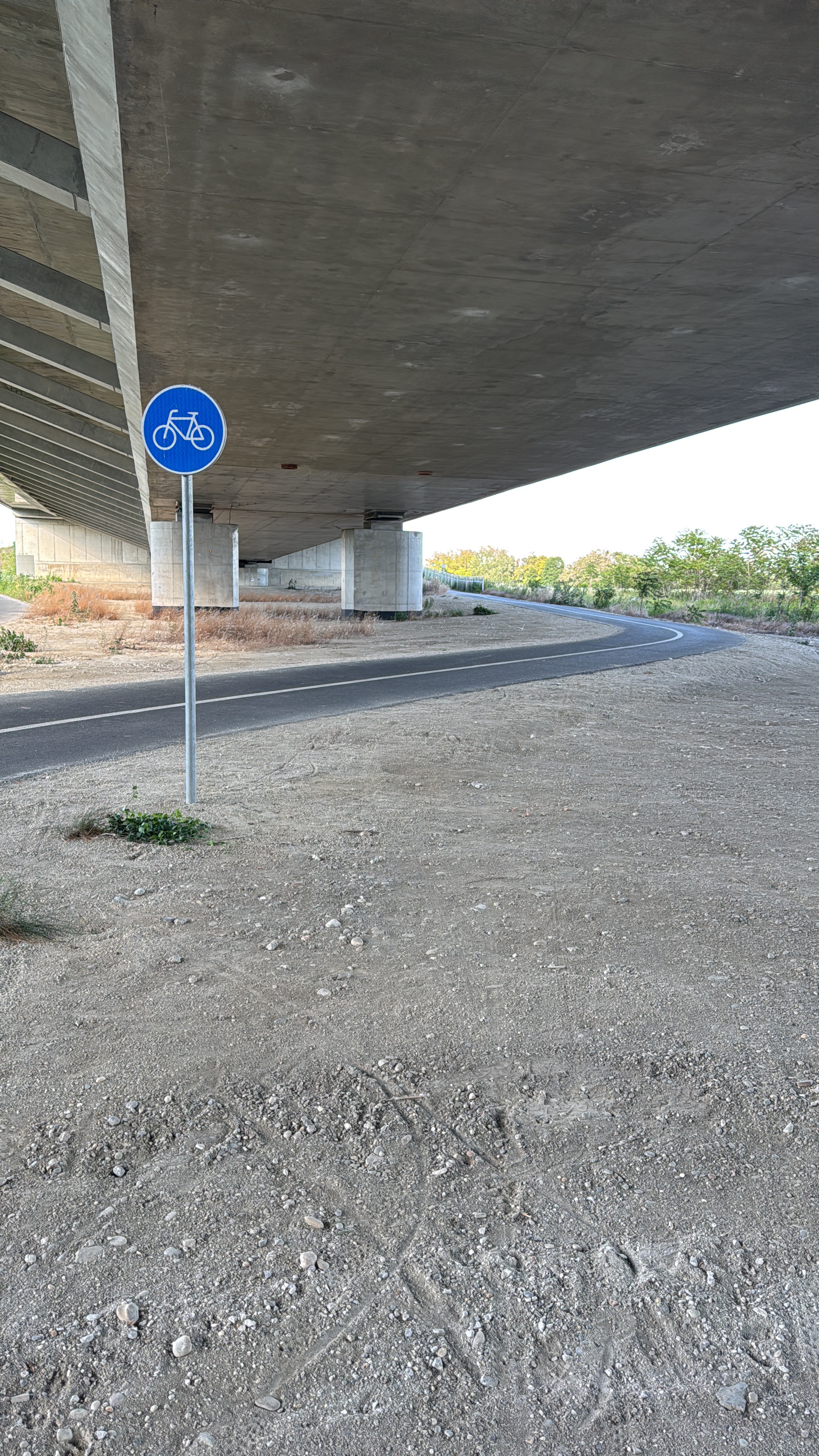
Waytypes
Cycleway
39.7 km
(75 %)
Access road
6 km
(11 %)
Surfaces
Paved
51.2 km
(97 %)
Asphalt
45.1 km
(86 %)
Paving stones
2.3 km
(4 %)
Continue with Bikemap
Use, edit, or download this cycling route
You would like to ride K hrádzi a naspäť or customize it for your own trip? Here is what you can do with this Bikemap route:
Free features
- Save this route as favorite or in collections
- Copy & plan your own version of this route
- Sync your route with Garmin or Wahoo
Premium features
Free trial for 3 days, or one-time payment. More about Bikemap Premium.
- Navigate this route on iOS & Android
- Export a GPX / KML file of this route
- Create your custom printout (try it for free)
- Download this route for offline navigation
Discover more Premium features.
Get Bikemap PremiumFrom our community
Other popular routes starting in Bratislava
 poobedňajšia 50ka BA-Bernolákovo a späť
- Distance
- 50.3 km
- Ascent
- 47 m
- Descent
- 47 m
- Location
- Bratislava, Bratislavský kraj, Slovak Republic
 Žltá, Bratislava V to Fialová, Bratislava V
- Distance
- 10.8 km
- Ascent
- 104 m
- Descent
- 96 m
- Location
- Bratislava, Bratislavský kraj, Slovak Republic
 Okolo Dunaja cez Vojku
- Distance
- 65.5 km
- Ascent
- 75 m
- Descent
- 75 m
- Location
- Bratislava, Bratislavský kraj, Slovak Republic
 Bratislava - Vojka
- Distance
- 63.4 km
- Ascent
- 48 m
- Descent
- 50 m
- Location
- Bratislava, Bratislavský kraj, Slovak Republic
 Route to Modrý kostol svätej Alžbety
- Distance
- 13.1 km
- Ascent
- 26 m
- Descent
- 25 m
- Location
- Bratislava, Bratislavský kraj, Slovak Republic
 Milanova80tka
- Distance
- 74.9 km
- Ascent
- 48 m
- Descent
- 48 m
- Location
- Bratislava, Bratislavský kraj, Slovak Republic
 Road: Kopce na železnej studničke
- Distance
- 87.4 km
- Ascent
- 1,887 m
- Descent
- 1,882 m
- Location
- Bratislava, Bratislavský kraj, Slovak Republic
 okolo Hundsheimeru
- Distance
- 43 km
- Ascent
- 218 m
- Descent
- 210 m
- Location
- Bratislava, Bratislavský kraj, Slovak Republic
Open it in the app