

Bringahorda 2018 opt.1
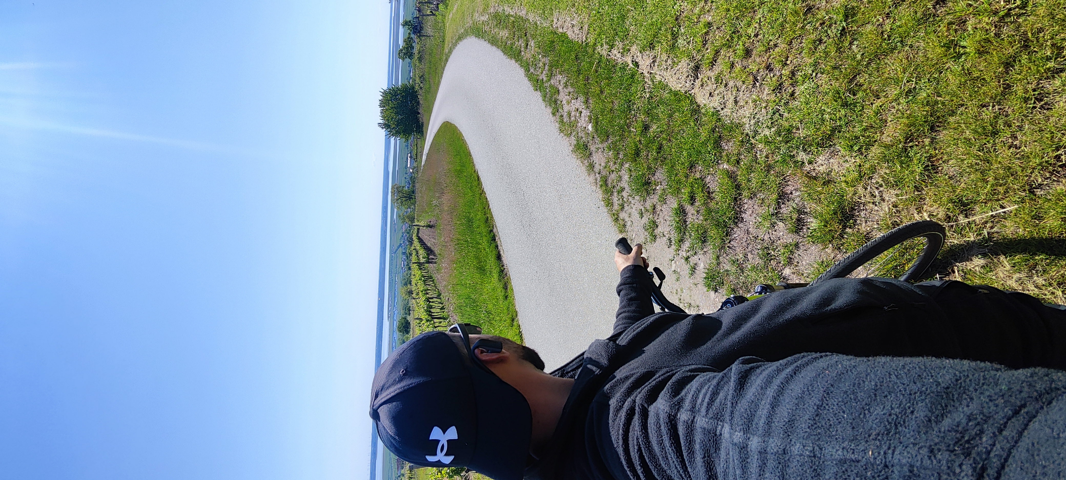
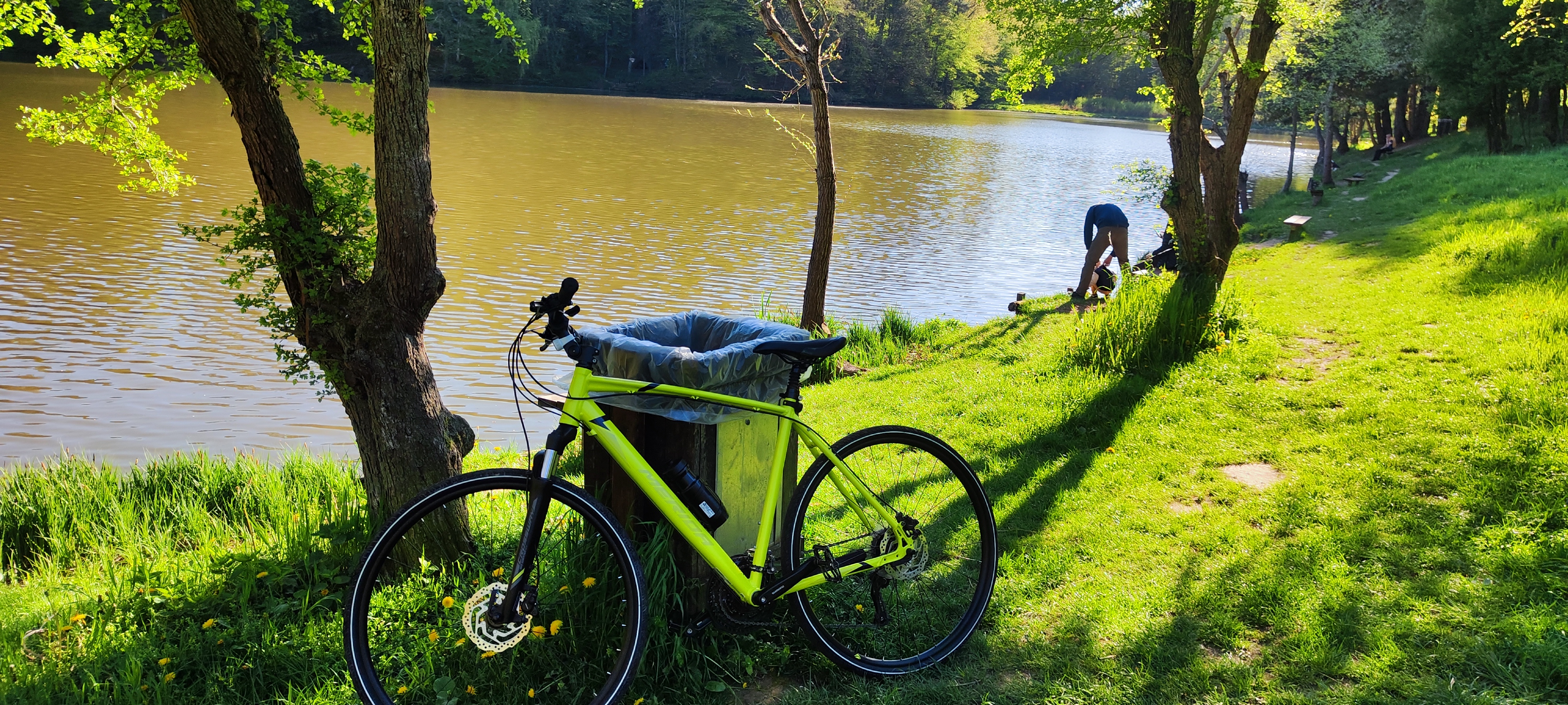
A cycling route starting in Sopron, Győr-Moson-Sopron, Hungary.
Overview
About this route
Bringahorda 2018 opt.1
- -:--
- Duration
- 169.5 km
- Distance
- 813 m
- Ascent
- 815 m
- Descent
- ---
- Avg. speed
- ---
- Avg. speed

Continue with Bikemap
Use, edit, or download this cycling route
You would like to ride Bringahorda 2018 opt.1 or customize it for your own trip? Here is what you can do with this Bikemap route:
Free features
- Save this route as favorite or in collections
- Copy & plan your own version of this route
- Sync your route with Garmin or Wahoo
Premium features
Free trial for 3 days, or one-time payment. More about Bikemap Premium.
- Navigate this route on iOS & Android
- Export a GPX / KML file of this route
- Create your custom printout (try it for free)
- Download this route for offline navigation
Discover more Premium features.
Get Bikemap PremiumFrom our community
Other popular routes starting in Sopron
 Mörbisch
- Distance
- 34.3 km
- Ascent
- 284 m
- Descent
- 329 m
- Location
- Sopron, Győr-Moson-Sopron, Hungary
 Eisenstadt oda-vissza - expert
- Distance
- 60.3 km
- Ascent
- 422 m
- Descent
- 420 m
- Location
- Sopron, Győr-Moson-Sopron, Hungary
 Sopron - Schwarzenbach szerpentin
- Distance
- 72.2 km
- Ascent
- 991 m
- Descent
- 990 m
- Location
- Sopron, Győr-Moson-Sopron, Hungary
 Sopron-Bécs
- Distance
- 65.9 km
- Ascent
- 260 m
- Descent
- 294 m
- Location
- Sopron, Győr-Moson-Sopron, Hungary
 Soproni-hegységi Kék
- Distance
- 28.7 km
- Ascent
- 544 m
- Descent
- 542 m
- Location
- Sopron, Győr-Moson-Sopron, Hungary
 IV. László király utca
- Distance
- 34.1 km
- Ascent
- 177 m
- Descent
- 226 m
- Location
- Sopron, Győr-Moson-Sopron, Hungary
 Lange Ausfahrt durch Ödenburg
- Distance
- 43.8 km
- Ascent
- 304 m
- Descent
- 307 m
- Location
- Sopron, Győr-Moson-Sopron, Hungary
 Fehér úti-tó
- Distance
- 27.3 km
- Ascent
- 217 m
- Descent
- 238 m
- Location
- Sopron, Győr-Moson-Sopron, Hungary
Open it in the app