Premium Badge Download on the App Store Get it on Google Play Turn-by-turn Navigation Offline Maps Bike Type Optimized Routing Premium Maps Custom Bike Computer Export Routes Route Previews Fall Detection Premium Support

Cycling Route in Saint-Jean-le-Blanc, Centre Region, France
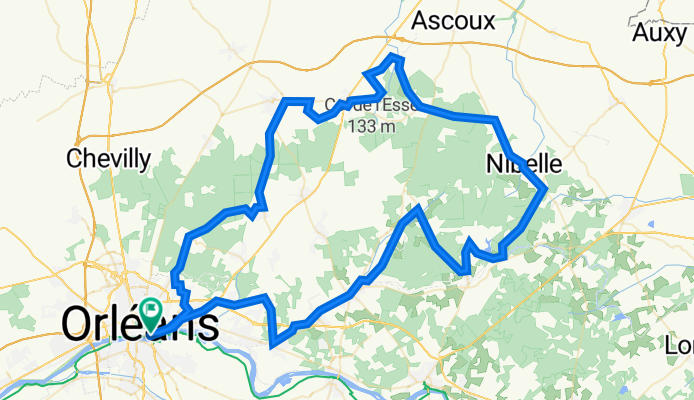
LOIRET - NE - 114km

0
Open this route in the Bikemap app

Open this route in the Bikemap app

Open this route in Bikemap Web

Open this route in Bikemap Web

113 km
Distance
526 m
Ascent
526 m
Descent
-:-- h
Duration
-- km/h
Avg. Speed
151 m
Max. Elevation

About This Route

nord - est orleans 1114m Orleans- boigny - mardié - fay - dir sully la chapelle - ingrannes - vitry - schebrières - étang de combreux -  nibelle - chambon - coucy - Mareau - Chilleur - neuville - Rebréchien - Chanteau - Orleans

Highlights Along The Route

Point of Interest

pose technique, km 43

Customize this cycling route with the Bikemap route planner.

Make it yours!

Did you know? You can use this route as a template in our cycling route planner if you don't wish to start from scratch. Customize it based on your needs to plan your perfect cycling tour.

Open it in the app