
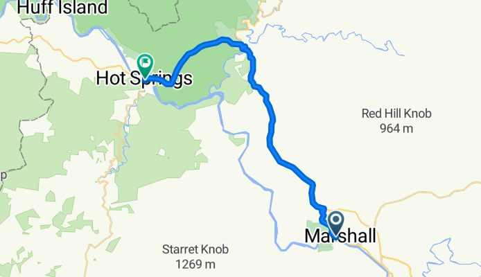
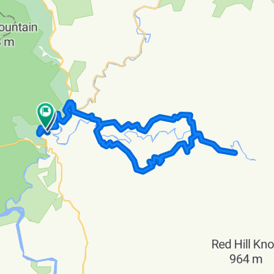
Marshall to Hot Springs (Rafting)
A cycling route starting in Marshall, North Carolina, United States of America.
Overview
About this route
Head north, not south, on one of the only rivers in the northern hemisphere that head in the direction.
- -:--
- Duration
- 26.1 km
- Distance
- 594 m
- Ascent
- 732 m
- Descent
- ---
- Avg. speed
- ---
- Avg. speed

Route quality
Waytypes & surfaces along the route
Waytypes
Cycleway
14.3 km
(55 %)
Busy road
8 km
(31 %)
Surfaces
Paved
22.7 km
(87 %)
Asphalt
22.7 km
(87 %)
Undefined
3.4 km
(13 %)
Continue with Bikemap
Use, edit, or download this cycling route
You would like to ride Marshall to Hot Springs (Rafting) or customize it for your own trip? Here is what you can do with this Bikemap route:
Free features
- Save this route as favorite or in collections
- Copy & plan your own version of this route
- Sync your route with Garmin or Wahoo
Premium features
Free trial for 3 days, or one-time payment. More about Bikemap Premium.
- Navigate this route on iOS & Android
- Export a GPX / KML file of this route
- Create your custom printout (try it for free)
- Download this route for offline navigation
Discover more Premium features.
Get Bikemap PremiumFrom our community
Other popular routes starting in Marshall
 Marshall Cycling
- Distance
- 16.5 km
- Ascent
- 521 m
- Descent
- 470 m
- Location
- Marshall, North Carolina, United States of America
 Marshall to Hot Springs (Rafting)
- Distance
- 26.1 km
- Ascent
- 594 m
- Descent
- 732 m
- Location
- Marshall, North Carolina, United States of America
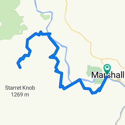 Marshall-Worley via Walnut
- Distance
- 56 km
- Ascent
- 844 m
- Descent
- 844 m
- Location
- Marshall, North Carolina, United States of America
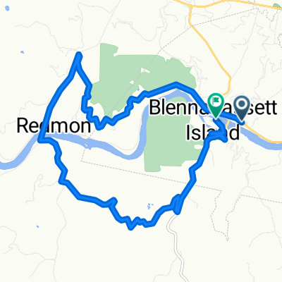 136 S Main St, Marshall to Blannahassett Island, Marshall
- Distance
- 13.5 km
- Ascent
- 398 m
- Descent
- 402 m
- Location
- Marshall, North Carolina, United States of America
 Big Laurel Creek loop from Hurricane
- Distance
- 39.6 km
- Ascent
- 543 m
- Descent
- 574 m
- Location
- Marshall, North Carolina, United States of America
 Marshall Cycling
- Distance
- 17.4 km
- Ascent
- 614 m
- Descent
- 615 m
- Location
- Marshall, North Carolina, United States of America
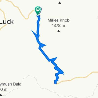
 Hot Springs lollipop to Cove Creek, Tennessee
- Distance
- 45.2 km
- Ascent
- 533 m
- Descent
- 532 m
- Location
- Marshall, North Carolina, United States of America
 Hot Springs - Pine Spring TN lollypop
- Distance
- 44.5 km
- Ascent
- 488 m
- Descent
- 488 m
- Location
- Marshall, North Carolina, United States of America
Open it in the app