Premium Badge Download on the App Store Get it on Google Play Turn-by-turn Navigation Offline Maps Bike Type Optimized Routing Premium Maps Custom Bike Computer Export Routes Route Previews Fall Detection Premium Support

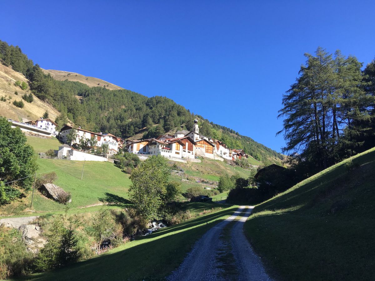
Cycling Route in Prad am Stilfser Joch, Trentino-Alto Adige, Italy

Prad - Planeiler Alm

1
Open this route in Bikemap Web

Open this route in Bikemap Web

56 km
Distance
1583 m
Ascent
1577 m
Descent
-:-- h
Duration
-- km/h
Avg. Speed
--- m
Max. Elevation

About This Route

Von Prag über Glurn und Mals nach Planeil dann weiter zur Planeiler Alm ( höchstgelegene bewirtschaftete Alm im Vinschgau ). Danach entweder den gleichen Weg zurück oder noch ein Stück rauf zur Hinterberger Hütte. Die Abfahrt von der Hinterberger Hütte ist jedoch nicht gut zu finden oder zu fahren. Es muß einige mal geschoben werden. Man wird jedoch mit einem unbeschreiblichen Panorama belohnt. Danach wieder auf demselben Weg zurück nach Prad.

This cycling route is ideal for: MTB

You will cycle on the following surfaces: Paved Unpaved Gravel

Route Photos

Customize this cycling route with the Bikemap route planner.

Make it yours!

You can use this route as a template in our cycling route planner so that you don’t have to start from scratch. Customize it based on your needs to plan your perfect cycling tour.