

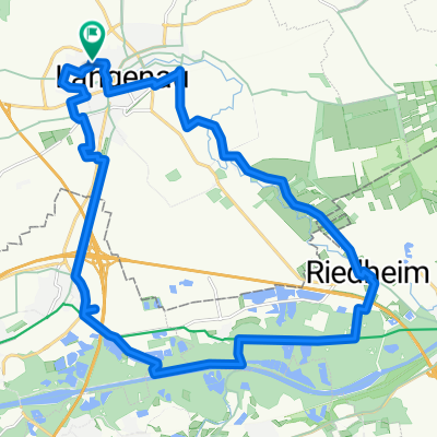
Langenau - Beimerstetten - Altheim - Langenau
A cycling route starting in Langenau, Baden-Württemberg, Germany.
Overview
About this route
Langenau - Beimerstetten - Altheim - Langenau
- -:--
- Duration
- 40.3 km
- Distance
- 294 m
- Ascent
- 295 m
- Descent
- ---
- Avg. speed
- ---
- Avg. speed

Route quality
Waytypes & surfaces along the route
Waytypes
Quiet road
15.8 km
(39 %)
Busy road
8.1 km
(20 %)
Surfaces
Paved
30.9 km
(77 %)
Unpaved
0.1 km
(<1 %)
Asphalt
29.2 km
(73 %)
Paved (undefined)
1.7 km
(4 %)
Continue with Bikemap
Use, edit, or download this cycling route
You would like to ride Langenau - Beimerstetten - Altheim - Langenau or customize it for your own trip? Here is what you can do with this Bikemap route:
Free features
- Save this route as favorite or in collections
- Copy & plan your own version of this route
- Sync your route with Garmin or Wahoo
Premium features
Free trial for 3 days, or one-time payment. More about Bikemap Premium.
- Navigate this route on iOS & Android
- Export a GPX / KML file of this route
- Create your custom printout (try it for free)
- Download this route for offline navigation
Discover more Premium features.
Get Bikemap PremiumFrom our community
Other popular routes starting in Langenau
 2018 05 31
- Distance
- 34.4 km
- Ascent
- 70 m
- Descent
- 70 m
- Location
- Langenau, Baden-Württemberg, Germany
 2018 07 15
- Distance
- 26 km
- Ascent
- 38 m
- Descent
- 38 m
- Location
- Langenau, Baden-Württemberg, Germany
 2019 06 09 testroute
- Distance
- 17.6 km
- Ascent
- 68 m
- Descent
- 70 m
- Location
- Langenau, Baden-Württemberg, Germany
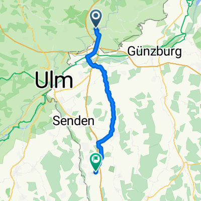
 Langenau Lindenau Lonetal
- Distance
- 58.1 km
- Ascent
- 281 m
- Descent
- 279 m
- Location
- Langenau, Baden-Württemberg, Germany
 Illertissen-Langenau-rr
- Distance
- 39.7 km
- Ascent
- 173 m
- Descent
- 147 m
- Location
- Langenau, Baden-Württemberg, Germany
 Donauebene und Lonetal
- Distance
- 42.1 km
- Ascent
- 214 m
- Descent
- 214 m
- Location
- Langenau, Baden-Württemberg, Germany
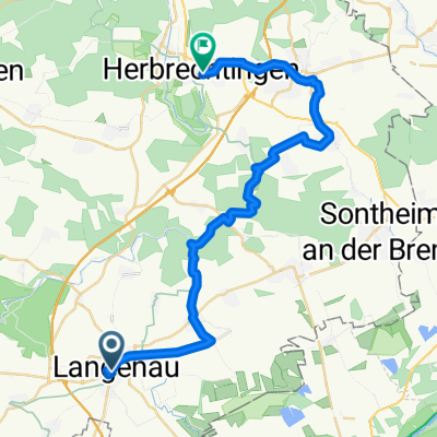 1. Langenau-Herbrechtingen (Albtäler)
- Distance
- 31.9 km
- Ascent
- 257 m
- Descent
- 248 m
- Location
- Langenau, Baden-Württemberg, Germany
 Yoshi
Yoshi- Distance
- 12.9 km
- Ascent
- 46 m
- Descent
- 46 m
- Location
- Langenau, Baden-Württemberg, Germany
Open it in the app