

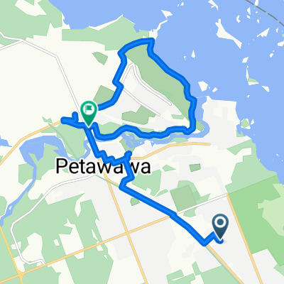
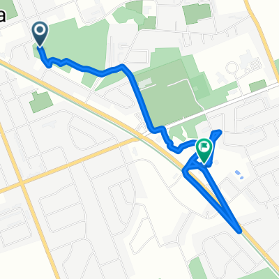
Lou-Route X-giving2018/Hwy 17-Kingston
A cycling route starting in Petawawa, Ontario, Canada.
Overview
About this route
Backroads; exiting Hwy #17 at B-Line Road [between Petawawa and Pembroke], to Milton Subdivision.
- -:--
- Duration
- 252.1 km
- Distance
- 394 m
- Ascent
- 447 m
- Descent
- ---
- Avg. speed
- ---
- Avg. speed
Route quality
Waytypes & surfaces along the route
Waytypes
Busy road
193.1 km
(77 %)
Quiet road
48.5 km
(19 %)
Surfaces
Paved
168.9 km
(67 %)
Unpaved
17.5 km
(7 %)
Asphalt
124.8 km
(50 %)
Paved (undefined)
44.1 km
(17 %)
Continue with Bikemap
Use, edit, or download this cycling route
You would like to ride Lou-Route X-giving2018/Hwy 17-Kingston or customize it for your own trip? Here is what you can do with this Bikemap route:
Free features
- Save this route as favorite or in collections
- Copy & plan your own version of this route
- Sync your route with Garmin or Wahoo
Premium features
Free trial for 3 days, or one-time payment. More about Bikemap Premium.
- Navigate this route on iOS & Android
- Export a GPX / KML file of this route
- Create your custom printout (try it for free)
- Download this route for offline navigation
Discover more Premium features.
Get Bikemap PremiumFrom our community
Other popular routes starting in Petawawa
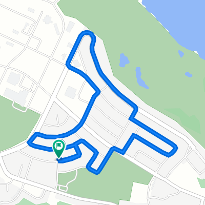 46 Reichwald Cres, Petawawa to 44 Reichwald Cres, Petawawa
- Distance
- 4.2 km
- Ascent
- 16 m
- Descent
- 13 m
- Location
- Petawawa, Ontario, Canada
 2 Day Ride
- Distance
- 27.8 km
- Ascent
- 145 m
- Descent
- 143 m
- Location
- Petawawa, Ontario, Canada
 Radtke Rd, Petawawa to Radtke Rd, Petawawa
- Distance
- 10.2 km
- Ascent
- 39 m
- Descent
- 42 m
- Location
- Petawawa, Ontario, Canada
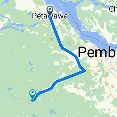
 Norris to Pet River (Rapids) to Campground/Marina
- Distance
- 13.3 km
- Ascent
- 108 m
- Descent
- 111 m
- Location
- Petawawa, Ontario, Canada
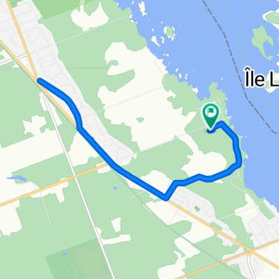
 24 Ethel St, Petawawa to 3025 Petawawa Blvd, Petawawa
- Distance
- 4.9 km
- Ascent
- 480 m
- Descent
- 479 m
- Location
- Petawawa, Ontario, Canada
 13 Maple Ave, Petawawa to 13 Maple Ave, Petawawa
- Distance
- 13.6 km
- Ascent
- 321 m
- Descent
- 321 m
- Location
- Petawawa, Ontario, Canada
 Radtke Rd, Petawawa to Radtke Rd, Petawawa
- Distance
- 15.7 km
- Ascent
- 43 m
- Descent
- 49 m
- Location
- Petawawa, Ontario, Canada
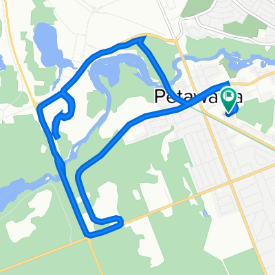
 Lou-Route X-giving2018/Hwy 17-Kingston
- Distance
- 252.1 km
- Ascent
- 394 m
- Descent
- 447 m
- Location
- Petawawa, Ontario, Canada
Open it in the app