

benahavis-montemayor
A cycling route starting in Benahavís, Andalusia, Spain.
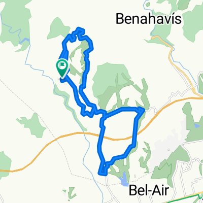
Overview
About this route
- -:--
- Duration
- 7.5 km
- Distance
- 422 m
- Ascent
- 420 m
- Descent
- ---
- Avg. speed
- ---
- Avg. speed

Continue with Bikemap
Use, edit, or download this cycling route
You would like to ride benahavis-montemayor or customize it for your own trip? Here is what you can do with this Bikemap route:
Free features
- Save this route as favorite or in collections
- Copy & plan your own version of this route
- Sync your route with Garmin or Wahoo
Premium features
Free trial for 3 days, or one-time payment. More about Bikemap Premium.
- Navigate this route on iOS & Android
- Export a GPX / KML file of this route
- Create your custom printout (try it for free)
- Download this route for offline navigation
Discover more Premium features.
Get Bikemap PremiumFrom our community
Other popular routes starting in Benahavís
 Reservoir Trail Benahavis
- Distance
- 6.4 km
- Ascent
- 208 m
- Descent
- 209 m
- Location
- Benahavís, Andalusia, Spain
 Sendero acequia de guadalmina
- Distance
- 4.6 km
- Ascent
- 150 m
- Descent
- 149 m
- Location
- Benahavís, Andalusia, Spain
 2hrs 20km 470m explore close by
- Distance
- 20.4 km
- Ascent
- 552 m
- Descent
- 566 m
- Location
- Benahavís, Andalusia, Spain
 Zagaleta
- Distance
- 27.5 km
- Ascent
- 700 m
- Descent
- 700 m
- Location
- Benahavís, Andalusia, Spain
 Mirador de Igualeja 70km_1800vm
- Distance
- 69.5 km
- Ascent
- 1,520 m
- Descent
- 1,520 m
- Location
- Benahavís, Andalusia, Spain
 DAY 1 - Ronda - juzcar - smurf villages
- Distance
- 133.6 km
- Ascent
- 2,330 m
- Descent
- 2,328 m
- Location
- Benahavís, Andalusia, Spain
 Ronda 122km_2800vm
- Distance
- 121.9 km
- Ascent
- 1,775 m
- Descent
- 1,775 m
- Location
- Benahavís, Andalusia, Spain
 2hrs 660m 20kms Lake
- Distance
- 20.8 km
- Ascent
- 724 m
- Descent
- 727 m
- Location
- Benahavís, Andalusia, Spain
Open it in the app