

1.Etappe Brenner-Bruneck
A cycling route starting in Colle Isarco, Trentino-Alto Adige, Italy.
Overview
About this route
- -:--
- Duration
- 66.9 km
- Distance
- 250 m
- Ascent
- 732 m
- Descent
- ---
- Avg. speed
- ---
- Avg. speed

Route quality
Waytypes & surfaces along the route
Waytypes
Quiet road
15.1 km
(23 %)
Access road
13.8 km
(21 %)
Surfaces
Paved
54.4 km
(81 %)
Unpaved
1.2 km
(2 %)
Asphalt
53.7 km
(80 %)
Gravel
0.6 km
(<1 %)
Continue with Bikemap
Use, edit, or download this cycling route
You would like to ride 1.Etappe Brenner-Bruneck or customize it for your own trip? Here is what you can do with this Bikemap route:
Free features
- Save this route as favorite or in collections
- Copy & plan your own version of this route
- Sync your route with Garmin or Wahoo
Premium features
Free trial for 3 days, or one-time payment. More about Bikemap Premium.
- Navigate this route on iOS & Android
- Export a GPX / KML file of this route
- Create your custom printout (try it for free)
- Download this route for offline navigation
Discover more Premium features.
Get Bikemap PremiumFrom our community
Other popular routes starting in Colle Isarco
 Pflersch 84, Gossensaß nach Am Priel 15, Brixen
- Distance
- 45.8 km
- Ascent
- 801 m
- Descent
- 1,341 m
- Location
- Colle Isarco, Trentino-Alto Adige, Italy
 Brenner - Lago di Valdora (Olang See)
- Distance
- 87.6 km
- Ascent
- 595 m
- Descent
- 865 m
- Location
- Colle Isarco, Trentino-Alto Adige, Italy
 Große Brenner-Grenzkamm Runde - Große Brenner-Grenzkamm Runde
- Distance
- 64.6 km
- Ascent
- 2,371 m
- Descent
- 2,289 m
- Location
- Colle Isarco, Trentino-Alto Adige, Italy
 Urlaub2022_5_ Brenner - Breitenach
- Distance
- 101.4 km
- Ascent
- 702 m
- Descent
- 1,520 m
- Location
- Colle Isarco, Trentino-Alto Adige, Italy
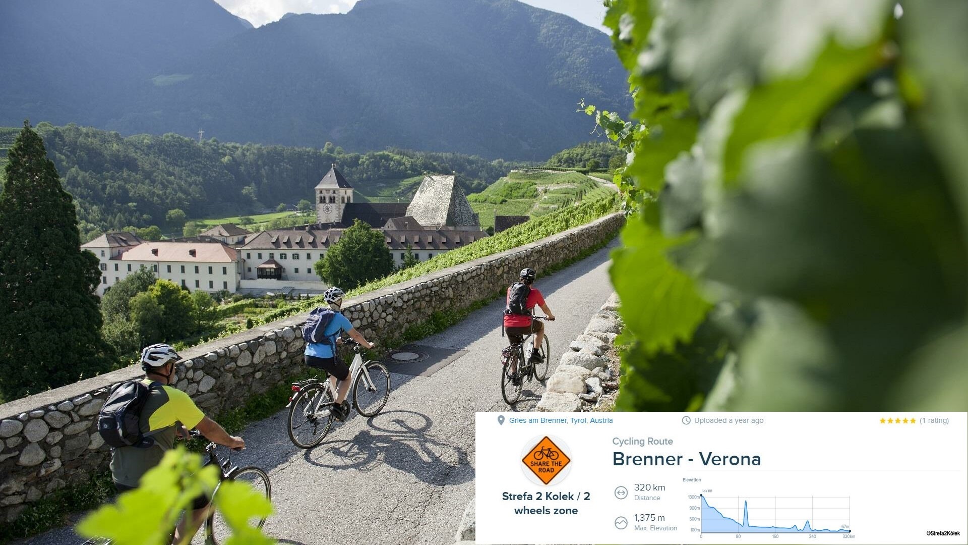 From Brenner to Verona by S2K
- Distance
- 339.1 km
- Ascent
- 3,818 m
- Descent
- 4,819 m
- Location
- Colle Isarco, Trentino-Alto Adige, Italy
 Brenner - Taibon (recommended by you)
- Distance
- 143 km
- Ascent
- 1,421 m
- Descent
- 2,119 m
- Location
- Colle Isarco, Trentino-Alto Adige, Italy
 Route zu Lago Di Caldonazzo
- Distance
- 163.7 km
- Ascent
- 2,098 m
- Descent
- 2,719 m
- Location
- Colle Isarco, Trentino-Alto Adige, Italy
 Tag 1 Sandjöchltour
- Distance
- 30.2 km
- Ascent
- 1,152 m
- Descent
- 1,152 m
- Location
- Colle Isarco, Trentino-Alto Adige, Italy
Open it in the app