Kazán szoros
A cycling route starting in Bela Crkva, Vojvodina, Serbia.
Overview
About this route
- -:--
- Duration
- 347.4 km
- Distance
- 1,050 m
- Ascent
- 1,050 m
- Descent
- ---
- Avg. speed
- ---
- Avg. speed
Route quality
Waytypes & surfaces along the route
Waytypes
Busy road
263.5 km
(76 %)
Road
28.8 km
(8 %)
Surfaces
Paved
315.8 km
(91 %)
Unpaved
6.8 km
(2 %)
Asphalt
315.4 km
(91 %)
Gravel
5.8 km
(2 %)
Route highlights
Points of interest along the route

Photo after 18.4 km
Néra folyó. A Krassó-Szörényi-érchegységben ered, Karánsebestől 30 km-re délnyugatra a Déli-Kárpátokban, és Fehértemplomtól 10 km-re délnyugatra torkollik a Dunába. Hossza 126 km ebből 27 km határfolyó, vízgyűjtő területe 1 420 km². Árvizeiről nevezetes. GPS: 44.884754, 21.566138
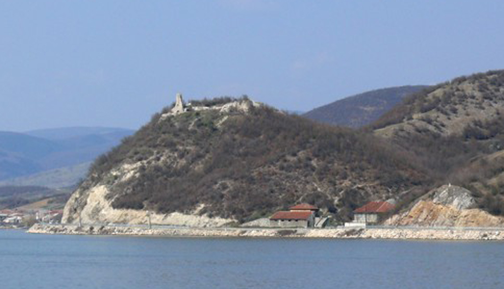
Photo after 56.3 km
László-vára
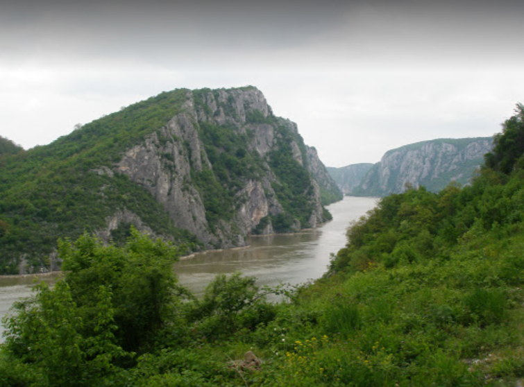
Photo after 115.8 km
Nagy kazán szoros. A legszűkebb rész, csak 150 méter széles
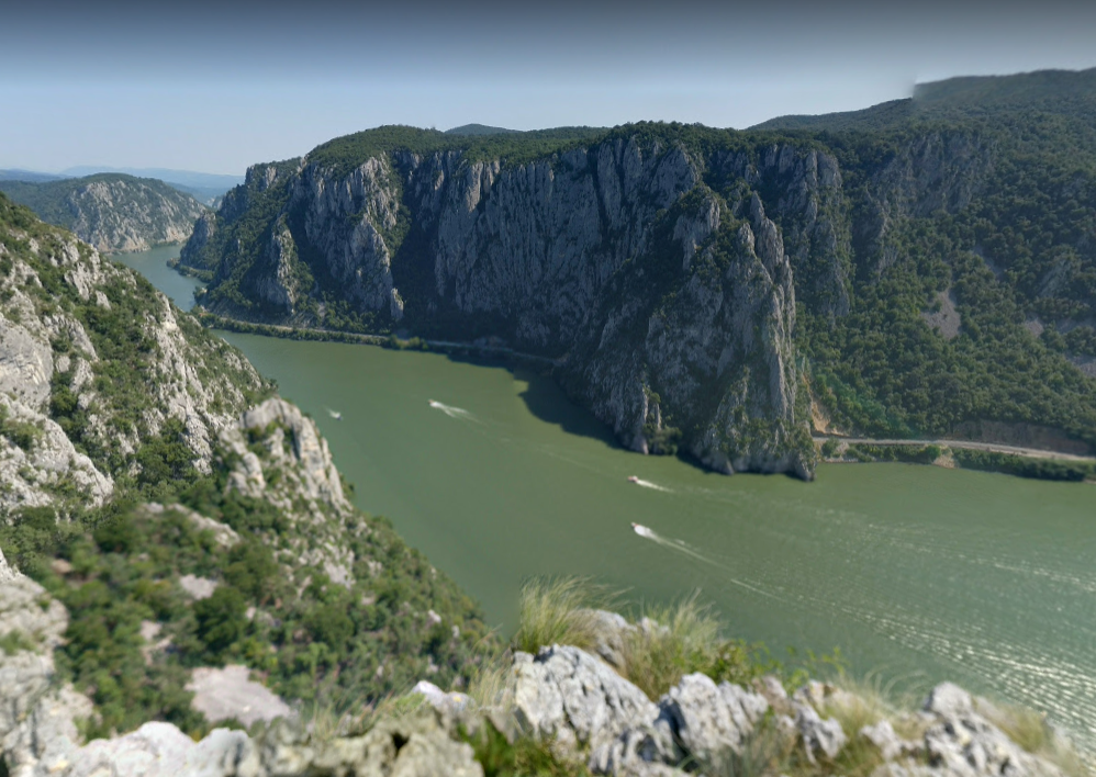
Photo after 120.6 km
Kilátás a Nagy-csukárról, a Kis-kazán szorosra. A kilátópontot 145 méter szint gyaloglással lehet elérni, az aszfalt úttól.
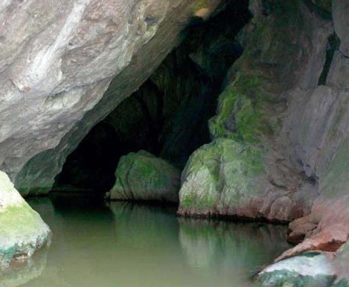
Photo after 120.6 km
A kétszer ostromolt barlangvár
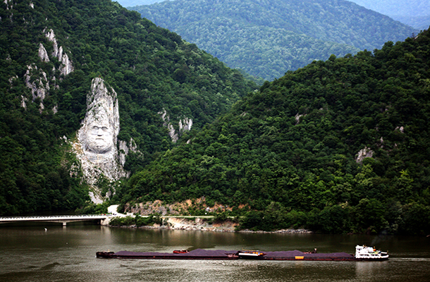
Photo after 127.6 km
Decebál dák vezér sziklába vésett szobra.
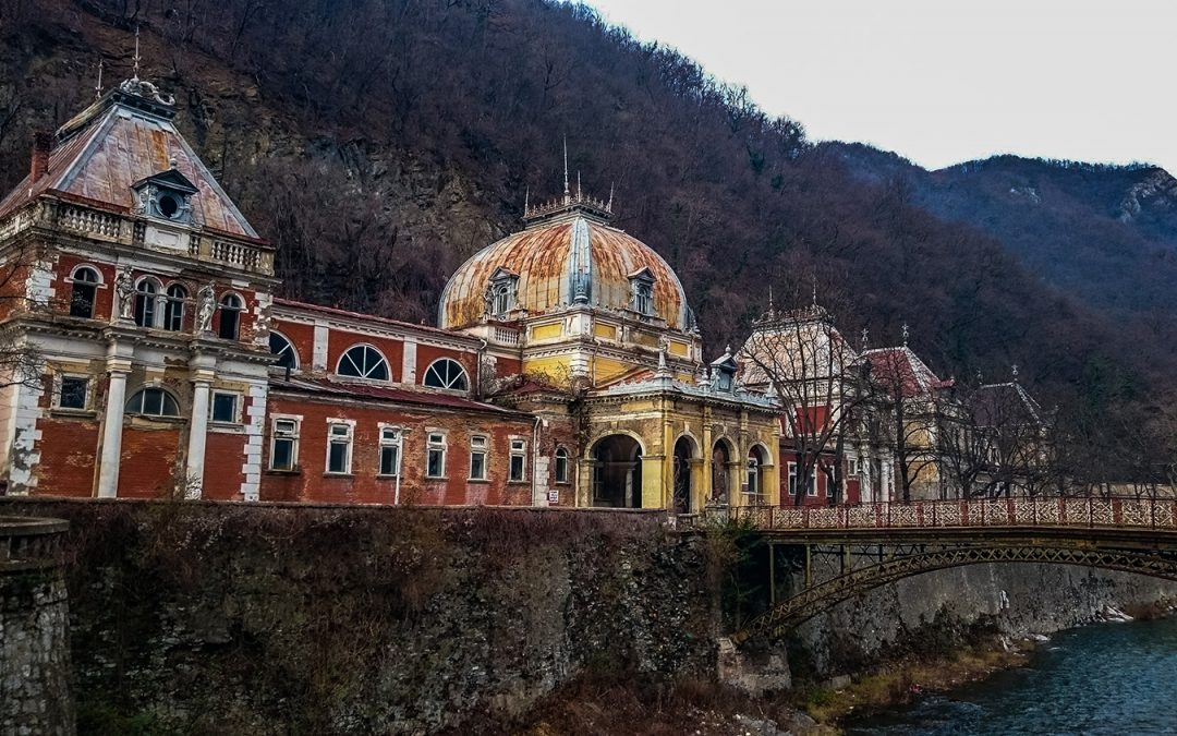
Photo after 146.5 km
Herulesfürdő
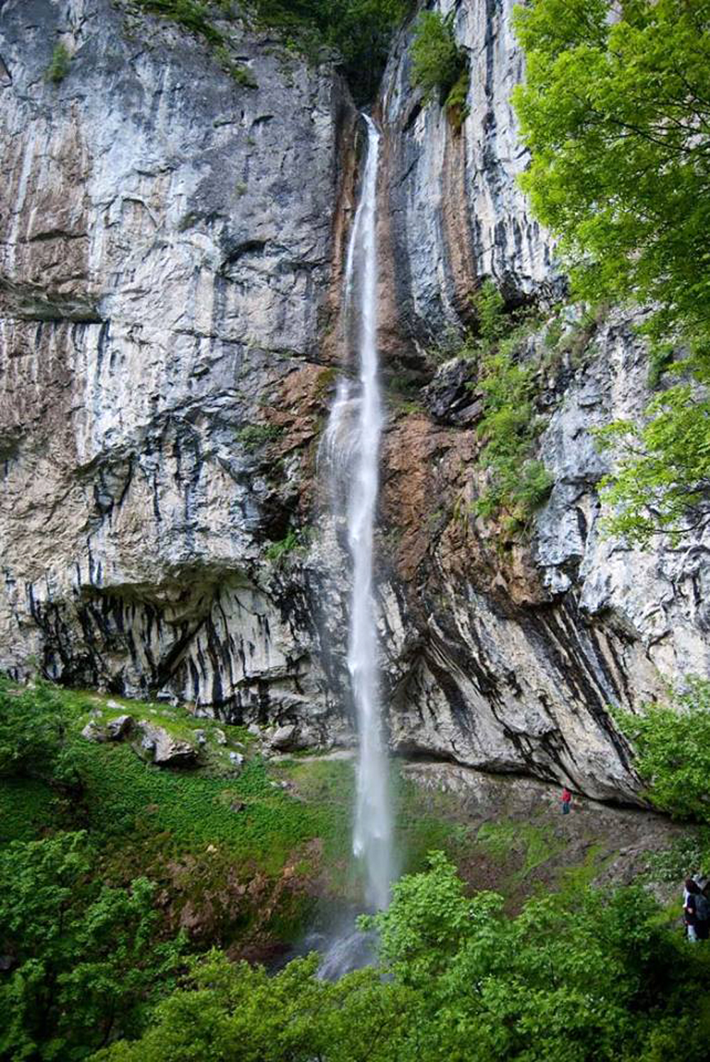
Photo after 146.5 km
cascada vanturatoarea vízesés
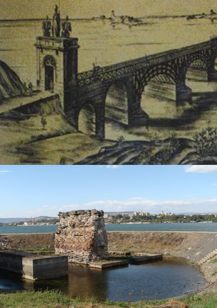
Photo after 172.9 km
Traianus hidja.
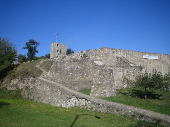
Photo after 172.9 km
Szörényvár
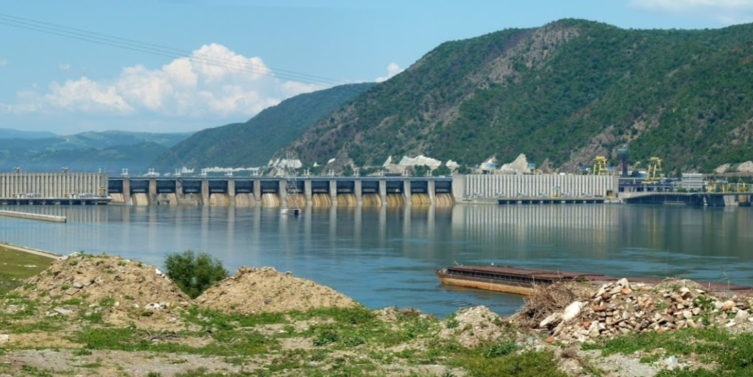
Photo after 187.7 km
1. erőmű.
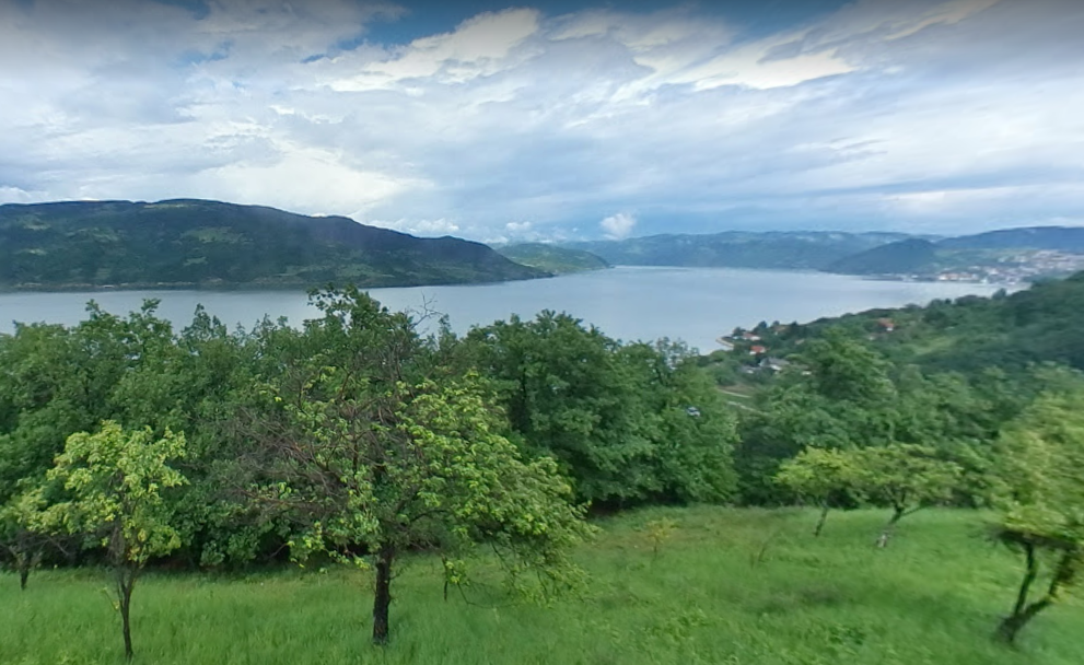
Photo after 243.2 km
Kilátópont Kapetan misin berg étterem kertjéből.
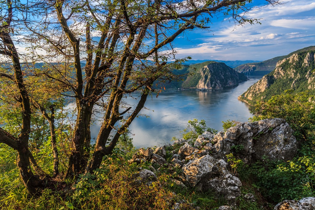
Photo after 257.9 km
Djerdap-Nemzeti-park
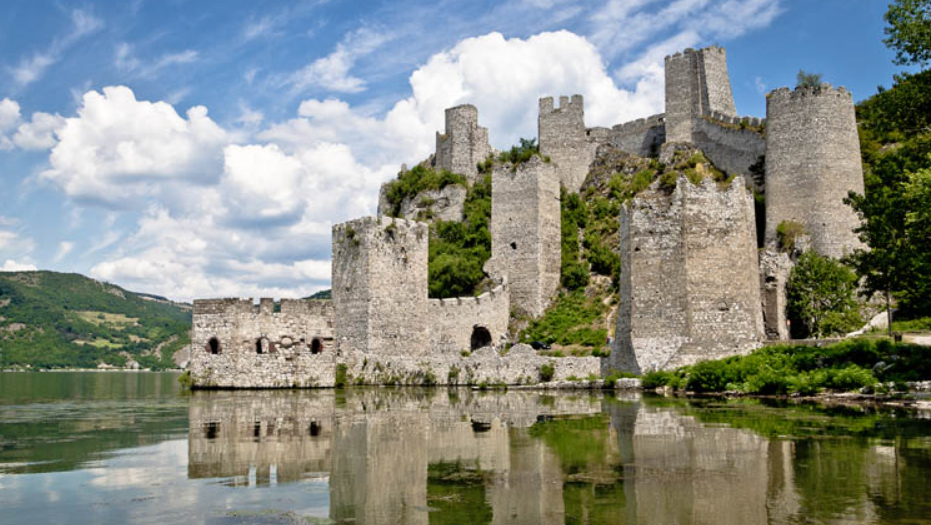
Photo after 293.9 km
Galambóc vára

Photo after 296.4 km
Kilátópont, a Galambóci várnál. GPS: 44.659088, 21.673975
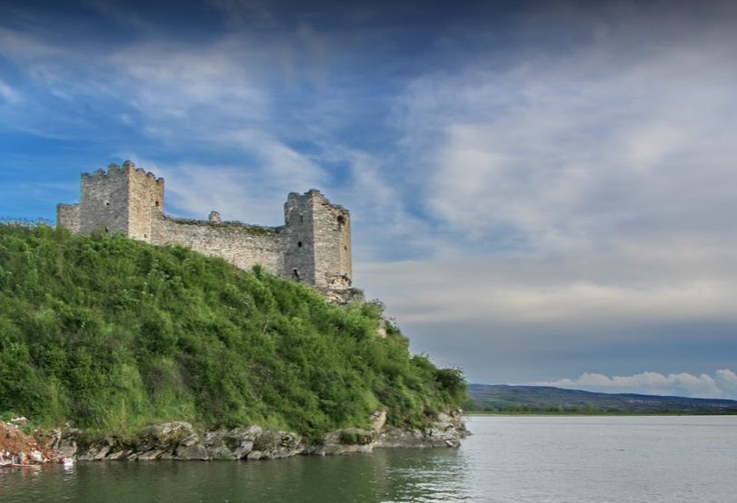
Photo after 336.6 km
Ráma vára
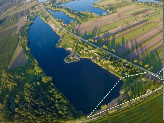
Photo after 344.9 km
Oázis kemping.
Continue with Bikemap
Use, edit, or download this cycling route
You would like to ride Kazán szoros or customize it for your own trip? Here is what you can do with this Bikemap route:
Free features
- Save this route as favorite or in collections
- Copy & plan your own version of this route
- Sync your route with Garmin or Wahoo
Premium features
Free trial for 3 days, or one-time payment. More about Bikemap Premium.
- Navigate this route on iOS & Android
- Export a GPX / KML file of this route
- Create your custom printout (try it for free)
- Download this route for offline navigation
Discover more Premium features.
Get Bikemap PremiumFrom our community
Other popular routes starting in Bela Crkva
 26 Juin 2011 - Serbie : Kajtasovo - Mala Orlova
- Distance
- 75.5 km
- Ascent
- 272 m
- Descent
- 279 m
- Location
- Bela Crkva, Vojvodina, Serbia
 Bela Crkva, Vila Marija - Golubac
- Distance
- 52.7 km
- Ascent
- 224 m
- Descent
- 204 m
- Location
- Bela Crkva, Vojvodina, Serbia
 2011_BalkanTris
- Distance
- 675.6 km
- Ascent
- 2,819 m
- Descent
- 2,819 m
- Location
- Bela Crkva, Vojvodina, Serbia
 Bela Crkva okruh
- Distance
- 35.5 km
- Ascent
- 242 m
- Descent
- 244 m
- Location
- Bela Crkva, Vojvodina, Serbia
 GRD - Optional off route to visit Bigar waterfall
- Distance
- 179.1 km
- Ascent
- 1,369 m
- Descent
- 1,358 m
- Location
- Bela Crkva, Vojvodina, Serbia
 Bela Crkva - Ram - Veliko Gradiště - Ram
- Distance
- 47.6 km
- Ascent
- 352 m
- Descent
- 353 m
- Location
- Bela Crkva, Vojvodina, Serbia
 bela crkva to donji milanovac (stage 9)along danube
- Distance
- 112.8 km
- Ascent
- 523 m
- Descent
- 475 m
- Location
- Bela Crkva, Vojvodina, Serbia
 Bela Crvka - Drobeta Turnu Severin
- Distance
- 198.2 km
- Ascent
- 2,417 m
- Descent
- 2,437 m
- Location
- Bela Crkva, Vojvodina, Serbia
Open it in the app

