

P-Biel/Solothurn (63km) cycle paths
A cycling route starting in Biel/Bienne, Canton of Bern, Switzerland.
Overview
About this route
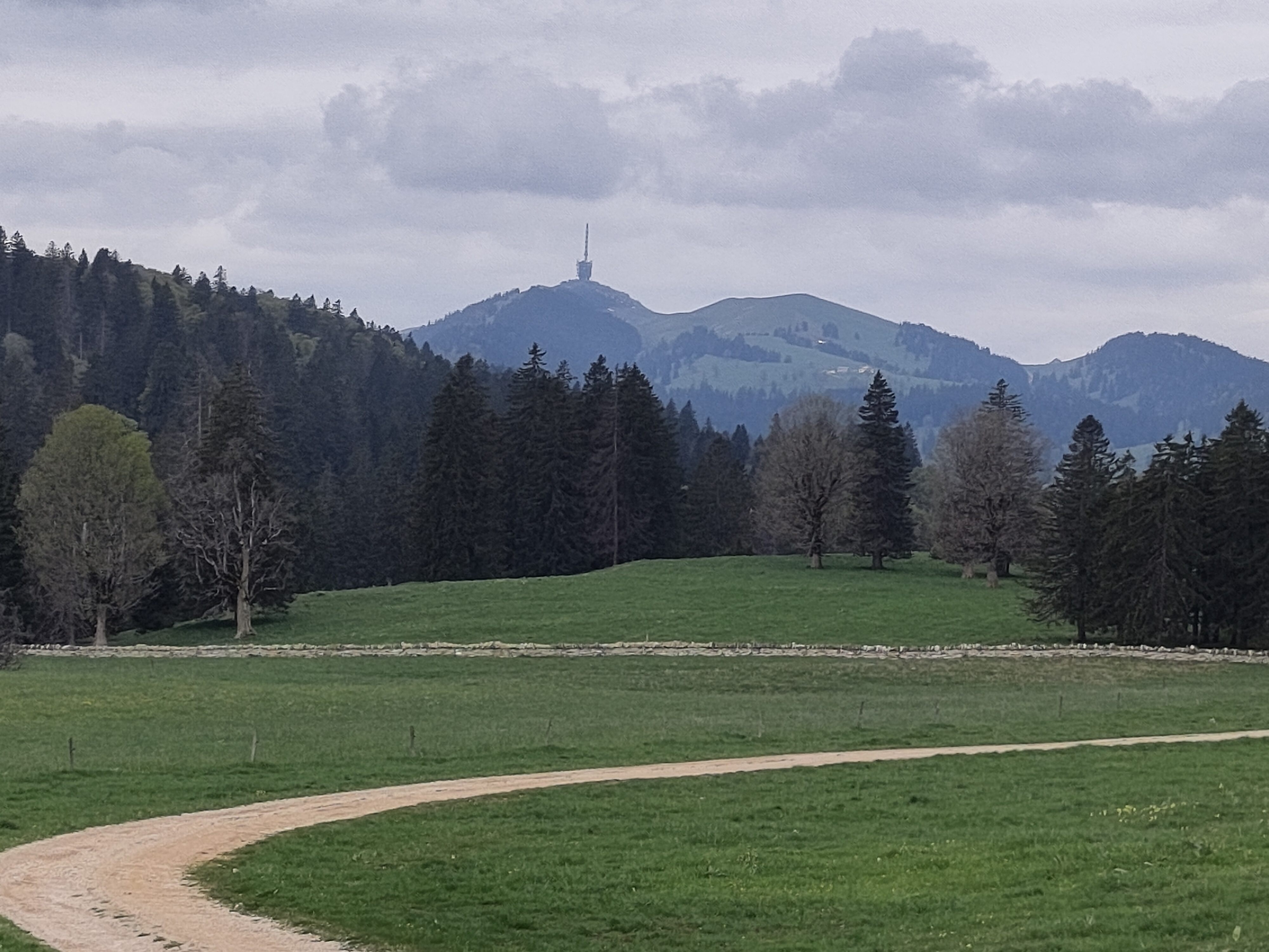
Touristic route to go to Solothurn from Biel/Bienne; it's good if you want to avoid traffic, but it's really "touristic". On a Sunday sunny afternoon, there are lot of families and kids with their bicycles. Also, direction Solothurn very often it's necessary to be very careful (and stop) to cross main roads. From Solothurn, back to Biel/Bienne, the route is mainly off-road (it's possible to do with a road bike if it's sunny and dry).
- -:--
- Duration
- 62.2 km
- Distance
- 99 m
- Ascent
- 97 m
- Descent
- ---
- Avg. speed
- ---
- Avg. speed

Route quality
Waytypes & surfaces along the route
Waytypes
Quiet road
27.9 km
(45 %)
Track
12.4 km
(20 %)
Surfaces
Paved
43.4 km
(70 %)
Unpaved
11.7 km
(19 %)
Asphalt
39.8 km
(64 %)
Gravel
9.5 km
(15 %)
Continue with Bikemap
Use, edit, or download this cycling route
You would like to ride P-Biel/Solothurn (63km) cycle paths or customize it for your own trip? Here is what you can do with this Bikemap route:
Free features
- Save this route as favorite or in collections
- Copy & plan your own version of this route
- Sync your route with Garmin or Wahoo
Premium features
Free trial for 3 days, or one-time payment. More about Bikemap Premium.
- Navigate this route on iOS & Android
- Export a GPX / KML file of this route
- Create your custom printout (try it for free)
- Download this route for offline navigation
Discover more Premium features.
Get Bikemap PremiumFrom our community
Other popular routes starting in Biel/Bienne
 P-Biel/Bienne tour 1.5hrs v4 (31 km)
- Distance
- 31.8 km
- Ascent
- 286 m
- Descent
- 285 m
- Location
- Biel/Bienne, Canton of Bern, Switzerland
 P-Biel/Corgémont/Orvin/Biel (Bridge of the Anabaptists) 40km
- Distance
- 40.4 km
- Ascent
- 1,718 m
- Descent
- 1,717 m
- Location
- Biel/Bienne, Canton of Bern, Switzerland
 P-Biel/Twann/Lignières/CHASSERAL/Nods/Orvin/Evilard (62 km)
- Distance
- 62.8 km
- Ascent
- 1,389 m
- Descent
- 1,386 m
- Location
- Biel/Bienne, Canton of Bern, Switzerland
 47°Nord Tour de Suisse Etappe 1
- Distance
- 91.5 km
- Ascent
- 225 m
- Descent
- 172 m
- Location
- Biel/Bienne, Canton of Bern, Switzerland
 P-Biel/Grenchen/Plagne (31km)
- Distance
- 30.9 km
- Ascent
- 538 m
- Descent
- 536 m
- Location
- Biel/Bienne, Canton of Bern, Switzerland
 Biel - Saisselin - Jobert - Biel
- Distance
- 38.5 km
- Ascent
- 1,292 m
- Descent
- 1,293 m
- Location
- Biel/Bienne, Canton of Bern, Switzerland
 P-Biel/Aetigkofen (70km)
- Distance
- 70.4 km
- Ascent
- 753 m
- Descent
- 749 m
- Location
- Biel/Bienne, Canton of Bern, Switzerland
 P-Biel/Bienne tour 1.5hrs v3 (29 km)
- Distance
- 29.5 km
- Ascent
- 275 m
- Descent
- 274 m
- Location
- Biel/Bienne, Canton of Bern, Switzerland
Open it in the app