

Hranice, Rep Tcheque / Uherské Hradiště, Rep Thcheque
A cycling route starting in Hranice, Olomoucký kraj, Czechia.
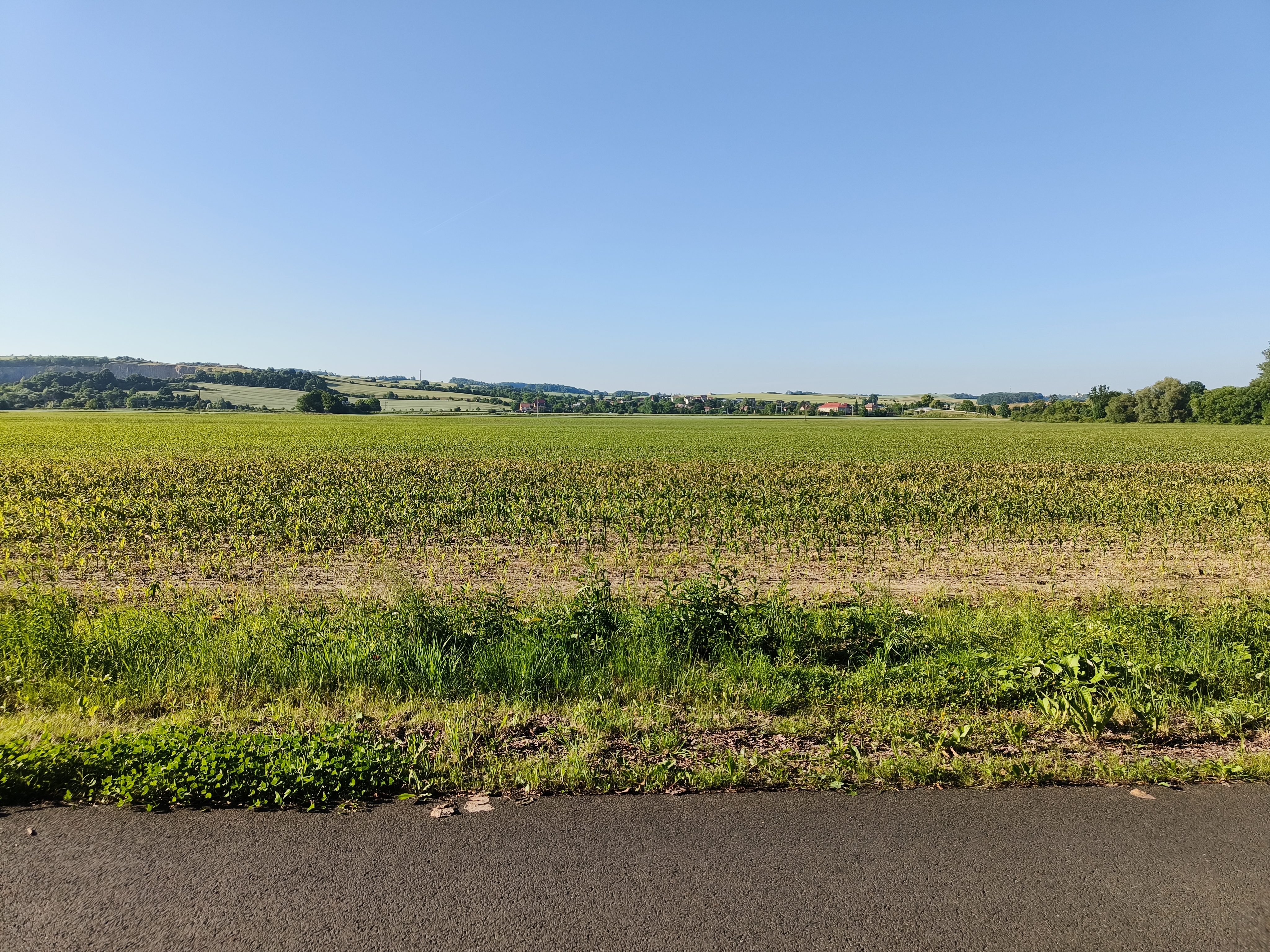
Overview
About this route
Hotel Morava hotelmorava-uh.cz
Šafaříkova 855, Uherské Hradiště, 686 01, République tchèque
- -:--
- Duration
- 93.3 km
- Distance
- 203 m
- Ascent
- 342 m
- Descent
- ---
- Avg. speed
- ---
- Avg. speed

Route quality
Waytypes & surfaces along the route
Waytypes
Cycleway
30.5 km
(33 %)
Road
18.2 km
(20 %)
Surfaces
Paved
57.2 km
(61 %)
Unpaved
7.2 km
(8 %)
Asphalt
53.6 km
(57 %)
Gravel
5.1 km
(5 %)
Continue with Bikemap
Use, edit, or download this cycling route
You would like to ride Hranice, Rep Tcheque / Uherské Hradiště, Rep Thcheque or customize it for your own trip? Here is what you can do with this Bikemap route:
Free features
- Save this route as favorite or in collections
- Copy & plan your own version of this route
- Sync your route with Garmin or Wahoo
Premium features
Free trial for 3 days, or one-time payment. More about Bikemap Premium.
- Navigate this route on iOS & Android
- Export a GPX / KML file of this route
- Create your custom printout (try it for free)
- Download this route for offline navigation
Discover more Premium features.
Get Bikemap PremiumFrom our community
Other popular routes starting in Hranice
 10 ETAP 5 czerwca niedziela
- Distance
- 135.9 km
- Ascent
- 658 m
- Descent
- 608 m
- Location
- Hranice, Olomoucký kraj, Czechia
 Hranice_na_Morave-Tesak-Mikulcin_Vrch-Kohutka-Kasarne-Makov-Bumbalka-Pustevny-Goleszów 4-5d - ??
- Distance
- 357.2 km
- Ascent
- 3,381 m
- Descent
- 3,324 m
- Location
- Hranice, Olomoucký kraj, Czechia
 Struhlovsko do Struhlovsko
- Distance
- 29.7 km
- Ascent
- 416 m
- Descent
- 410 m
- Location
- Hranice, Olomoucký kraj, Czechia
 Hranice na Morave - Breclav
- Distance
- 170.9 km
- Ascent
- 385 m
- Descent
- 509 m
- Location
- Hranice, Olomoucký kraj, Czechia
 Do Špiček a zpět
- Distance
- 26.4 km
- Ascent
- 200 m
- Descent
- 258 m
- Location
- Hranice, Olomoucký kraj, Czechia
 Hranice - Přerov na kole kolem Bečvy
- Distance
- 29.4 km
- Ascent
- 101 m
- Descent
- 147 m
- Location
- Hranice, Olomoucký kraj, Czechia
 Do Týna na pivo přes Týn a Maleník
- Distance
- 28.3 km
- Ascent
- 437 m
- Descent
- 437 m
- Location
- Hranice, Olomoucký kraj, Czechia
 Svatební cesta do Jiljí den sedmý
- Distance
- 71.3 km
- Ascent
- 278 m
- Descent
- 225 m
- Location
- Hranice, Olomoucký kraj, Czechia
Open it in the app