

P-BielerSee (85km)
A cycling route starting in Biel/Bienne, Canton of Bern, Switzerland.
Overview
About this route
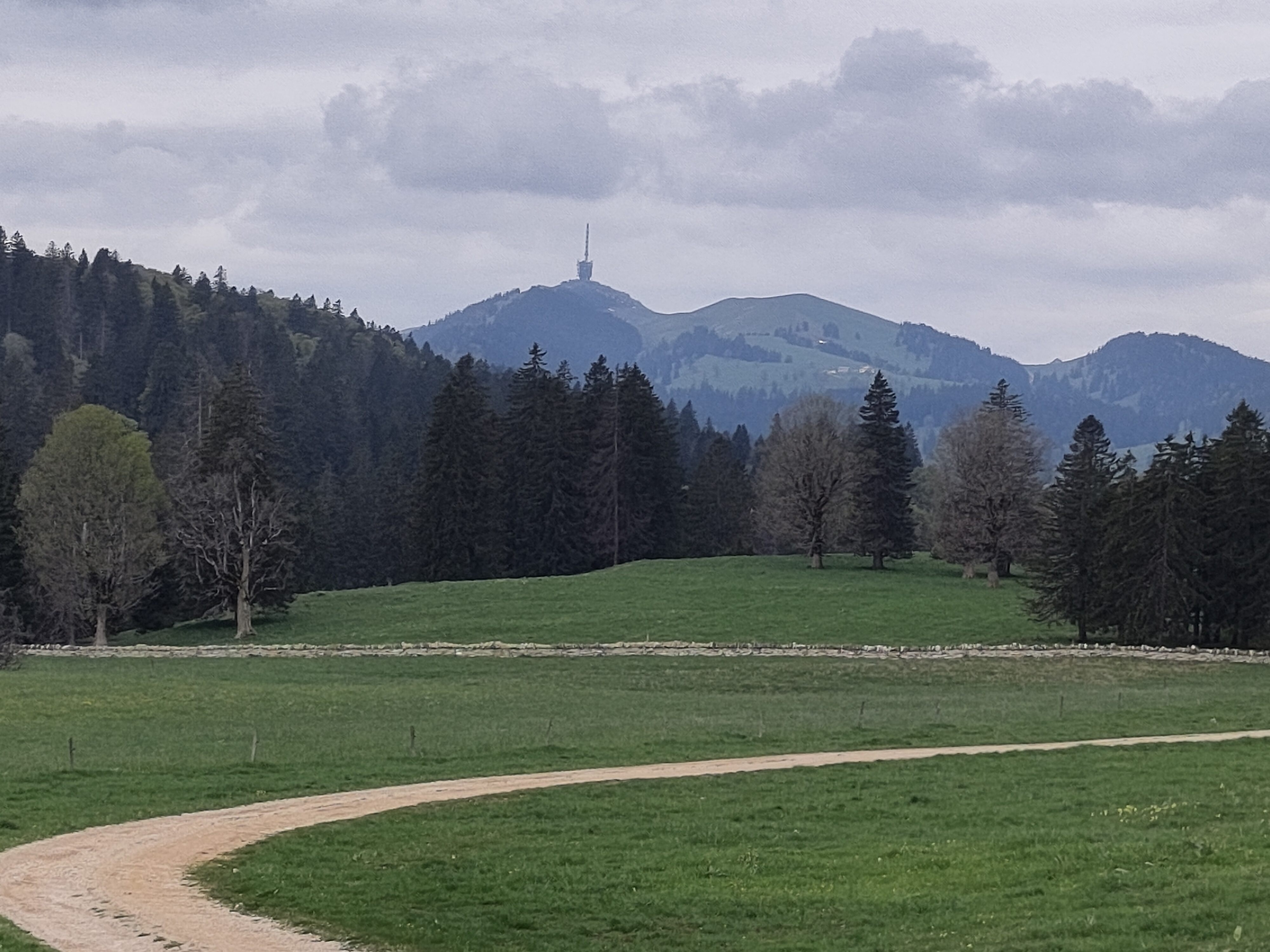
Very nice route, all paved. Only bad point is that there are few kilometers on cantonal road (around km 28 at Kerzers), with some cars around. The area starting at km 37 (Vully) is really lovely. Second half of the route starts with climb (4,5km) to Lignières, then is again up&down (especially climb till Evilard) and wonderful fast downhill to Biel/Bienne.
- -:--
- Duration
- 84.7 km
- Distance
- 736 m
- Ascent
- 734 m
- Descent
- ---
- Avg. speed
- ---
- Avg. speed

Route quality
Waytypes & surfaces along the route
Waytypes
Busy road
35.6 km
(42 %)
Road
28.9 km
(34 %)
Surfaces
Paved
57.6 km
(68 %)
Unpaved
0.6 km
(<1 %)
Asphalt
49.5 km
(58 %)
Paved (undefined)
8.1 km
(10 %)
Continue with Bikemap
Use, edit, or download this cycling route
You would like to ride P-BielerSee (85km) or customize it for your own trip? Here is what you can do with this Bikemap route:
Free features
- Save this route as favorite or in collections
- Copy & plan your own version of this route
- Sync your route with Garmin or Wahoo
Premium features
Free trial for 3 days, or one-time payment. More about Bikemap Premium.
- Navigate this route on iOS & Android
- Export a GPX / KML file of this route
- Create your custom printout (try it for free)
- Download this route for offline navigation
Discover more Premium features.
Get Bikemap PremiumFrom our community
Other popular routes starting in Biel/Bienne
 Biel-Gurnigel
- Distance
- 140.6 km
- Ascent
- 1,682 m
- Descent
- 1,681 m
- Location
- Biel/Bienne, Canton of Bern, Switzerland
 P-Biel/Twann/Lignières/CHASSERAL/Nods/Orvin/Evilard (62 km)
- Distance
- 62.8 km
- Ascent
- 1,389 m
- Descent
- 1,386 m
- Location
- Biel/Bienne, Canton of Bern, Switzerland
 P-Biel/Corgémont/Orvin/Biel (Bridge of the Anabaptists) 40km
- Distance
- 40.4 km
- Ascent
- 1,718 m
- Descent
- 1,717 m
- Location
- Biel/Bienne, Canton of Bern, Switzerland
 P-Biel/Bienne tour 1.5hrs v4 (31 km)
- Distance
- 31.8 km
- Ascent
- 286 m
- Descent
- 285 m
- Location
- Biel/Bienne, Canton of Bern, Switzerland
 P-Biel/Bienne tour 1.5hrs v2 (28 km)
- Distance
- 28.3 km
- Ascent
- 295 m
- Descent
- 294 m
- Location
- Biel/Bienne, Canton of Bern, Switzerland
 Biel - Saisselin - Jobert - Biel
- Distance
- 38.5 km
- Ascent
- 1,292 m
- Descent
- 1,293 m
- Location
- Biel/Bienne, Canton of Bern, Switzerland
 P-Biel/Bienne tour 1.5hrs (28 km)
- Distance
- 28.2 km
- Ascent
- 295 m
- Descent
- 295 m
- Location
- Biel/Bienne, Canton of Bern, Switzerland
 P-Biel/Grenchen/Plagne (31km)
- Distance
- 30.9 km
- Ascent
- 538 m
- Descent
- 536 m
- Location
- Biel/Bienne, Canton of Bern, Switzerland
Open it in the app