
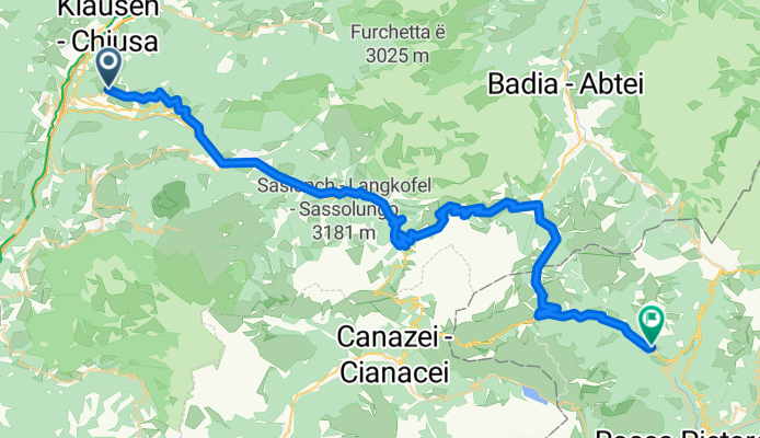
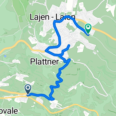
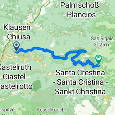
Laion - Grödner Joch - Campolongopass - Livinallongo del Col di Lana
A cycling route starting in Lajen, Trentino-Alto Adige, Italy.
Overview
About this route
<span style="color: #000000; font-family: Times; font-size: medium;"> <div style="background-image: initial; background-repeat: initial; background-attachment: initial; -webkit-background-clip: initial; -webkit-background-origin: initial; background-color: #ffffff; color: #535353; font-family: Verdana, Arial, Helvetica, sans-serif; font-size: 10px; background-position: initial initial; margin: 8px;">
<span style="color: #000000; font-family: Times; font-size: medium;"> <div style="background-image: initial; background-repeat: initial; background-attachment: initial; -webkit-background-clip: initial; -webkit-background-origin: initial; background-color: #ffffff; color: #535353; font-family: Verdana, Arial, Helvetica, sans-serif; font-size: 10px; background-position: initial initial; margin: 8px;">
<span style="font-family: 'Lucida Grande'; font-size: 11px; white-space: pre;">Laion - Grödner Joch - Campolongopass - </span>
<span style="font-family: 'Lucida Grande'; font-size: 11px; white-space: pre;">Livinallongo del Col di Lana</span> </div> </span>
</div> </span>
- -:--
- Duration
- 56.5 km
- Distance
- 1,552 m
- Ascent
- 1,156 m
- Descent
- ---
- Avg. speed
- ---
- Avg. speed
Route quality
Waytypes & surfaces along the route
Waytypes
Busy road
48.3 km
(86 %)
Quiet road
3.2 km
(6 %)
Surfaces
Paved
46.4 km
(82 %)
Unpaved
1.8 km
(3 %)
Asphalt
46.2 km
(82 %)
Unpaved (undefined)
0.7 km
(1 %)
Continue with Bikemap
Use, edit, or download this cycling route
You would like to ride Laion - Grödner Joch - Campolongopass - Livinallongo del Col di Lana or customize it for your own trip? Here is what you can do with this Bikemap route:
Free features
- Save this route as favorite or in collections
- Copy & plan your own version of this route
- Sync your route with Garmin or Wahoo
Premium features
Free trial for 3 days, or one-time payment. More about Bikemap Premium.
- Navigate this route on iOS & Android
- Export a GPX / KML file of this route
- Create your custom printout (try it for free)
- Download this route for offline navigation
Discover more Premium features.
Get Bikemap PremiumFrom our community
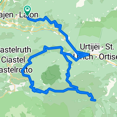
Other popular routes starting in Lajen
 Lajen 03 55.5 Seiseralm Pufels
- Distance
- 55.5 km
- Ascent
- 2,066 m
- Descent
- 2,067 m
- Location
- Lajen, Trentino-Alto Adige, Italy
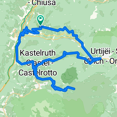
 St. Peter-St. Ulrich-Raschötz-St. Peter
- Distance
- 23.2 km
- Ascent
- 1,123 m
- Descent
- 1,123 m
- Location
- Lajen, Trentino-Alto Adige, Italy
 Sellaronda von St. Peter aus
- Distance
- 91.4 km
- Ascent
- 2,969 m
- Descent
- 2,882 m
- Location
- Lajen, Trentino-Alto Adige, Italy
 seiseralm
- Distance
- 56.8 km
- Ascent
- 1,951 m
- Descent
- 1,951 m
- Location
- Lajen, Trentino-Alto Adige, Italy
 Gornegg-Lajen 001
- Distance
- 2.4 km
- Ascent
- 276 m
- Descent
- 12 m
- Location
- Lajen, Trentino-Alto Adige, Italy
 Laion - Grödner Joch - Campolongopass - Livinallongo del Col di Lana
- Distance
- 56.5 km
- Ascent
- 1,552 m
- Descent
- 1,156 m
- Location
- Lajen, Trentino-Alto Adige, Italy
 Ronda Trentino - 1. Tag
- Distance
- 27.5 km
- Ascent
- 1,795 m
- Descent
- 854 m
- Location
- Lajen, Trentino-Alto Adige, Italy
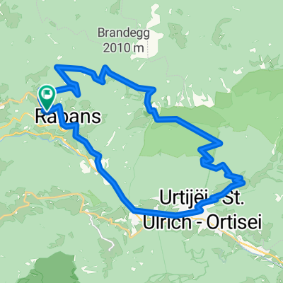
 IT-ST-Ulrich, Sella Ronda
- Distance
- 91.1 km
- Ascent
- 2,485 m
- Descent
- 2,481 m
- Location
- Lajen, Trentino-Alto Adige, Italy
Open it in the app