

Mülheim Wasserbahnhof -Kettwig - Mülheim Wasserbahnhof
A cycling route starting in Mülheim, North Rhine-Westphalia, Germany.
Overview
About this route
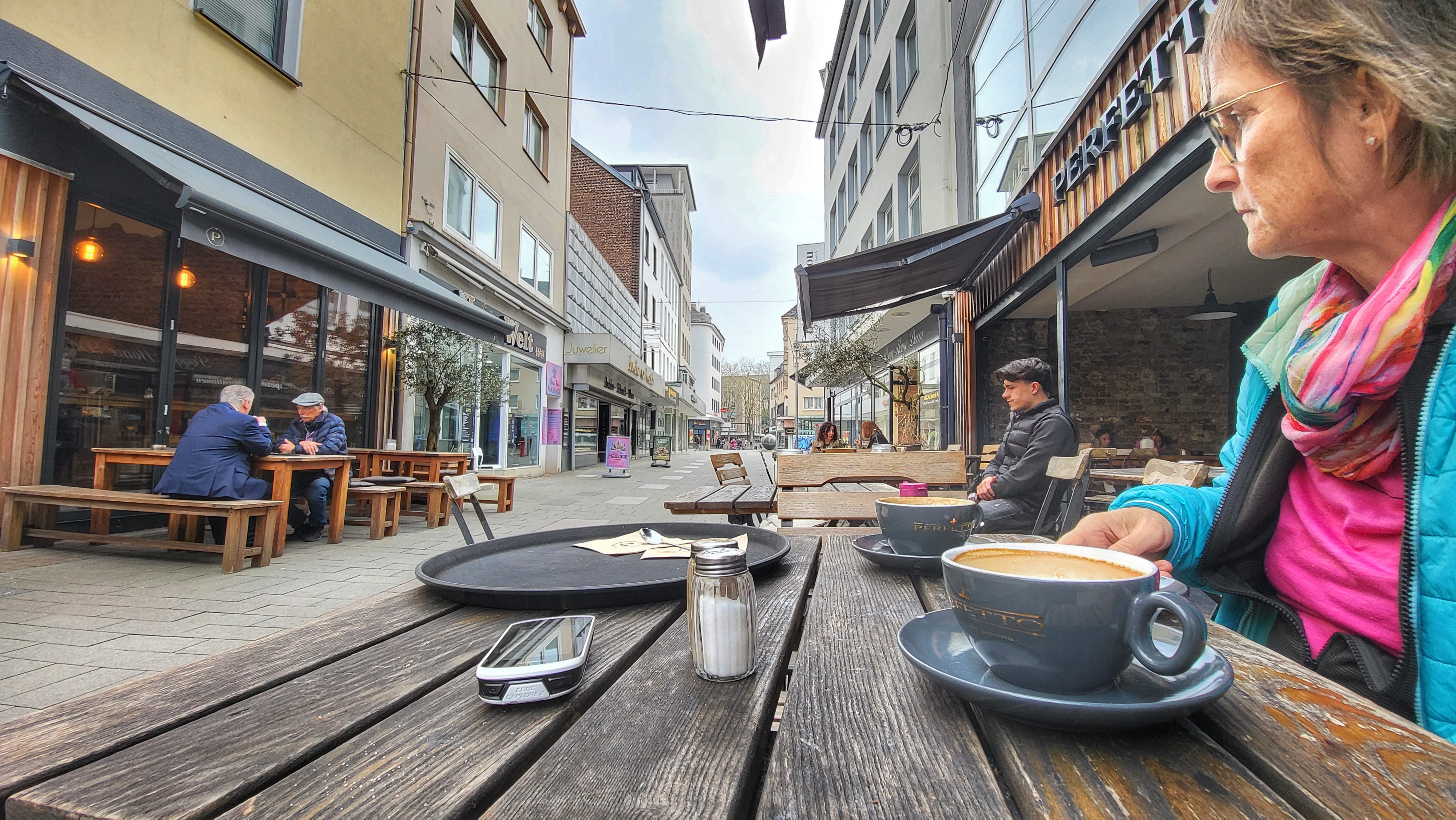
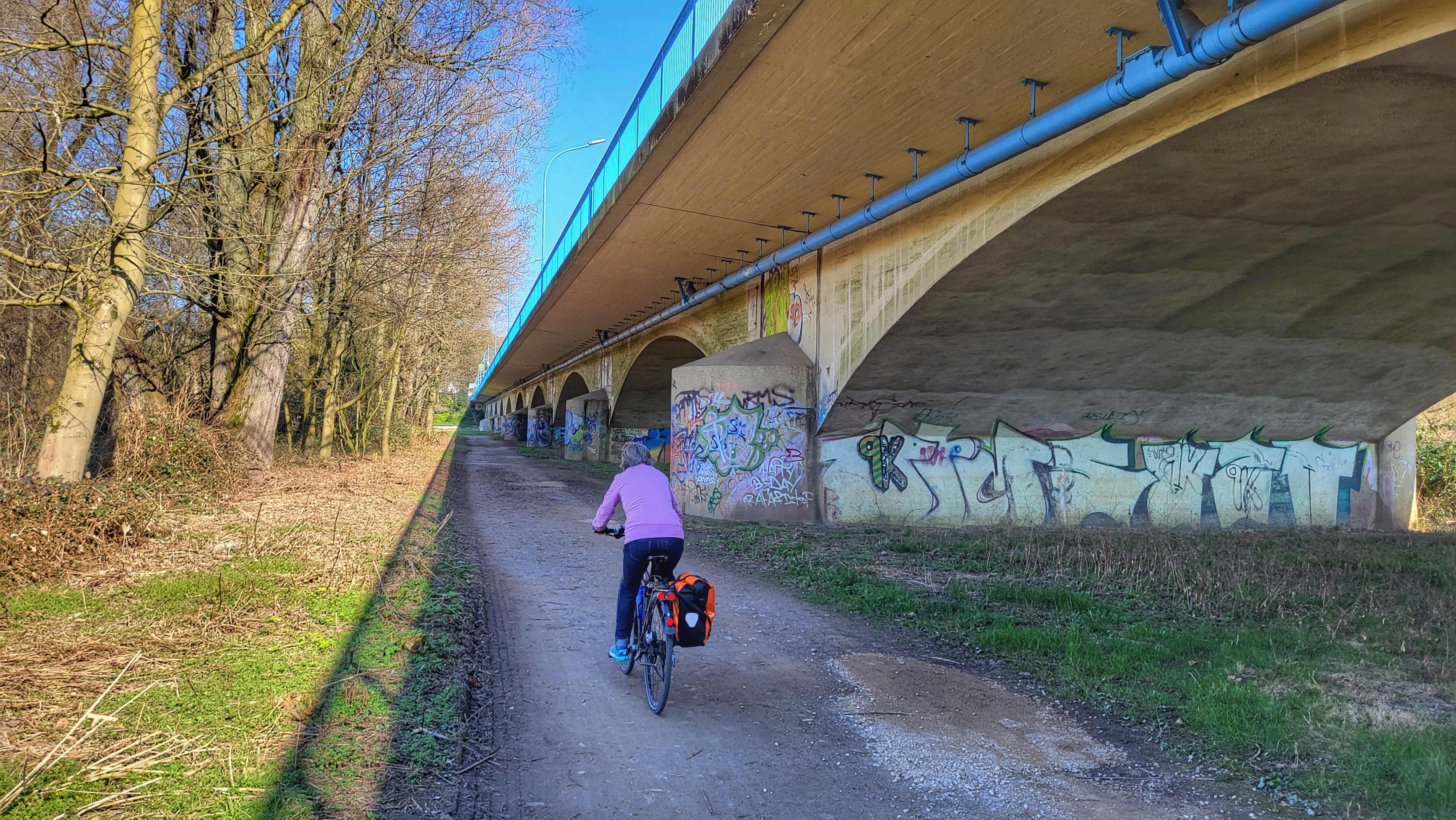
Nach Kettwig geht es rechts der Ruhr entlang.
Zurück dann links der Ruhr am Leinpfad entlang.
- -:--
- Duration
- 19.9 km
- Distance
- 78 m
- Ascent
- 77 m
- Descent
- ---
- Avg. speed
- ---
- Avg. speed

Route quality
Waytypes & surfaces along the route
Waytypes
Track
10.7 km
(54 %)
Quiet road
3 km
(15 %)
Surfaces
Paved
18.2 km
(92 %)
Unpaved
1.1 km
(6 %)
Asphalt
17.8 km
(89 %)
Gravel
1.1 km
(5 %)
Continue with Bikemap
Use, edit, or download this cycling route
You would like to ride Mülheim Wasserbahnhof -Kettwig - Mülheim Wasserbahnhof or customize it for your own trip? Here is what you can do with this Bikemap route:
Free features
- Save this route as favorite or in collections
- Copy & plan your own version of this route
- Sync your route with Garmin or Wahoo
Premium features
Free trial for 3 days, or one-time payment. More about Bikemap Premium.
- Navigate this route on iOS & Android
- Export a GPX / KML file of this route
- Create your custom printout (try it for free)
- Download this route for offline navigation
Discover more Premium features.
Get Bikemap PremiumFrom our community
Other popular routes starting in Mülheim
 "Berg und Tal" - 2 Stunden Training
- Distance
- 41.1 km
- Ascent
- 522 m
- Descent
- 538 m
- Location
- Mülheim, North Rhine-Westphalia, Germany
 Einkaufsrunde in Mülheim
- Distance
- 5 km
- Ascent
- 24 m
- Descent
- 16 m
- Location
- Mülheim, North Rhine-Westphalia, Germany
 Auf dem Esel
- Distance
- 30.7 km
- Ascent
- 240 m
- Descent
- 261 m
- Location
- Mülheim, North Rhine-Westphalia, Germany
 Grüne Runde
- Distance
- 23.7 km
- Ascent
- 99 m
- Descent
- 97 m
- Location
- Mülheim, North Rhine-Westphalia, Germany
 Zurück zum Womo nach Saarn
- Distance
- 3.2 km
- Ascent
- 7 m
- Descent
- 13 m
- Location
- Mülheim, North Rhine-Westphalia, Germany
 berg und Tal
- Distance
- 46.5 km
- Ascent
- 949 m
- Descent
- 1,004 m
- Location
- Mülheim, North Rhine-Westphalia, Germany
 Über stillgelegte Bahnstrecken
- Distance
- 58.1 km
- Ascent
- 91 m
- Descent
- 91 m
- Location
- Mülheim, North Rhine-Westphalia, Germany
 Kloster Saarn und Wasserbahnhof Mintard
- Distance
- 13.4 km
- Ascent
- 19 m
- Descent
- 17 m
- Location
- Mülheim, North Rhine-Westphalia, Germany
Open it in the app