

Über Amzell nach Unterlangnau und zurück
A cycling route starting in Wangen im Allgäu, Baden-Württemberg, Germany.
Overview
About this route
Auf Nebenstraßen und Radwegen über Amtzell und Obereisenbach nach Laimnau.
In Laimnau geht's an Argen enlang und über Bernried, Neukirch und Haslach zurück nach Wangen.
Bei Krumbach führt ein ca. 300 Meter langes Stück über einen Wiesenweg, ansonsten ist die gesamte Strecke asphaltiert.
- -:--
- Duration
- 49.7 km
- Distance
- 353 m
- Ascent
- 355 m
- Descent
- ---
- Avg. speed
- ---
- Avg. speed

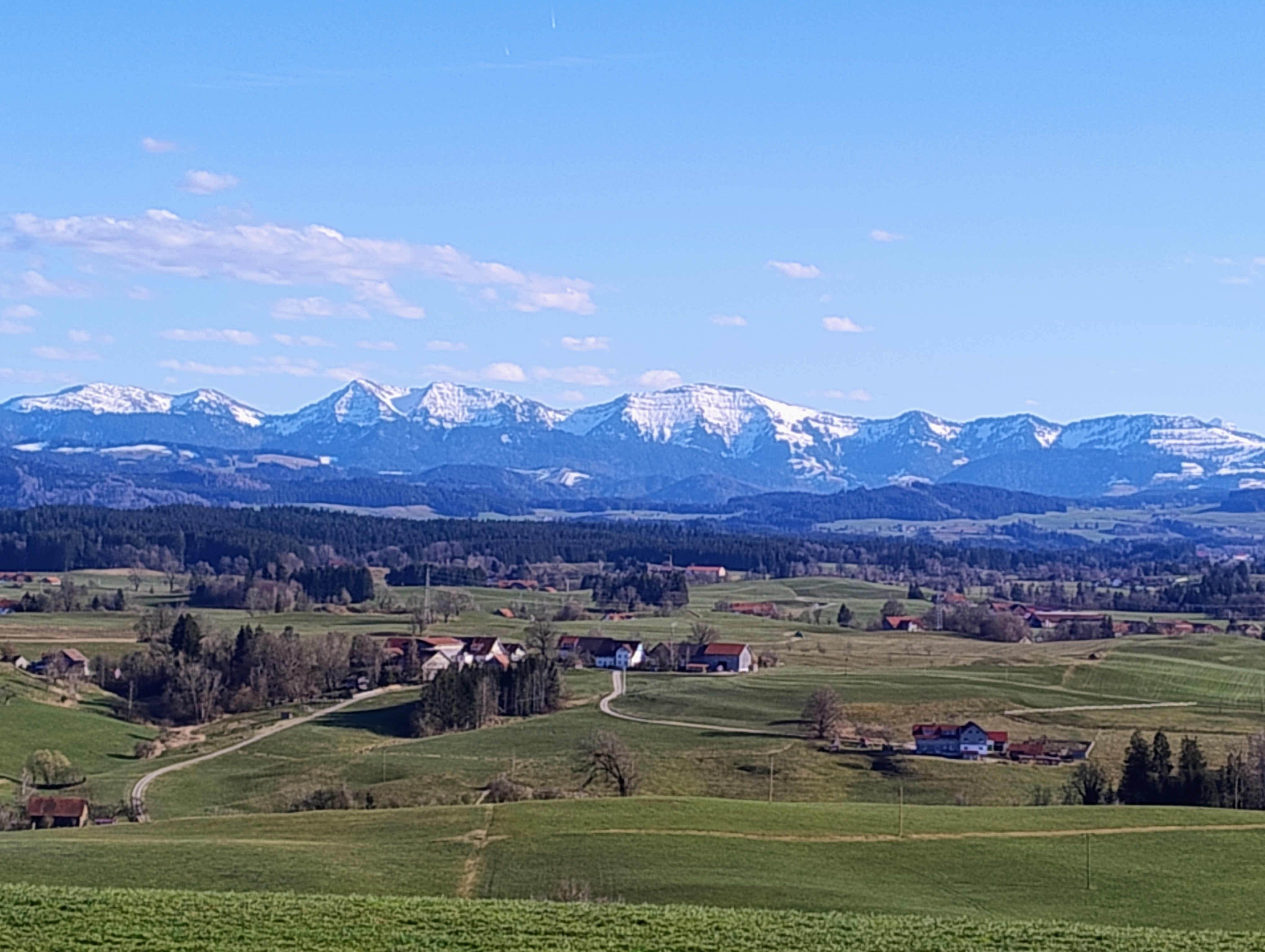
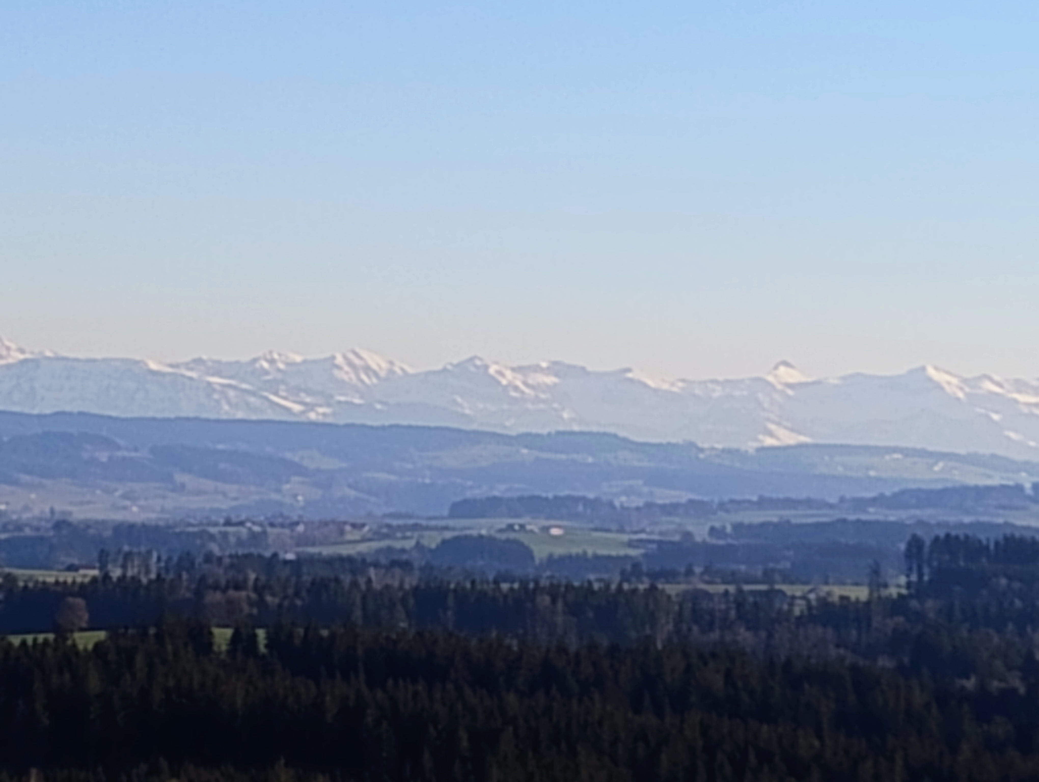
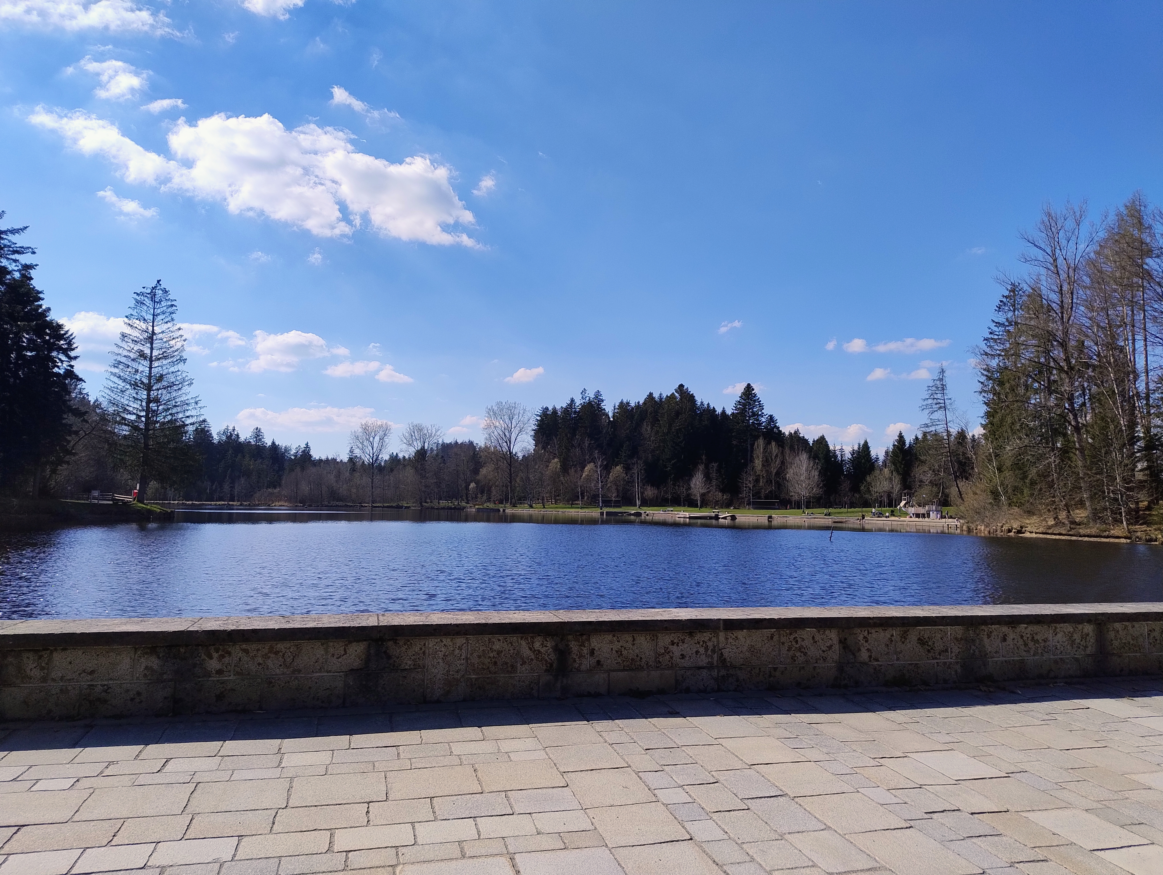
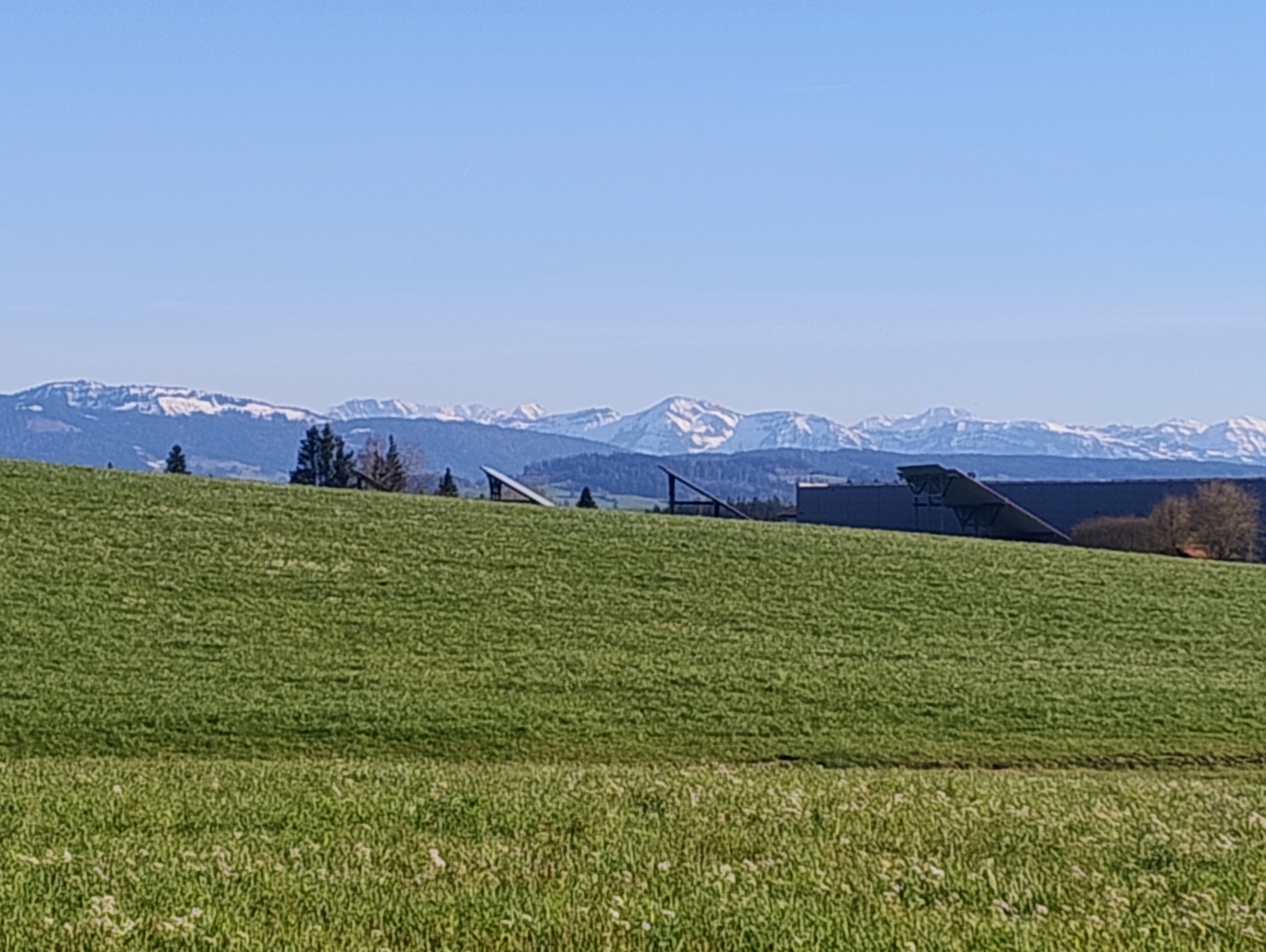
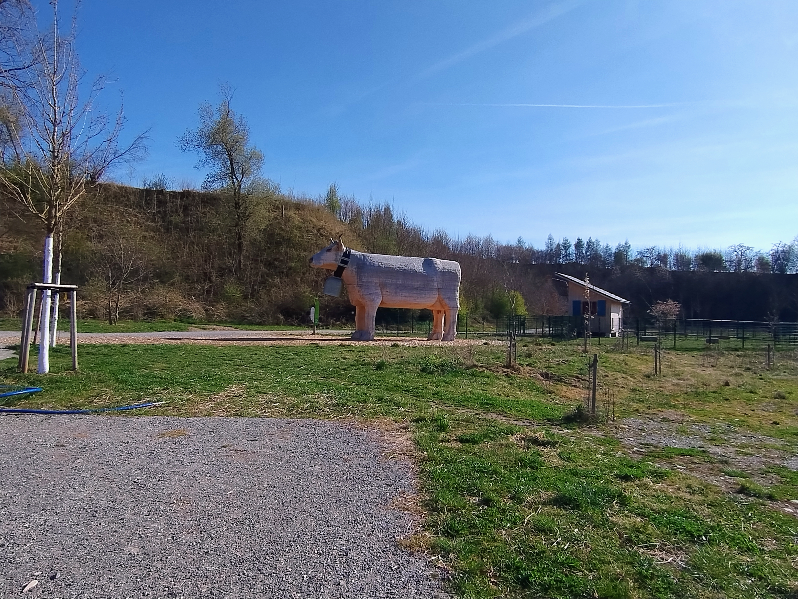
Route photos


Route quality
Waytypes & surfaces along the route
Waytypes
Quiet road
30 km
(60 %)
Road
9.7 km
(20 %)
Surfaces
Paved
39 km
(78 %)
Unpaved
0.8 km
(2 %)
Asphalt
39 km
(78 %)
Gravel
0.7 km
(1 %)
Continue with Bikemap
Use, edit, or download this cycling route
You would like to ride Über Amzell nach Unterlangnau und zurück or customize it for your own trip? Here is what you can do with this Bikemap route:
Free features
- Save this route as favorite or in collections
- Copy & plan your own version of this route
- Sync your route with Garmin or Wahoo
Premium features
Free trial for 3 days, or one-time payment. More about Bikemap Premium.
- Navigate this route on iOS & Android
- Export a GPX / KML file of this route
- Create your custom printout (try it for free)
- Download this route for offline navigation
Discover more Premium features.
Get Bikemap PremiumFrom our community
Other popular routes starting in Wangen im Allgäu
 63km Amtzell Kisslegg Siggen WG
- Distance
- 63.5 km
- Ascent
- 897 m
- Descent
- 907 m
- Location
- Wangen im Allgäu, Baden-Württemberg, Germany
 58km Amtzell-Kisslegg-Siggen-WG
- Distance
- 56.2 km
- Ascent
- 855 m
- Descent
- 854 m
- Location
- Wangen im Allgäu, Baden-Württemberg, Germany
 37km Riedhirsch - Lindenberg (Gravel)
- Distance
- 36.2 km
- Ascent
- 477 m
- Descent
- 477 m
- Location
- Wangen im Allgäu, Baden-Württemberg, Germany
 46km Ratzenried - Christatzhofen - Eisenharz - Eglofs (Gravel)
- Distance
- 46.4 km
- Ascent
- 805 m
- Descent
- 813 m
- Location
- Wangen im Allgäu, Baden-Württemberg, Germany
 Wangener Wiesenroute
- Distance
- 47.6 km
- Ascent
- 3,109 m
- Descent
- 3,680 m
- Location
- Wangen im Allgäu, Baden-Württemberg, Germany
 Deutsche Strassenmeisterschaft 2013 Frauen / Elite Männer
- Distance
- 42.2 km
- Ascent
- 415 m
- Descent
- 415 m
- Location
- Wangen im Allgäu, Baden-Württemberg, Germany
 Mountainbiketour 2014
- Distance
- 41 km
- Ascent
- 268 m
- Descent
- 274 m
- Location
- Wangen im Allgäu, Baden-Württemberg, Germany
 36km 2.x Riedhirsch - Lindenberg (Gravel)
- Distance
- 36.3 km
- Ascent
- 439 m
- Descent
- 426 m
- Location
- Wangen im Allgäu, Baden-Württemberg, Germany
Open it in the app