Kräutercafe nach Dahn
A cycling route starting in Bobenthal, Rhineland-Palatinate, Germany.
Overview
About this route
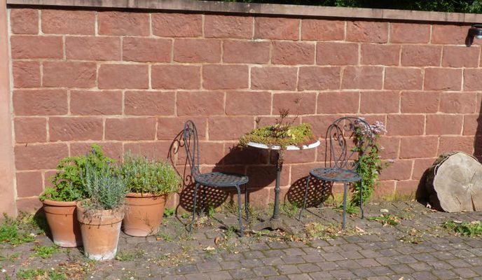
Start ist am Kräutercafe Nähe Weiler bei Weißenburg im Elsass. Dort ist ein öffentlicher Parkplatz.
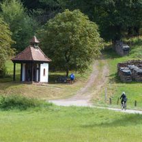
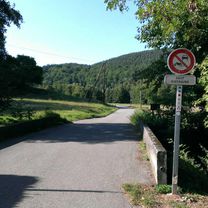
Der Radweg geht direkt vorbei und ist durchgängig geteert. Es gibt keine nennenswerten Steigungen, der Weg ist ausreichend breit und läuft im und am Waldrand entlang der Wieslauter mit schönem Blick auf Wiesen.
Nach der Rückkehr ist ein Besuch auf der Terasse des Kräutercafes, direkt neben der Wieslauter sehr zu empfehlen.
- -:--
- Duration
- 19.6 km
- Distance
- 0 m
- Ascent
- 167 m
- Descent
- ---
- Avg. speed
- ---
- Avg. speed
Route photos
Route quality
Waytypes & surfaces along the route
Waytypes
Track
11.6 km
(59 %)
Quiet road
5.8 km
(29 %)
Surfaces
Paved
16.2 km
(83 %)
Unpaved
0.4 km
(2 %)
Asphalt
14.7 km
(75 %)
Concrete
0.8 km
(4 %)
Continue with Bikemap
Use, edit, or download this cycling route
You would like to ride Kräutercafe nach Dahn or customize it for your own trip? Here is what you can do with this Bikemap route:
Free features
- Save this route as favorite or in collections
- Copy & plan your own version of this route
- Sync your route with Garmin or Wahoo
Premium features
Free trial for 3 days, or one-time payment. More about Bikemap Premium.
- Navigate this route on iOS & Android
- Export a GPX / KML file of this route
- Create your custom printout (try it for free)
- Download this route for offline navigation
Discover more Premium features.
Get Bikemap PremiumFrom our community
Other popular routes starting in Bobenthal
 HT Pfälzer Wald 2
- Distance
- 53.6 km
- Ascent
- 1,572 m
- Descent
- 1,573 m
- Location
- Bobenthal, Rhineland-Palatinate, Germany
 Germanshof 2017
- Distance
- 56.6 km
- Ascent
- 1,313 m
- Descent
- 1,313 m
- Location
- Bobenthal, Rhineland-Palatinate, Germany
 2013 Nordvogesen
- Distance
- 117.3 km
- Ascent
- 1,015 m
- Descent
- 1,015 m
- Location
- Bobenthal, Rhineland-Palatinate, Germany
 2013_1_Nordvogesen
- Distance
- 117.4 km
- Ascent
- 1,055 m
- Descent
- 1,056 m
- Location
- Bobenthal, Rhineland-Palatinate, Germany
 Germanshof ganz kurz
- Distance
- 41.3 km
- Ascent
- 950 m
- Descent
- 955 m
- Location
- Bobenthal, Rhineland-Palatinate, Germany
 Pfalztour
- Distance
- 61.6 km
- Ascent
- 1,286 m
- Descent
- 1,292 m
- Location
- Bobenthal, Rhineland-Palatinate, Germany
 2013 Südpfalz
- Distance
- 102 km
- Ascent
- 967 m
- Descent
- 966 m
- Location
- Bobenthal, Rhineland-Palatinate, Germany
 Bobenthal - Petit Wingen - Soultzerkopf - Co du Pfaffenschlick - Col du Pigeonnier und zurück
- Distance
- 38.1 km
- Ascent
- 644 m
- Descent
- 644 m
- Location
- Bobenthal, Rhineland-Palatinate, Germany
Open it in the app


