Premium Badge Download on the App Store Get it on Google Play Turn-by-turn Navigation Offline Maps Bike Type Optimized Routing Premium Maps Custom Bike Computer Export Routes Route Previews Fall Detection Premium Support

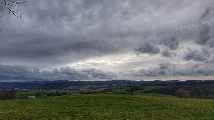
Cycling Route in Höchst im Odenwald, Hesse, Germany

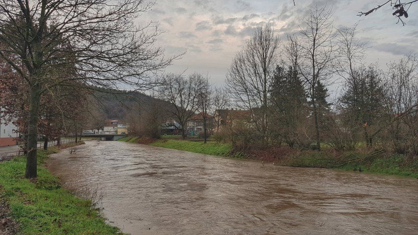
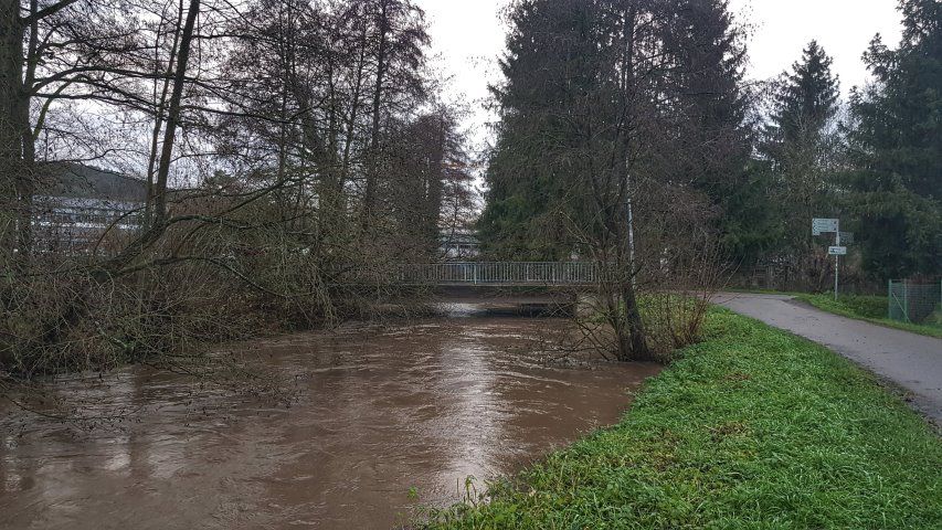
Viel Wasser im Wald und in der Mümling

0
Open this route in Bikemap Web

Open this route in Bikemap Web

28 km
Distance
491 m
Ascent
488 m
Descent
-:-- h
Duration
-- km/h
Avg. Speed
--- m
Max. Elevation

About This Route

Am Nachmittag hat der Regen nachgelassen. Schnell rauf aufs Bike. Im Wald überall Bäche entlang der Forststraßen. Mächtig viel Wasser im Wald, was sich dann auch in der Mümling wiederspiegelt. #noebike

This cycling route is ideal for: MTB

You will cycle on the following surfaces: Unpaved

Route Photos

Customize this cycling route with the Bikemap route planner.

Make it yours!

You can use this route as a template in our cycling route planner so that you don’t have to start from scratch. Customize it based on your needs to plan your perfect cycling tour.