

Sheffield, Derbyshire & Rotherham
A cycling route starting in Orgreave, England, United Kingdom.
Overview
About this route
Mixture of on road, tough off road and relaxed trail
- -:--
- Duration
- 66.3 km
- Distance
- 644 m
- Ascent
- 643 m
- Descent
- ---
- Avg. speed
- ---
- Avg. speed

Route quality
Waytypes & surfaces along the route
Waytypes
Cycleway
14.5 km
(22 %)
Path
14 km
(21 %)
Surfaces
Paved
41.3 km
(62 %)
Unpaved
9.4 km
(14 %)
Asphalt
35.2 km
(53 %)
Gravel
8.4 km
(13 %)
Continue with Bikemap
Use, edit, or download this cycling route
You would like to ride Sheffield, Derbyshire & Rotherham or customize it for your own trip? Here is what you can do with this Bikemap route:
Free features
- Save this route as favorite or in collections
- Copy & plan your own version of this route
- Sync your route with Garmin or Wahoo
Premium features
Free trial for 3 days, or one-time payment. More about Bikemap Premium.
- Navigate this route on iOS & Android
- Export a GPX / KML file of this route
- Create your custom printout (try it for free)
- Download this route for offline navigation
Discover more Premium features.
Get Bikemap PremiumFrom our community
Other popular routes starting in Orgreave
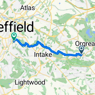 work test 2
- Distance
- 8.6 km
- Ascent
- 92 m
- Descent
- 116 m
- Location
- Orgreave, England, United Kingdom
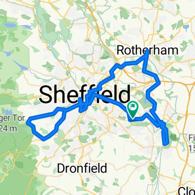 Sheffield, Derbyshire & Rotherham
- Distance
- 66.3 km
- Ascent
- 644 m
- Descent
- 643 m
- Location
- Orgreave, England, United Kingdom
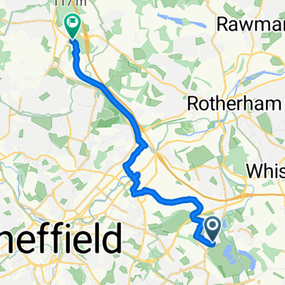
 to work 10/8/23
- Distance
- 6.6 km
- Ascent
- 16 m
- Descent
- 125 m
- Location
- Orgreave, England, United Kingdom
 to work 2/8/23
- Distance
- 6.5 km
- Ascent
- 9 m
- Descent
- 115 m
- Location
- Orgreave, England, United Kingdom
 to work 11/8/23
- Distance
- 6.6 km
- Ascent
- 9 m
- Descent
- 112 m
- Location
- Orgreave, England, United Kingdom
 Waverley to Chapeltown route 67
- Distance
- 14.7 km
- Ascent
- 157 m
- Descent
- 81 m
- Location
- Orgreave, England, United Kingdom
 Work Ride
- Distance
- 13.2 km
- Ascent
- 176 m
- Descent
- 84 m
- Location
- Orgreave, England, United Kingdom
 Rother valley and back
- Distance
- 23.8 km
- Ascent
- 353 m
- Descent
- 351 m
- Location
- Orgreave, England, United Kingdom
Open it in the app