
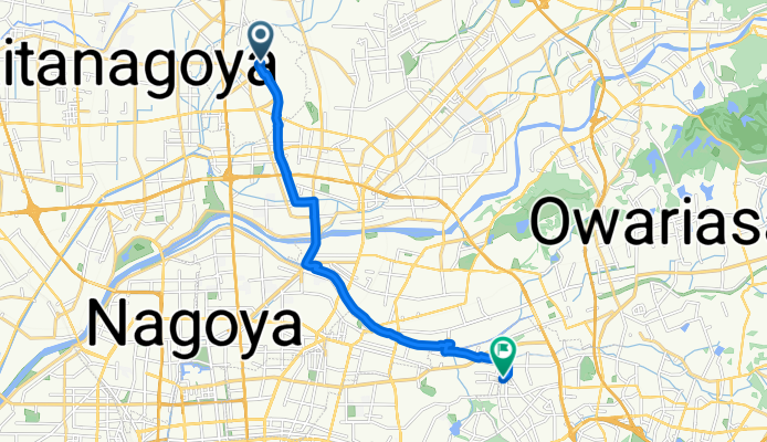
Toyoba Hayashizaki, Toyoyama-Cho, Nishikasugai-Gun to 6-9, Kyomei 2-Chōme, Chikusa-Ku, Nagoya-Shi
A cycling route starting in Komaki, Aichi, Japan.
Overview
About this route
- 45 min
- Duration
- 13.4 km
- Distance
- 13 m
- Ascent
- 16 m
- Descent
- 17.9 km/h
- Avg. speed
- ---
- Avg. speed

Continue with Bikemap
Use, edit, or download this cycling route
You would like to ride Toyoba Hayashizaki, Toyoyama-Cho, Nishikasugai-Gun to 6-9, Kyomei 2-Chōme, Chikusa-Ku, Nagoya-Shi or customize it for your own trip? Here is what you can do with this Bikemap route:
Free features
- Save this route as favorite or in collections
- Copy & plan your own version of this route
- Sync your route with Garmin or Wahoo
Premium features
Free trial for 3 days, or one-time payment. More about Bikemap Premium.
- Navigate this route on iOS & Android
- Export a GPX / KML file of this route
- Create your custom printout (try it for free)
- Download this route for offline navigation
Discover more Premium features.
Get Bikemap PremiumFrom our community
Other popular routes starting in Komaki
 Komaki
- Distance
- 5.4 km
- Ascent
- 9 m
- Descent
- 8 m
- Location
- Komaki, Aichi, Japan
 Toyoba Hayashizaki, Toyoyama-Cho, Nishikasugai-Gun to 6-9, Kyomei 2-Chōme, Chikusa-Ku, Nagoya-Shi
- Distance
- 13.4 km
- Ascent
- 13 m
- Descent
- 16 m
- Location
- Komaki, Aichi, Japan
 1丁目, 犬山市 to 237−54, 小牧市
- Distance
- 0.3 km
- Ascent
- 0 m
- Descent
- 0 m
- Location
- Komaki, Aichi, Japan
 De 126, Higashi 1-Chōme, Komaki-Shi a 20, Gonaka 1-Chōme, Komaki-Shi
- Distance
- 3.1 km
- Ascent
- 10 m
- Descent
- 13 m
- Location
- Komaki, Aichi, Japan
 De 10, Gonaka 1-Chōme, Komaki-Shi a 1, Higashishimmachi Nakaura, Iwakura-Shi
- Distance
- 3.8 km
- Ascent
- 18 m
- Descent
- 19 m
- Location
- Komaki, Aichi, Japan
 flattt
- Distance
- 0.7 km
- Ascent
- 4 m
- Descent
- 0 m
- Location
- Komaki, Aichi, Japan
 小牧市 to 2丁目, 岐阜市
- Distance
- 28.5 km
- Ascent
- 27 m
- Descent
- 25 m
- Location
- Komaki, Aichi, Japan
 bike tour from Toyoyama, Nishikasugai-Gun to Chikusa-Ku, Nagoya
- Distance
- 12.7 km
- Ascent
- 53 m
- Descent
- 41 m
- Location
- Komaki, Aichi, Japan
Open it in the app