

樹林右岸河濱至淡水3/9/2020
A cycling route starting in Banqiao District, Taipei, Taiwan.
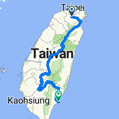
Overview
About this route
- 5 h 48 min
- Duration
- 77.1 km
- Distance
- 7 m
- Ascent
- 24 m
- Descent
- 13.3 km/h
- Avg. speed
- ---
- Avg. speed

Route photos


Continue with Bikemap
Use, edit, or download this cycling route
You would like to ride 樹林右岸河濱至淡水3/9/2020 or customize it for your own trip? Here is what you can do with this Bikemap route:
Free features
- Save this route as favorite or in collections
- Copy & plan your own version of this route
- Sync your route with Garmin or Wahoo
Premium features
Free trial for 3 days, or one-time payment. More about Bikemap Premium.
- Navigate this route on iOS & Android
- Export a GPX / KML file of this route
- Create your custom printout (try it for free)
- Download this route for offline navigation
Discover more Premium features.
Get Bikemap PremiumFrom our community
Other popular routes starting in Banqiao District
 永和-深坑-石碇106乙-北47-北宜-新店
- Distance
- 48.2 km
- Ascent
- 541 m
- Descent
- 541 m
- Location
- Banqiao District, Taipei, Taiwan
 菁桐遊
菁桐遊- Distance
- 29.7 km
- Ascent
- 505 m
- Descent
- 270 m
- Location
- Banqiao District, Taipei, Taiwan
 中央山脈一條鞭
- Distance
- 690.1 km
- Ascent
- 8,446 m
- Descent
- 8,466 m
- Location
- Banqiao District, Taipei, Taiwan
 北42/北43"藍鵲"公路
- Distance
- 90 km
- Ascent
- 1,049 m
- Descent
- 1,042 m
- Location
- Banqiao District, Taipei, Taiwan
 新店_(台9)坪林_106乙(石碇)_環圈
- Distance
- 59.8 km
- Ascent
- 2,096 m
- Descent
- 2,095 m
- Location
- Banqiao District, Taipei, Taiwan
 01/05/2019一日北高
- Distance
- 361.5 km
- Ascent
- 107 m
- Descent
- 108 m
- Location
- Banqiao District, Taipei, Taiwan
 烏來老街 ↔ 福山
- Distance
- 17 km
- Ascent
- 750 m
- Descent
- 479 m
- Location
- Banqiao District, Taipei, Taiwan
 縣106號操兵_中和至平溪
- Distance
- 29.9 km
- Ascent
- 446 m
- Descent
- 230 m
- Location
- Banqiao District, Taipei, Taiwan
Open it in the app