
Rennsteig
A cycling route starting in Blankenstein, Free State of Thuringia, Germany.
Overview
About this route
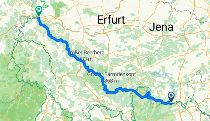
von Blankenstein nach Hörschel
- -:--
- Duration
- 184.3 km
- Distance
- 1,099 m
- Ascent
- 1,335 m
- Descent
- ---
- Avg. speed
- ---
- Avg. speed

Route quality
Waytypes & surfaces along the route
Waytypes
Track
108.9 km
(59 %)
Busy road
43.3 km
(23 %)
Surfaces
Paved
58.3 km
(32 %)
Unpaved
103.7 km
(56 %)
Gravel
86.6 km
(47 %)
Asphalt
57.5 km
(31 %)
Continue with Bikemap
Use, edit, or download this cycling route
You would like to ride Rennsteig or customize it for your own trip? Here is what you can do with this Bikemap route:
Free features
- Save this route as favorite or in collections
- Copy & plan your own version of this route
- Sync your route with Garmin or Wahoo
Premium features
Free trial for 3 days, or one-time payment. More about Bikemap Premium.
- Navigate this route on iOS & Android
- Export a GPX / KML file of this route
- Create your custom printout (try it for free)
- Download this route for offline navigation
Discover more Premium features.
Get Bikemap PremiumFrom our community
Other popular routes starting in Blankenstein
 RSSL_2012_1
- Distance
- 16.7 km
- Ascent
- 401 m
- Descent
- 120 m
- Location
- Blankenstein, Free State of Thuringia, Germany
 Höllental (Blankenstein)
- Distance
- 10.5 km
- Ascent
- 248 m
- Descent
- 248 m
- Location
- Blankenstein, Free State of Thuringia, Germany
 3. Etappe Blankenstein - Neudietendorf
- Distance
- 141.9 km
- Ascent
- 1,093 m
- Descent
- 1,294 m
- Location
- Blankenstein, Free State of Thuringia, Germany
 Rennsteig Radweg (entgegen der klassichen Richtung)
- Distance
- 184.4 km
- Ascent
- 1,249 m
- Descent
- 1,413 m
- Location
- Blankenstein, Free State of Thuringia, Germany
 SRW_Etappe3
- Distance
- 38.4 km
- Ascent
- 528 m
- Descent
- 635 m
- Location
- Blankenstein, Free State of Thuringia, Germany
 Rennsteigradweg u. Frankenwaldhochstr.
- Distance
- 61.4 km
- Ascent
- 897 m
- Descent
- 910 m
- Location
- Blankenstein, Free State of Thuringia, Germany
 Runde über Lobenstein Wurzbach Lehesten
- Distance
- 64.7 km
- Ascent
- 853 m
- Descent
- 853 m
- Location
- Blankenstein, Free State of Thuringia, Germany
 Blankenstein -Hörschel
- Distance
- 192 km
- Ascent
- 1,196 m
- Descent
- 1,419 m
- Location
- Blankenstein, Free State of Thuringia, Germany
Open it in the app