

Vagnhärad till Bergs Gård: Gårdscafé & butik, Mountainbike, Boende och Relax
A cycling route starting in Vagnhärad, Södermanland County, Sweden.
Overview
About this route
- -:--
- Duration
- 11.3 km
- Distance
- 102 m
- Ascent
- 110 m
- Descent
- ---
- Avg. speed
- ---
- Avg. speed
Route quality
Waytypes & surfaces along the route
Waytypes
Busy road
6.9 km
(61 %)
Quiet road
2.3 km
(21 %)
Surfaces
Paved
7.3 km
(64 %)
Unpaved
1.9 km
(17 %)
Asphalt
7.3 km
(64 %)
Gravel
1.5 km
(13 %)
Route highlights
Points of interest along the route
Point of interest after 7.2 km
Västerljungs Kyrka / Church
Point of interest after 7.5 km
Sillebadet / Sille Beach
Point of interest after 7.5 km
Västerljungs Blommor / Flower Garden
Continue with Bikemap
Use, edit, or download this cycling route
You would like to ride Vagnhärad till Bergs Gård: Gårdscafé & butik, Mountainbike, Boende och Relax or customize it for your own trip? Here is what you can do with this Bikemap route:
Free features
- Save this route as favorite or in collections
- Copy & plan your own version of this route
- Sync your route with Garmin or Wahoo
Premium features
Free trial for 3 days, or one-time payment. More about Bikemap Premium.
- Navigate this route on iOS & Android
- Export a GPX / KML file of this route
- Create your custom printout (try it for free)
- Download this route for offline navigation
Discover more Premium features.
Get Bikemap PremiumFrom our community
Other popular routes starting in Vagnhärad
 Trosa Nyköping
- Distance
- 54.6 km
- Ascent
- 246 m
- Descent
- 252 m
- Location
- Vagnhärad, Södermanland County, Sweden
 Stationsvägen 4, Vagnhärad to Jupitervägen 98, Nyköping
- Distance
- 57.2 km
- Ascent
- 1,097 m
- Descent
- 1,083 m
- Location
- Vagnhärad, Södermanland County, Sweden
 Pastviny - Norrköping
- Distance
- 118.6 km
- Ascent
- 363 m
- Descent
- 333 m
- Location
- Vagnhärad, Södermanland County, Sweden
 60km
60km- Distance
- 30 km
- Ascent
- 292 m
- Descent
- 253 m
- Location
- Vagnhärad, Södermanland County, Sweden
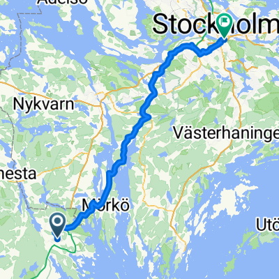
 Vagnhärad - Stockholm
- Distance
- 69.2 km
- Ascent
- 371 m
- Descent
- 362 m
- Location
- Vagnhärad, Södermanland County, Sweden
 wils och jag
- Distance
- 255 km
- Ascent
- 447 m
- Descent
- 439 m
- Location
- Vagnhärad, Södermanland County, Sweden
 Länsväg 219, Västerljung to Länsväg 219, Tystberga
- Distance
- 21.7 km
- Ascent
- 156 m
- Descent
- 161 m
- Location
- Vagnhärad, Södermanland County, Sweden
 Long bike tour through Stockholm
- Distance
- 75.8 km
- Ascent
- 400 m
- Descent
- 406 m
- Location
- Vagnhärad, Södermanland County, Sweden
Open it in the app