
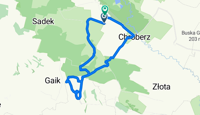
Ponidzie Betlejem
A cycling route starting in Gmina Michałów, Świętokrzyskie Voivodship, Poland.
Overview
About this route
- -:--
- Duration
- 26.8 km
- Distance
- 254 m
- Ascent
- 258 m
- Descent
- ---
- Avg. speed
- ---
- Avg. speed

Route quality
Waytypes & surfaces along the route
Waytypes
Quiet road
11.5 km
(43 %)
Road
10.2 km
(38 %)
Surfaces
Paved
14.5 km
(54 %)
Unpaved
3.3 km
(12 %)
Asphalt
14.5 km
(54 %)
Gravel
1.8 km
(7 %)
Continue with Bikemap
Use, edit, or download this cycling route
You would like to ride Ponidzie Betlejem or customize it for your own trip? Here is what you can do with this Bikemap route:
Free features
- Save this route as favorite or in collections
- Copy & plan your own version of this route
- Sync your route with Garmin or Wahoo
Premium features
Free trial for 3 days, or one-time payment. More about Bikemap Premium.
- Navigate this route on iOS & Android
- Export a GPX / KML file of this route
- Create your custom printout (try it for free)
- Download this route for offline navigation
Discover more Premium features.
Get Bikemap PremiumFrom our community
Other popular routes starting in Gmina Michałów
 koniec Fanu
- Distance
- 15.7 km
- Ascent
- 53 m
- Descent
- 57 m
- Location
- Gmina Michałów, Świętokrzyskie Voivodship, Poland
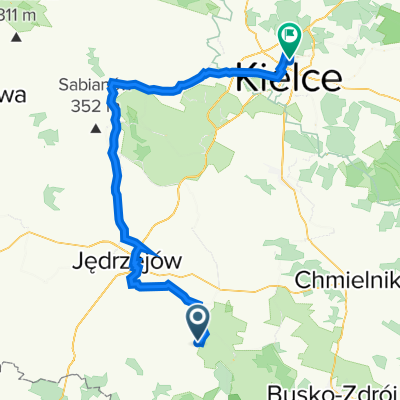
 Dzień 3
- Distance
- 98.2 km
- Ascent
- 878 m
- Descent
- 743 m
- Location
- Gmina Michałów, Świętokrzyskie Voivodship, Poland
 ania2022d2
- Distance
- 80.7 km
- Ascent
- 467 m
- Descent
- 380 m
- Location
- Gmina Michałów, Świętokrzyskie Voivodship, Poland
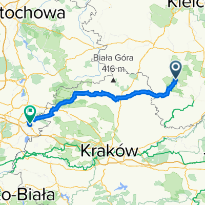 Młodzawy Małe do Grunwaldzka 138, Jaworzno
- Distance
- 115.2 km
- Ascent
- 764 m
- Descent
- 670 m
- Location
- Gmina Michałów, Świętokrzyskie Voivodship, Poland
 Route to Droga Wojewódzka 766 155, Michałów
- Distance
- 130.3 km
- Ascent
- 845 m
- Descent
- 892 m
- Location
- Gmina Michałów, Świętokrzyskie Voivodship, Poland
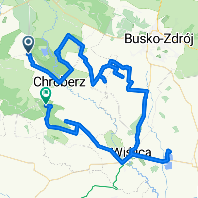 ponidzie 12
- Distance
- 77.8 km
- Ascent
- 350 m
- Descent
- 244 m
- Location
- Gmina Michałów, Świętokrzyskie Voivodship, Poland
 Dzień3b
- Distance
- 105.5 km
- Ascent
- 337 m
- Descent
- 294 m
- Location
- Gmina Michałów, Świętokrzyskie Voivodship, Poland
 Bełk-Busko-Wiślica-Bełk
- Distance
- 80.3 km
- Ascent
- 389 m
- Descent
- 390 m
- Location
- Gmina Michałów, Świętokrzyskie Voivodship, Poland
Open it in the app