
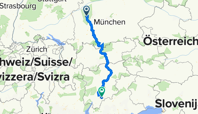
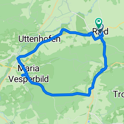
Ried bei Ustersbach bis Calceranica (Italien-Caldonazzosee)
A cycling route starting in Ustersbach, Bavaria, Germany.
Overview
About this route
Sehr schöne Tagestour über den Brenner gefahren von Anton und Josef (RSDD) am 8.07.2010
- -:--
- Duration
- 384.8 km
- Distance
- 2,000 m
- Ascent
- 2,046 m
- Descent
- ---
- Avg. speed
- ---
- Avg. speed

Continue with Bikemap
Use, edit, or download this cycling route
You would like to ride Ried bei Ustersbach bis Calceranica (Italien-Caldonazzosee) or customize it for your own trip? Here is what you can do with this Bikemap route:
Free features
- Save this route as favorite or in collections
- Copy & plan your own version of this route
- Sync your route with Garmin or Wahoo
Premium features
Free trial for 3 days, or one-time payment. More about Bikemap Premium.
- Navigate this route on iOS & Android
- Export a GPX / KML file of this route
- Create your custom printout (try it for free)
- Download this route for offline navigation
Discover more Premium features.
Get Bikemap PremiumFrom our community
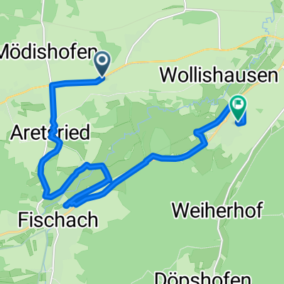
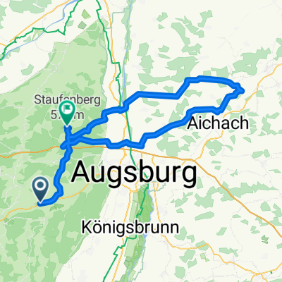
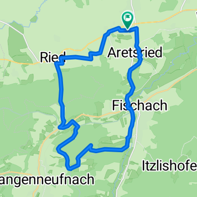
Other popular routes starting in Ustersbach
 A14 9, Dinkelscherben nach Lindau (Bodensee)
- Distance
- 130.1 km
- Ascent
- 1,298 m
- Descent
- 1,326 m
- Location
- Ustersbach, Bavaria, Germany
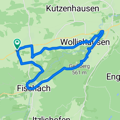
 B300, Kutzenhausen nach Brahmsstraße 3, Gessertshausen
- Distance
- 13.7 km
- Ascent
- 94 m
- Descent
- 85 m
- Location
- Ustersbach, Bavaria, Germany
 Oma .....
- Distance
- 116.2 km
- Ascent
- 459 m
- Descent
- 418 m
- Location
- Ustersbach, Bavaria, Germany
 Staudentour mit Biergarten Unterrothan
- Distance
- 18.5 km
- Ascent
- 180 m
- Descent
- 184 m
- Location
- Ustersbach, Bavaria, Germany
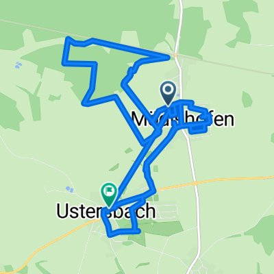 Gerade Fahrt in Ustersbach
- Distance
- 15.6 km
- Ascent
- 404 m
- Descent
- 397 m
- Location
- Ustersbach, Bavaria, Germany
 rundtour Grimoldsried Unterrothan
- Distance
- 33.7 km
- Ascent
- 488 m
- Descent
- 488 m
- Location
- Ustersbach, Bavaria, Germany
 Raunerstraße nach Raunerstraße
- Distance
- 20.9 km
- Ascent
- 275 m
- Descent
- 275 m
- Location
- Ustersbach, Bavaria, Germany
 Witaquelle - Radrundweg
- Distance
- 20.5 km
- Ascent
- 185 m
- Descent
- 184 m
- Location
- Ustersbach, Bavaria, Germany
Open it in the app